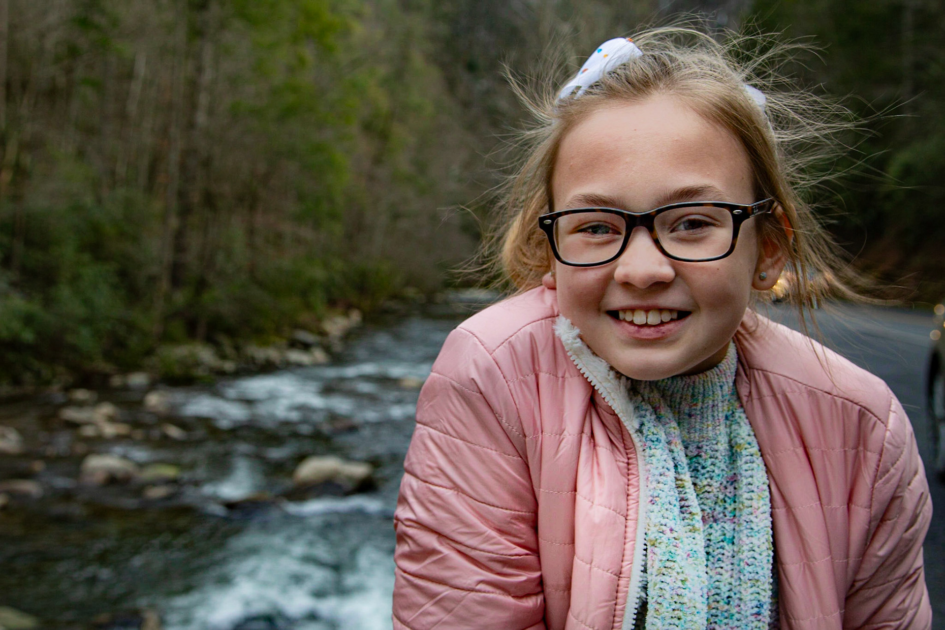
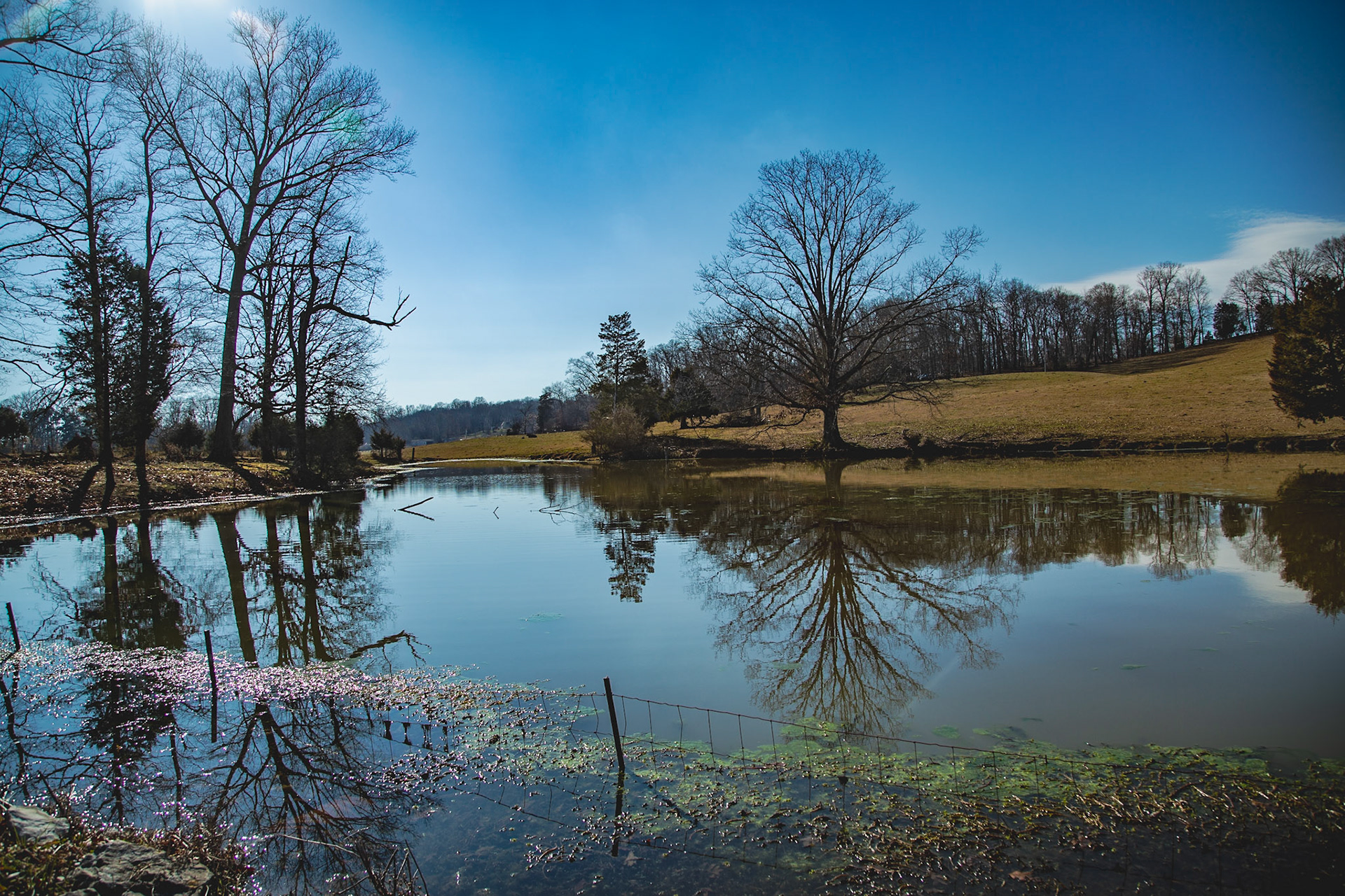
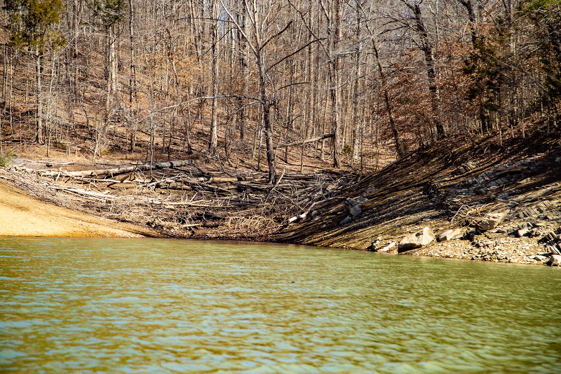
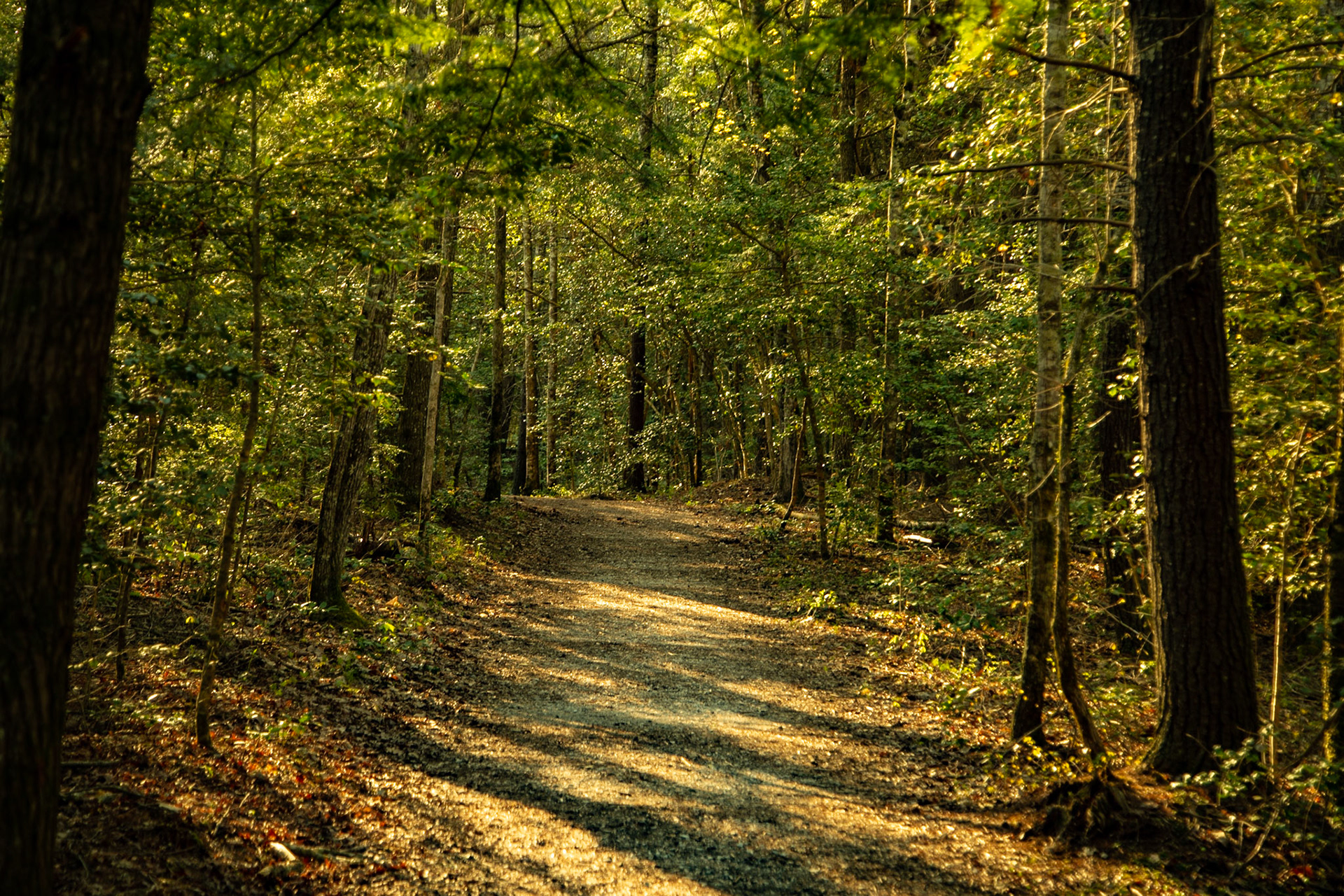
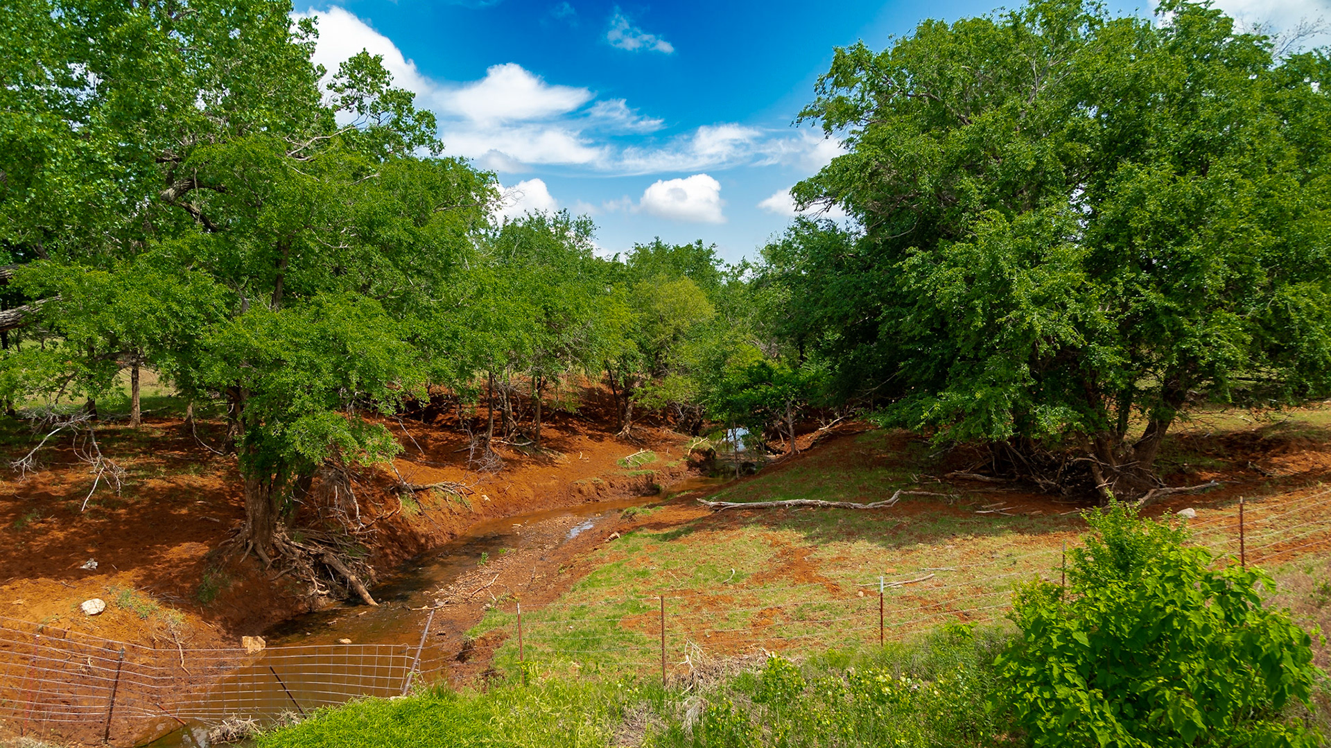
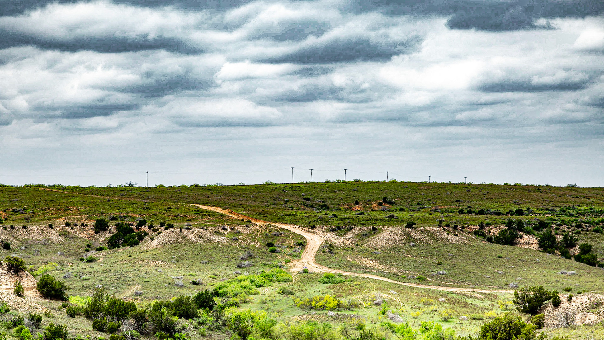
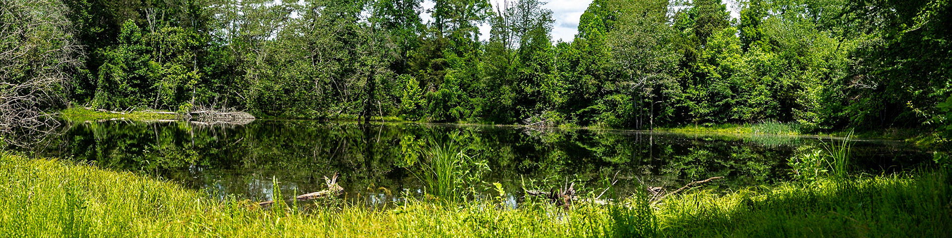
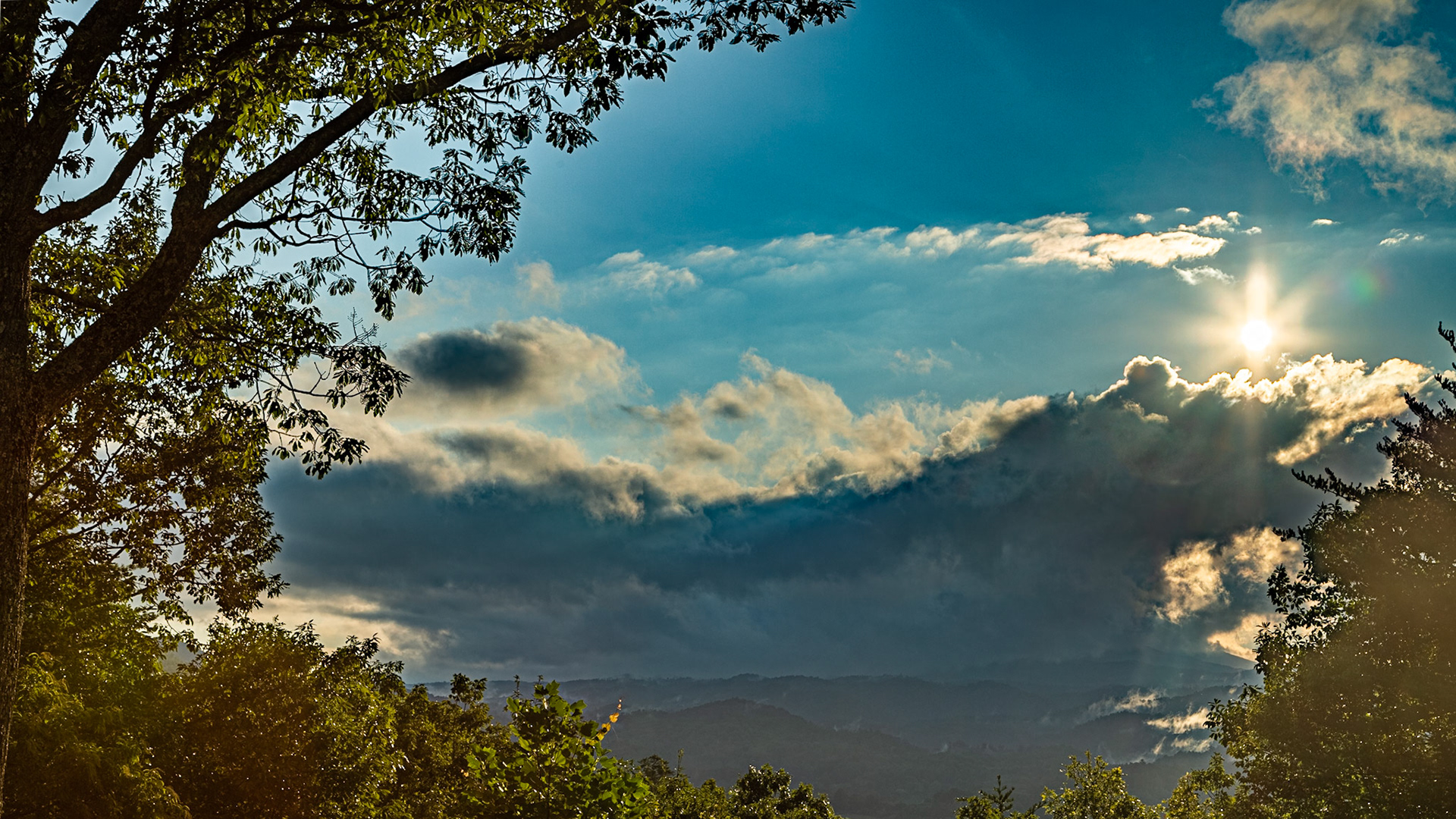
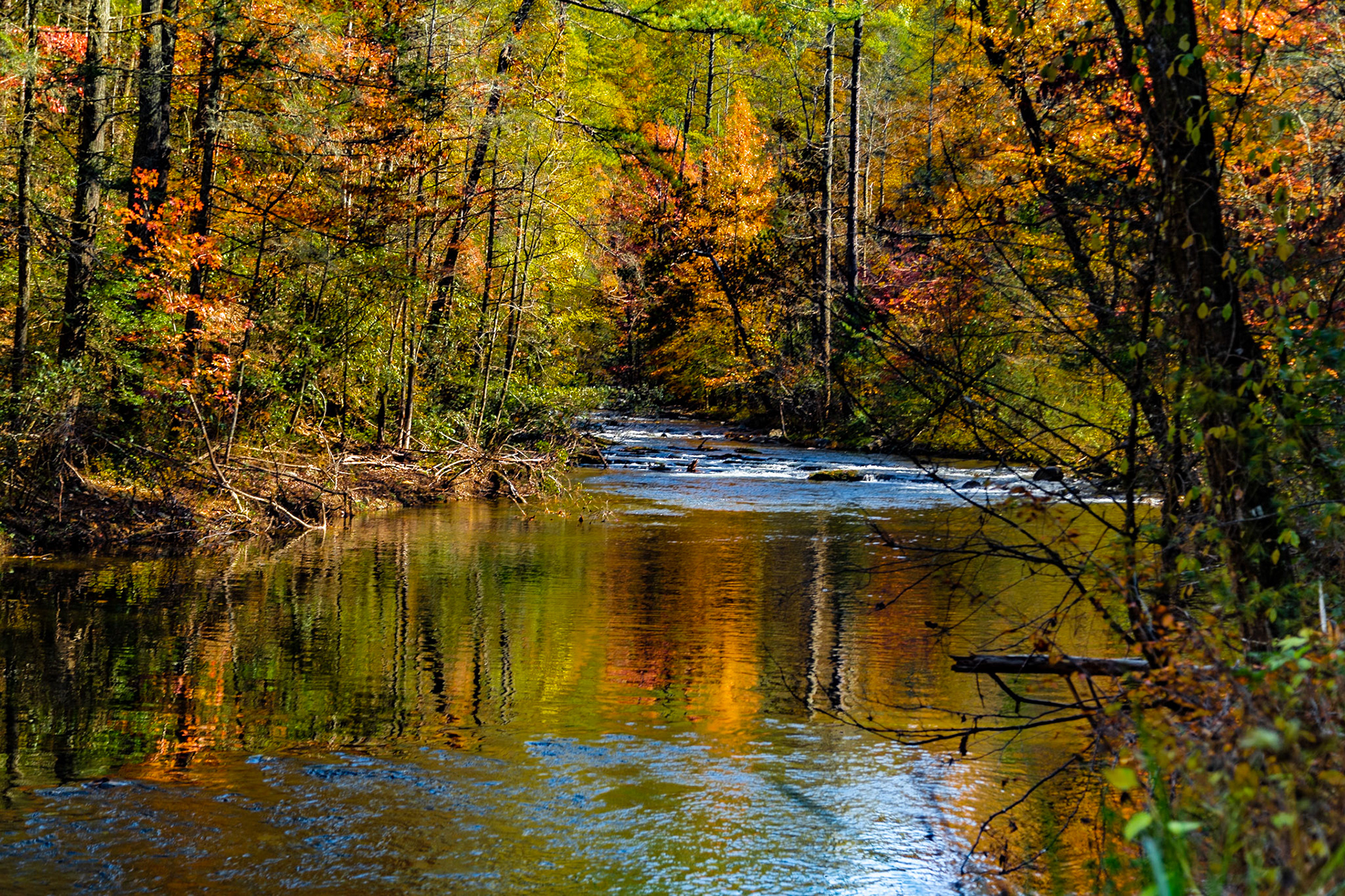
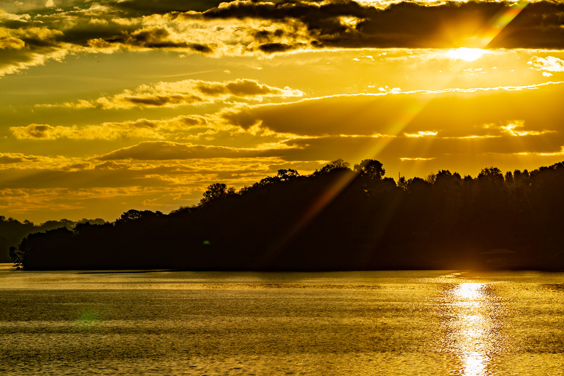
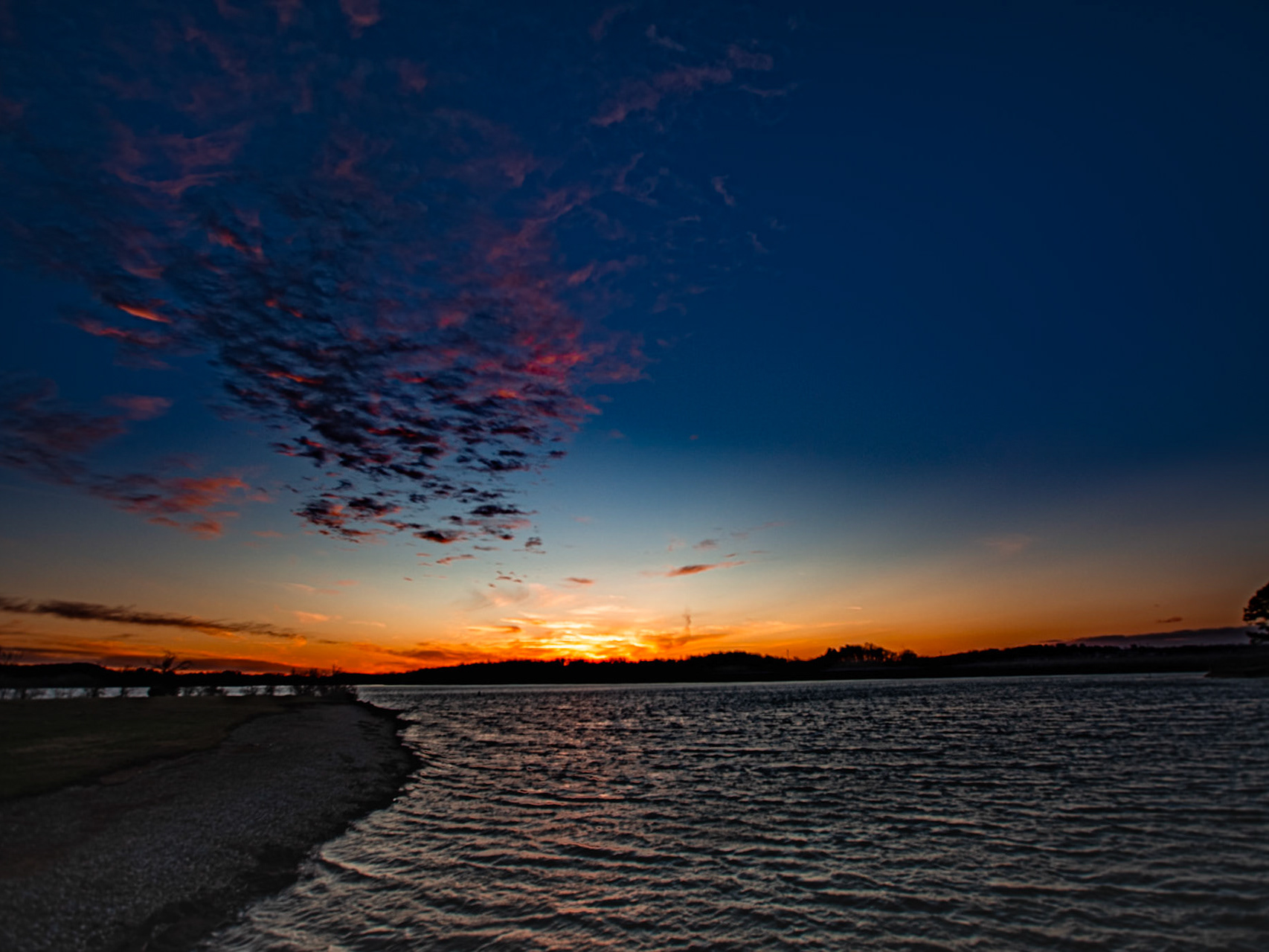
Cove at Turkey Creek to Sweetbriar Greenway
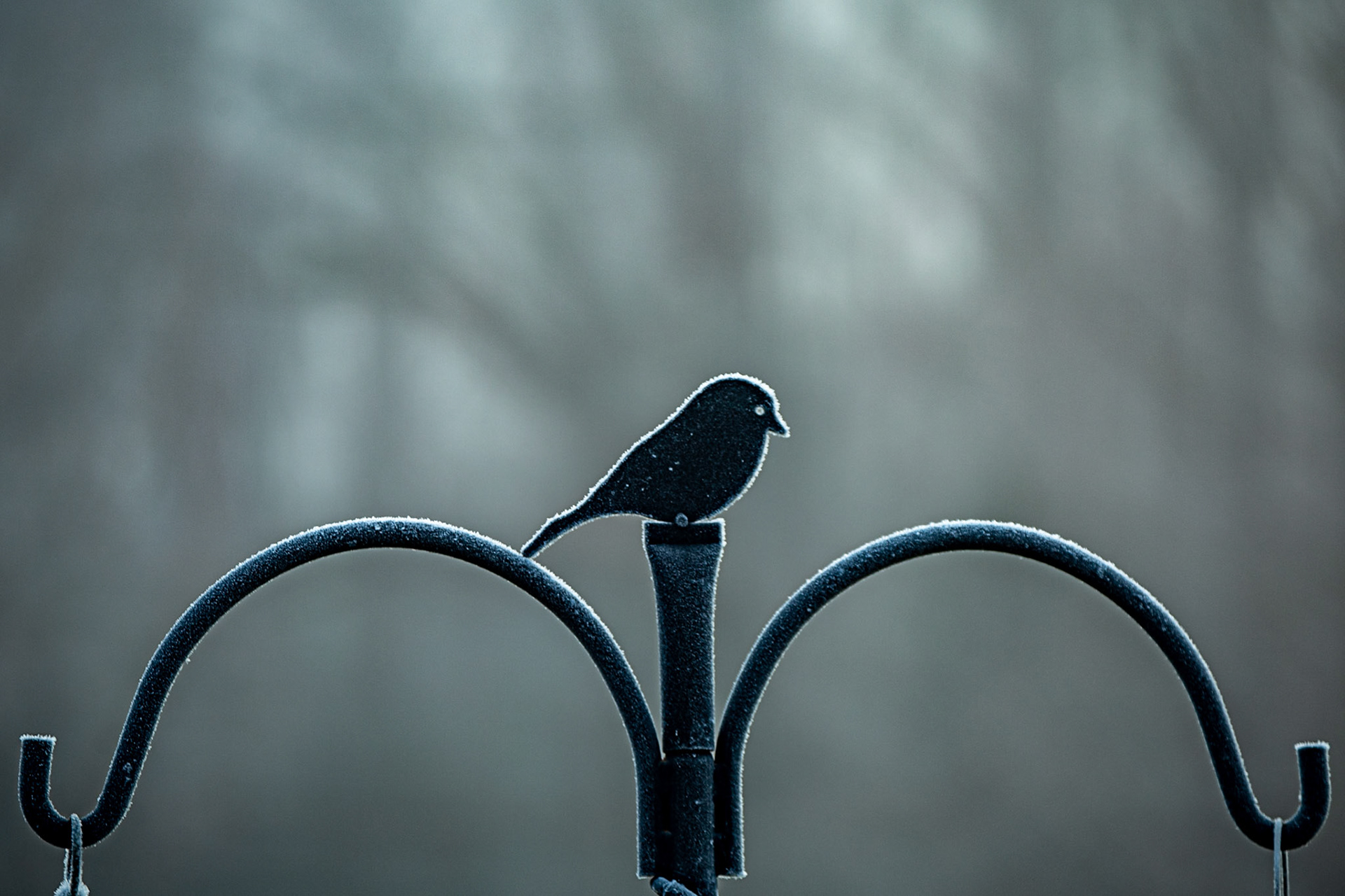
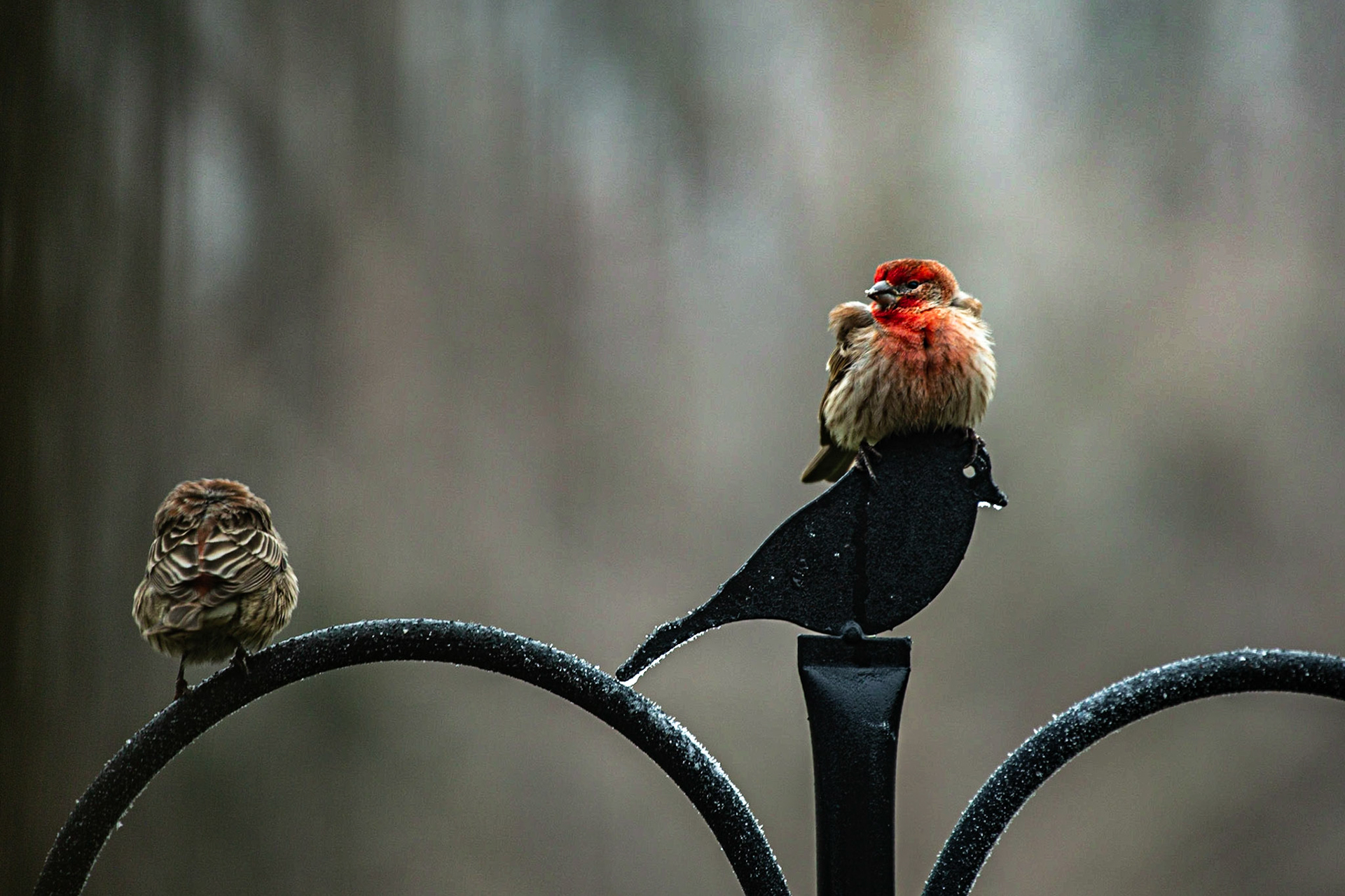
Waiting at the Bird Feeder
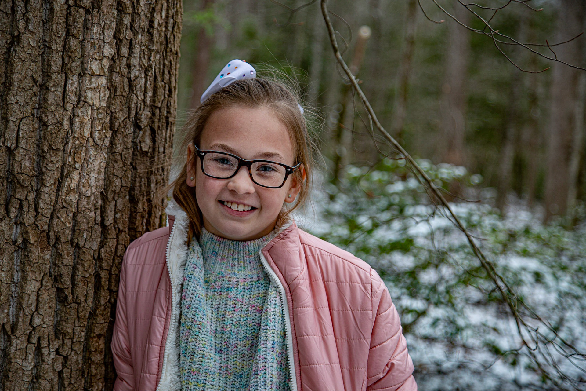
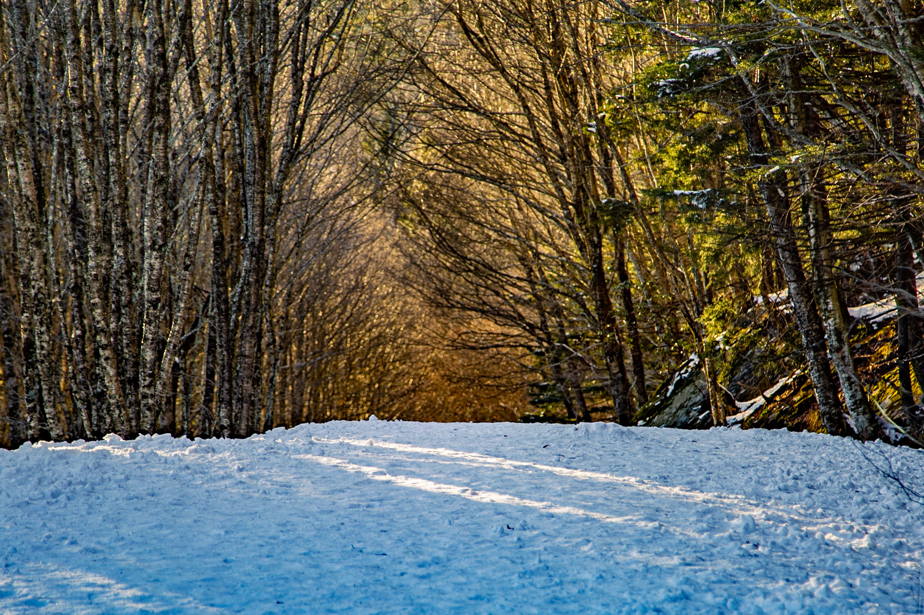
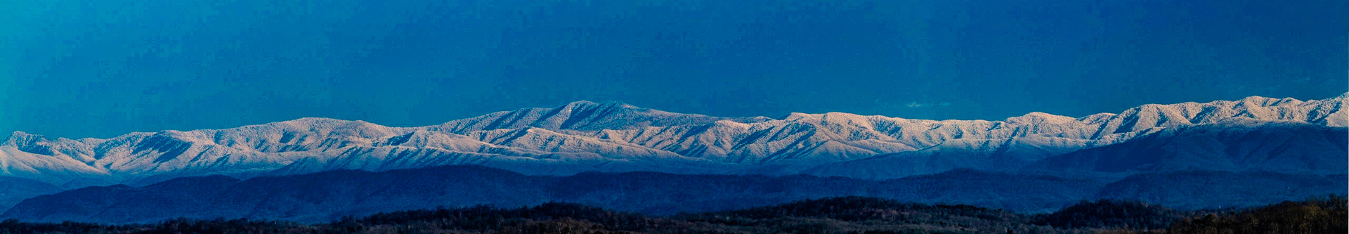
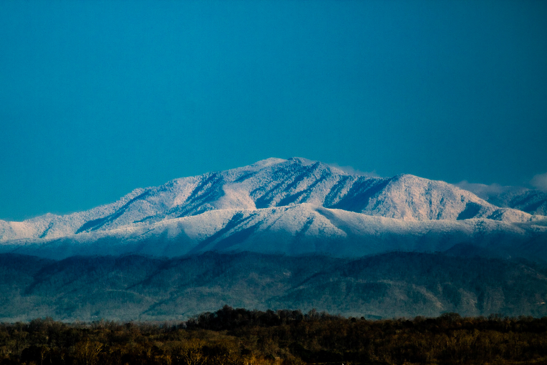
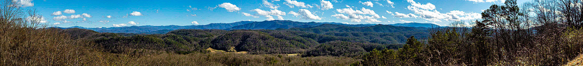
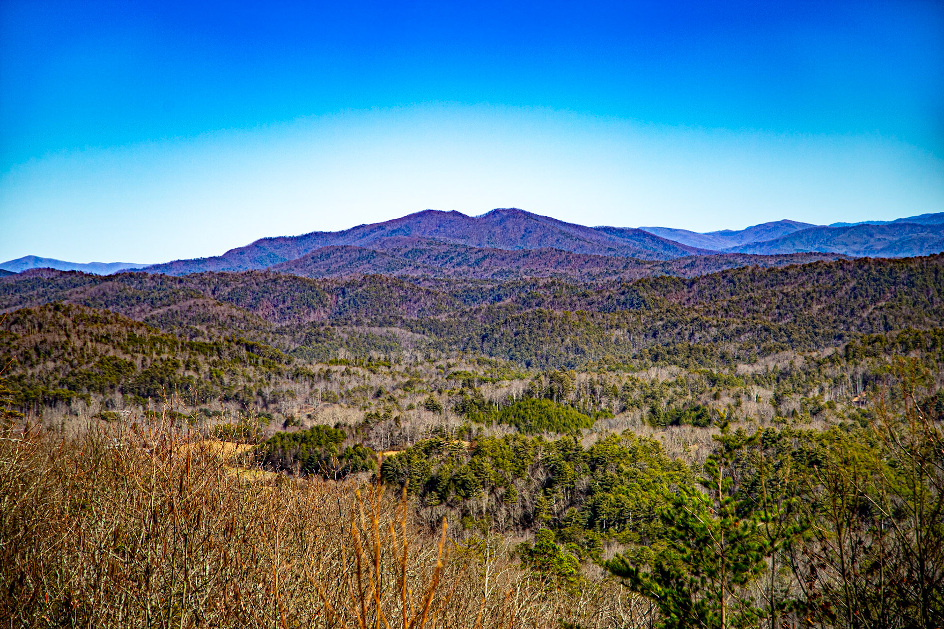
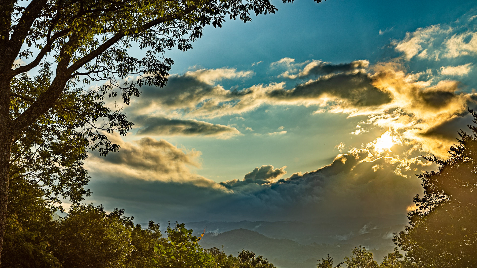
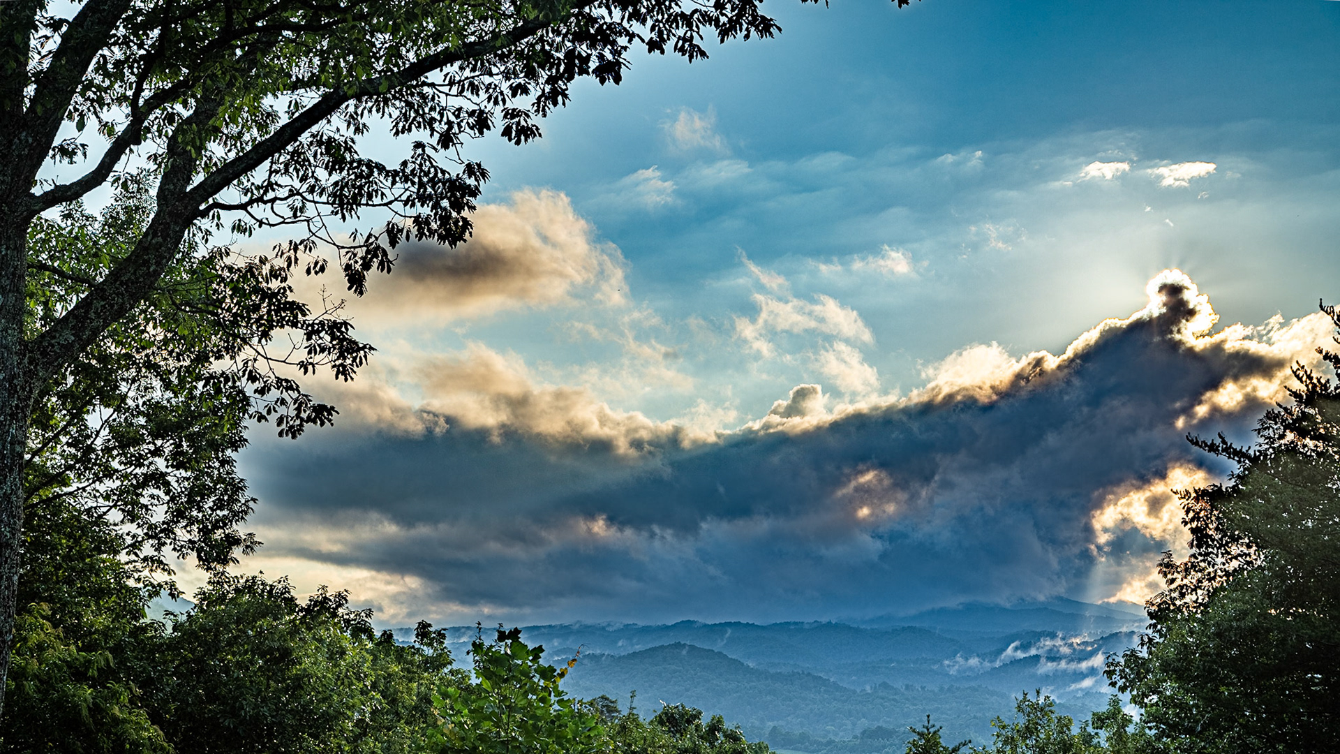
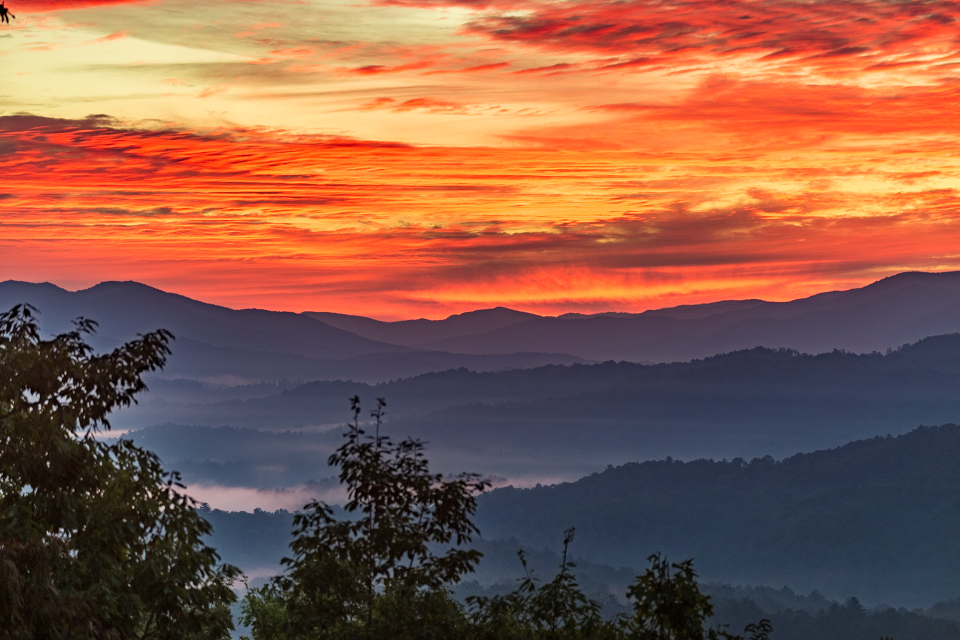
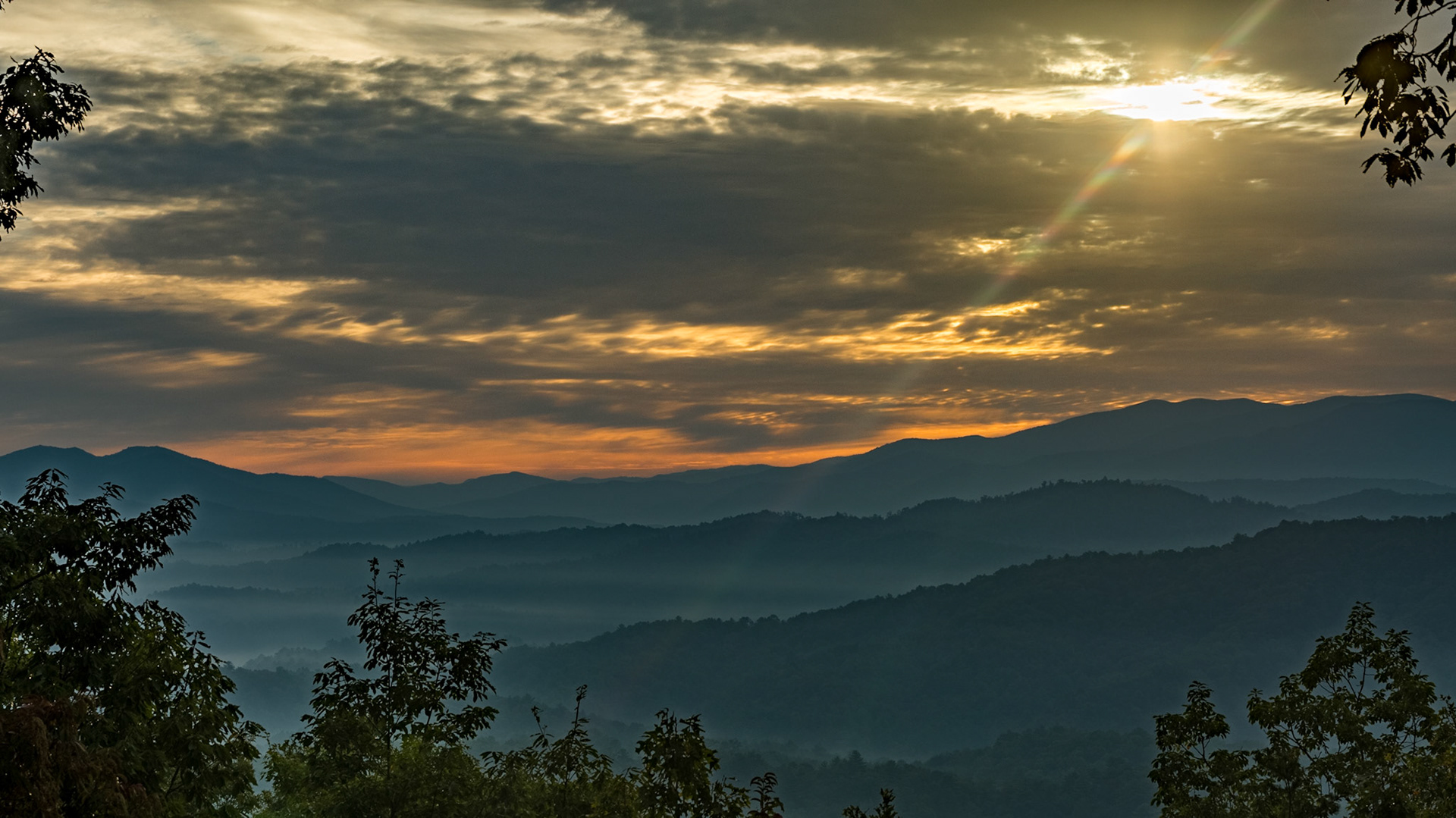
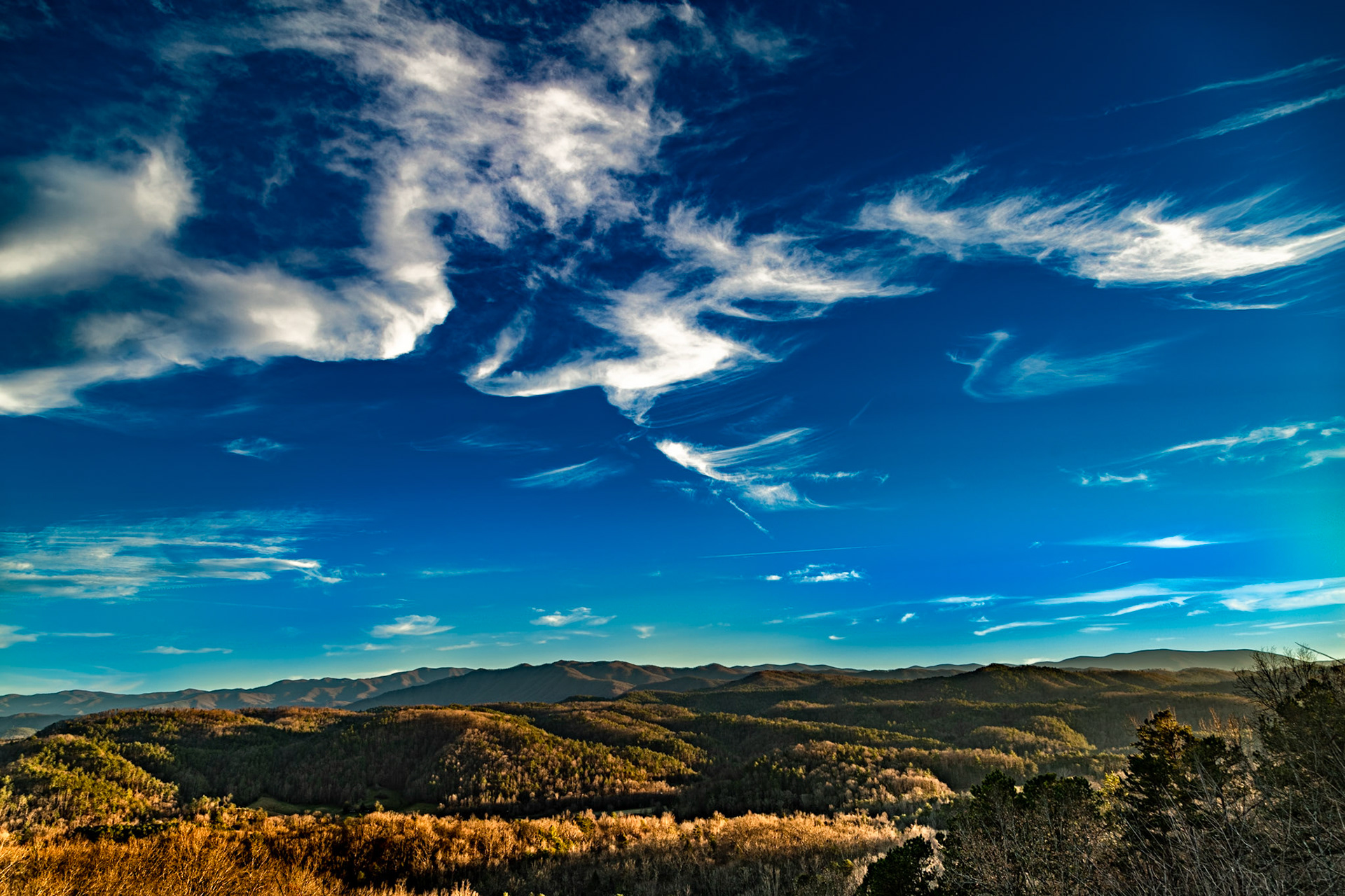
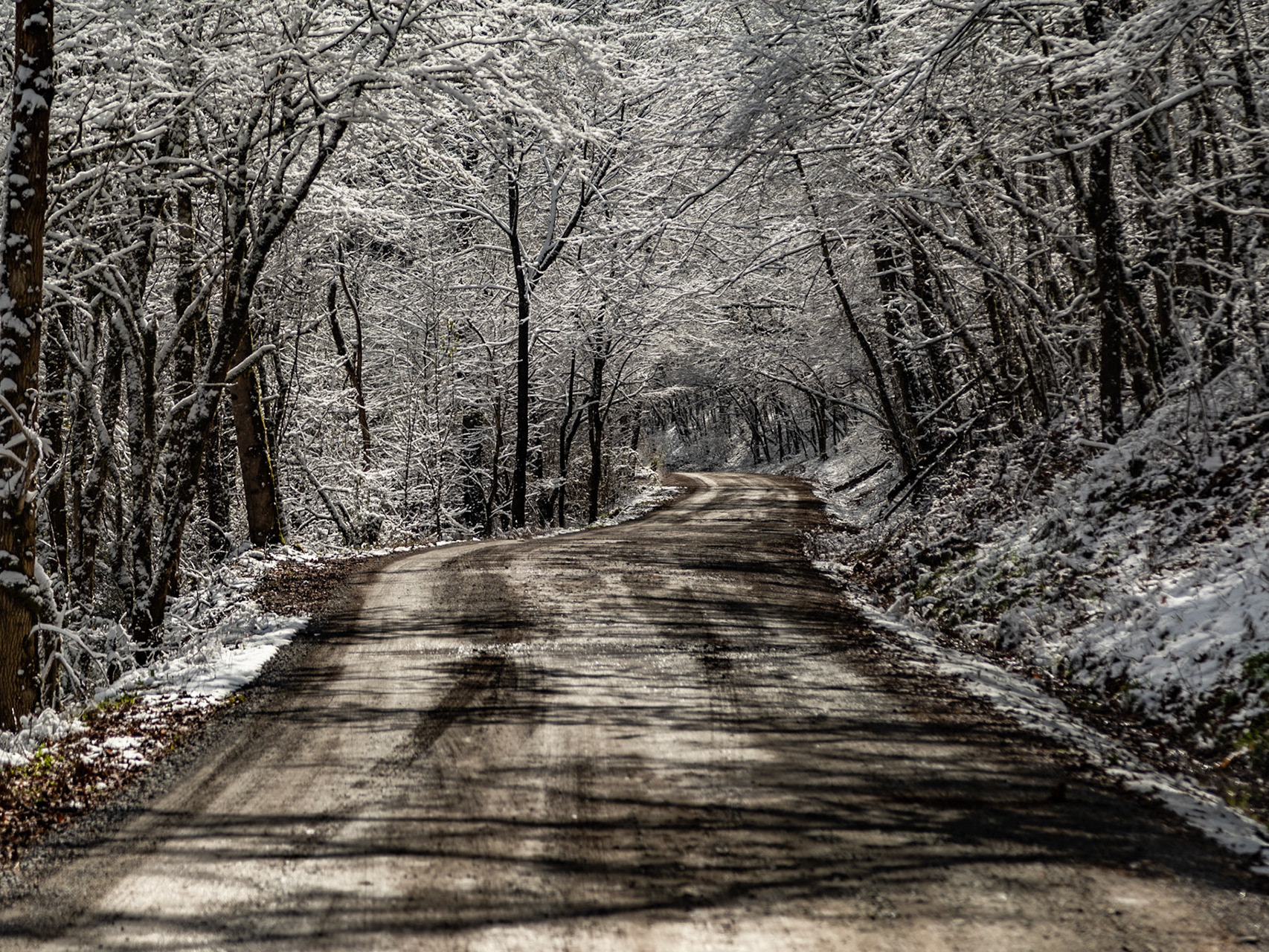
Winter at Deep Creek Overlook
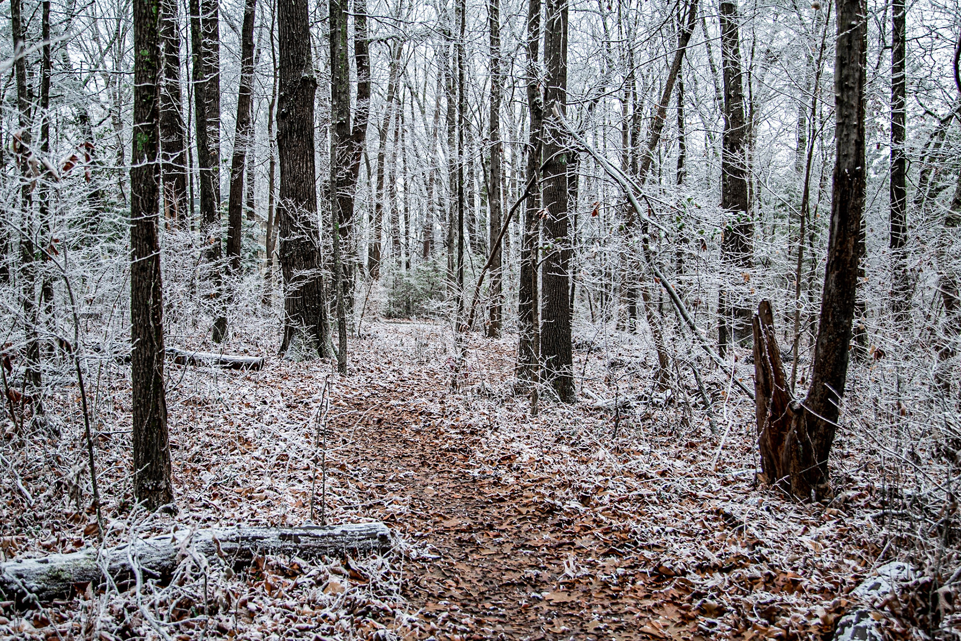
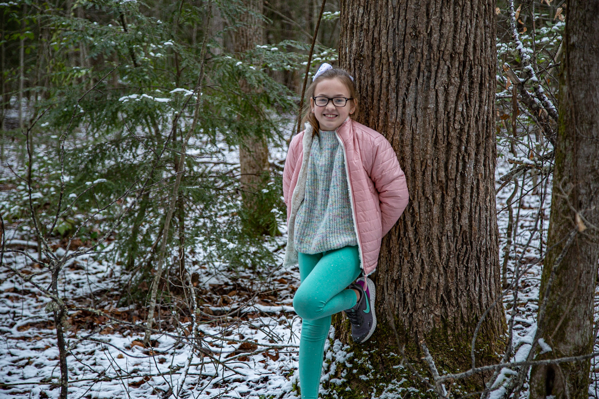
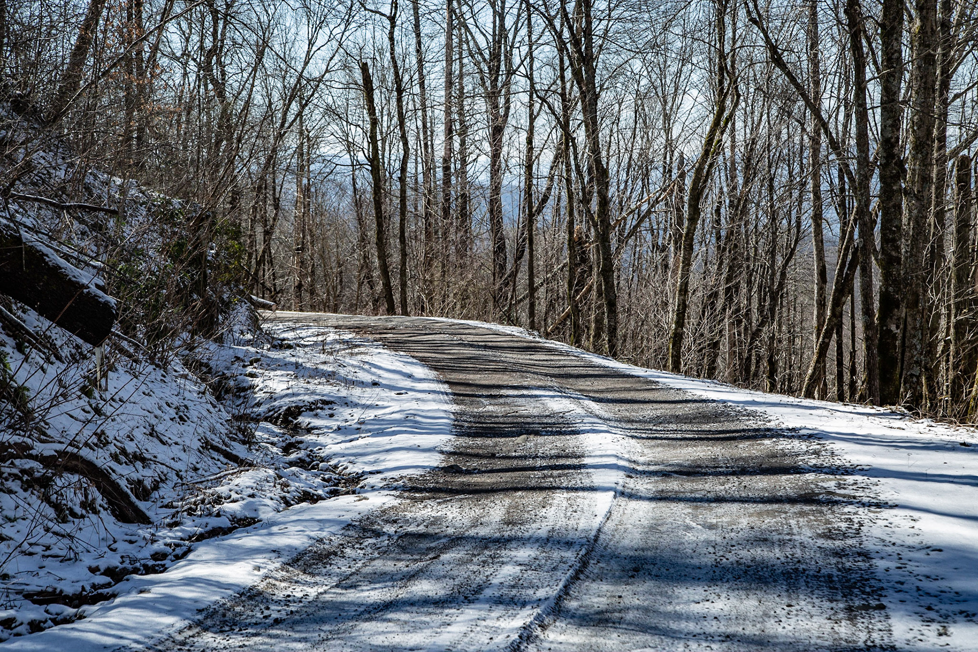
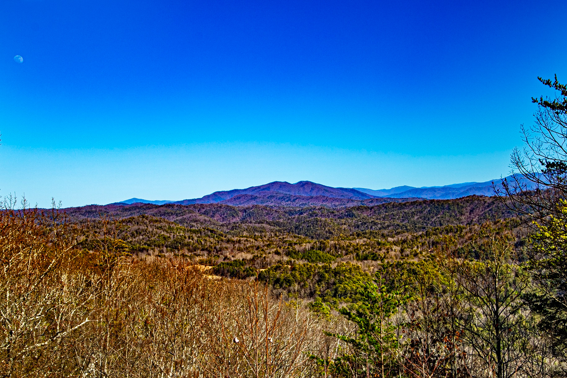
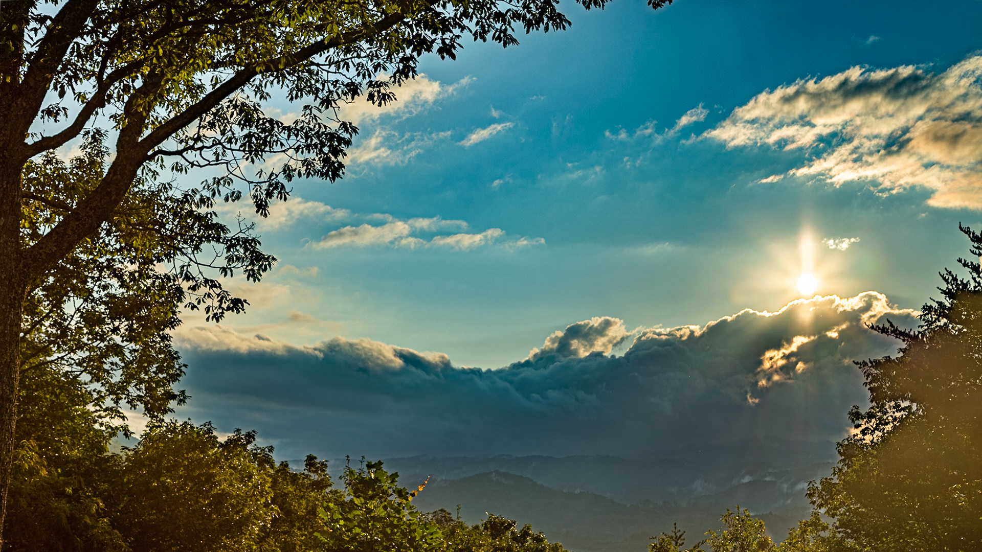
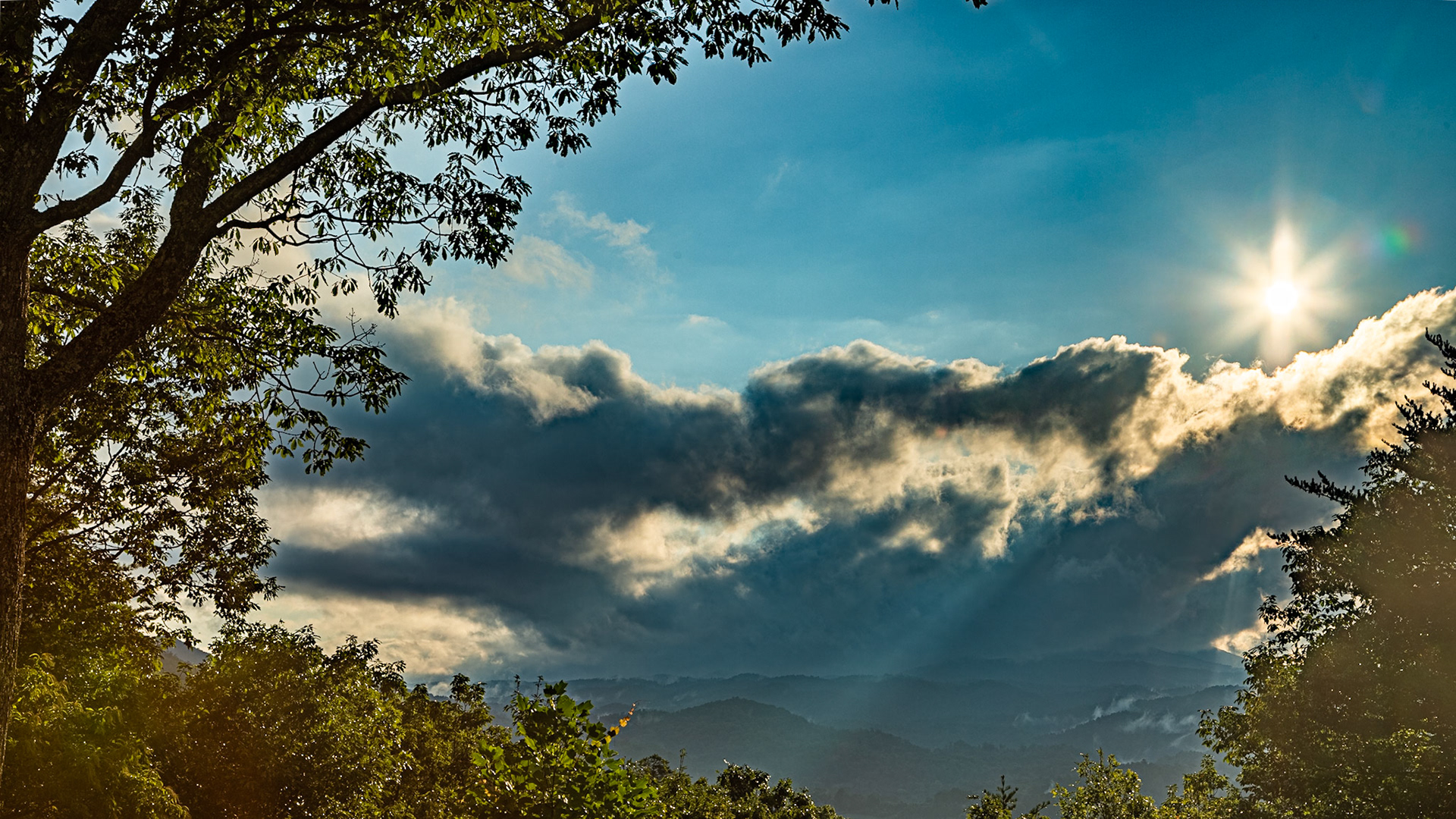
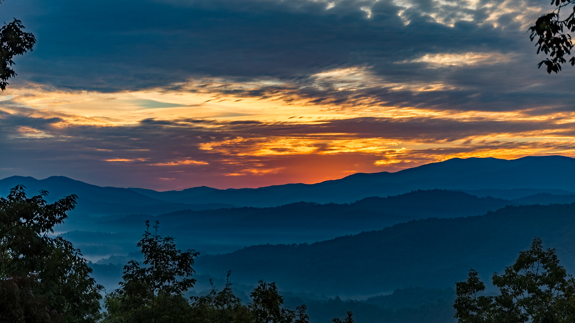
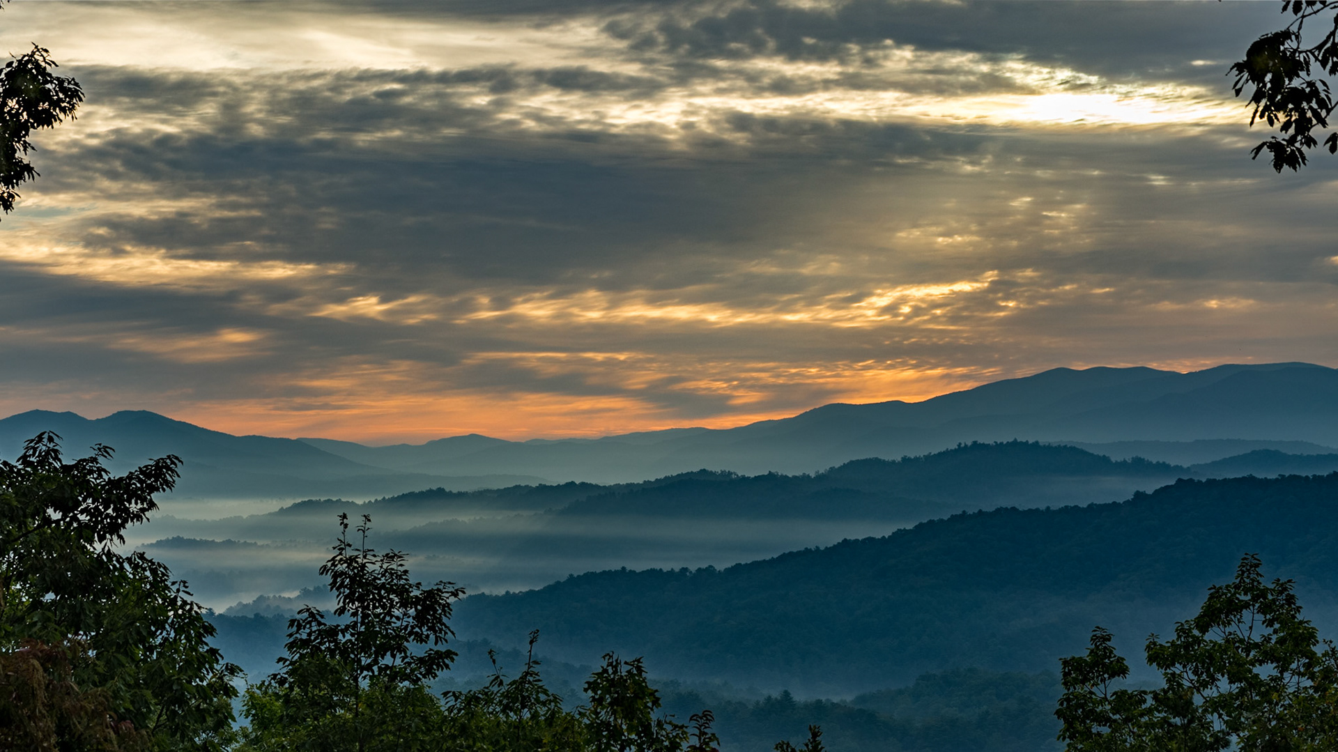
Winter on New Found Gap Trail
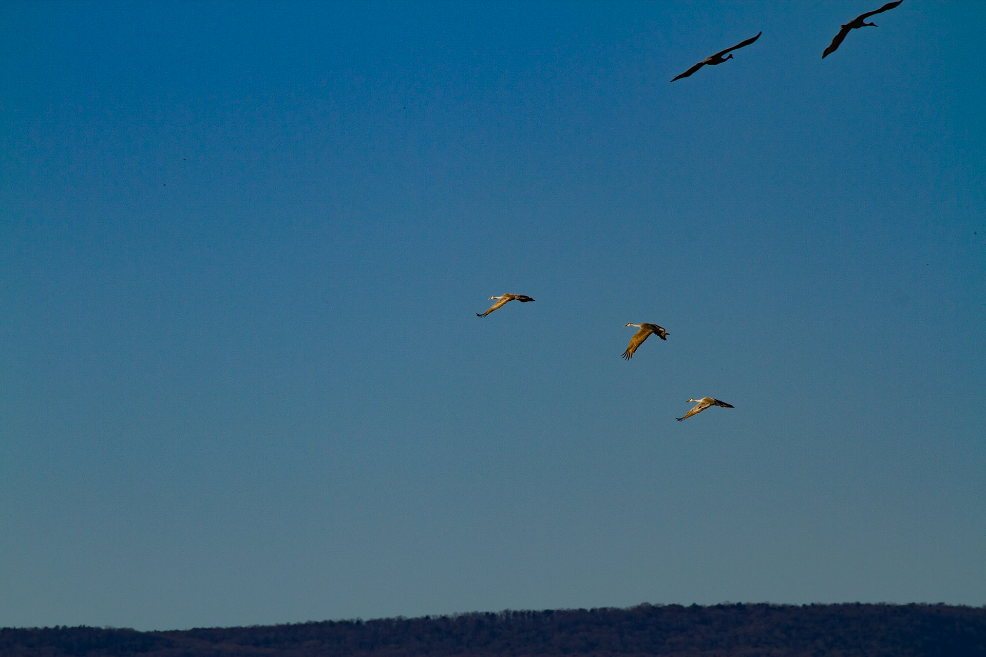
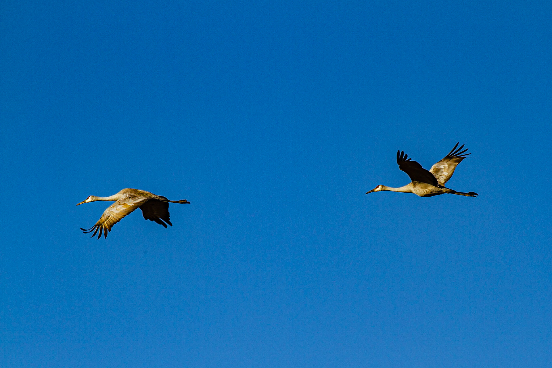
These guys stand 3 to 4 feet tall and have wing spans of 6 feet.
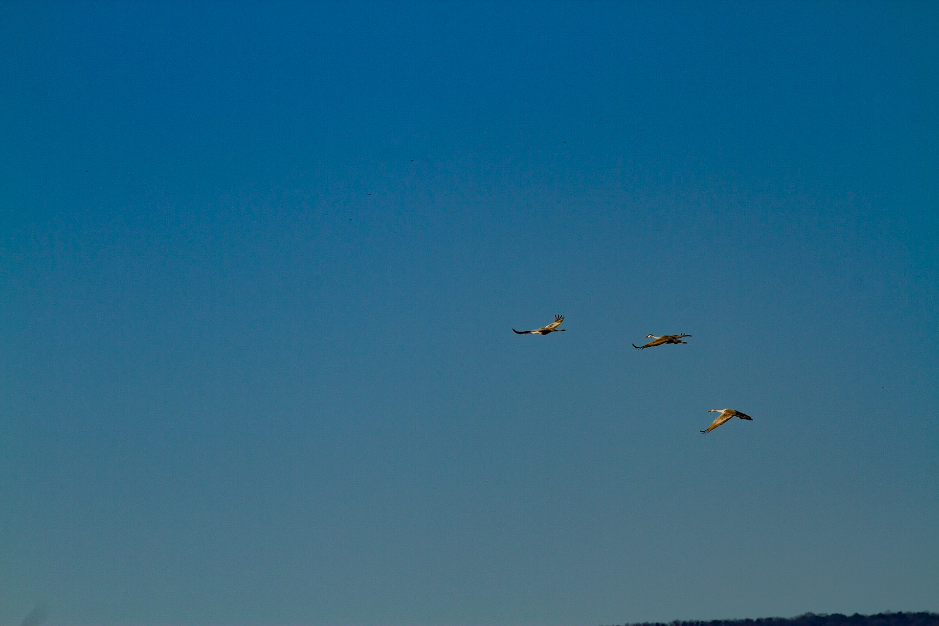
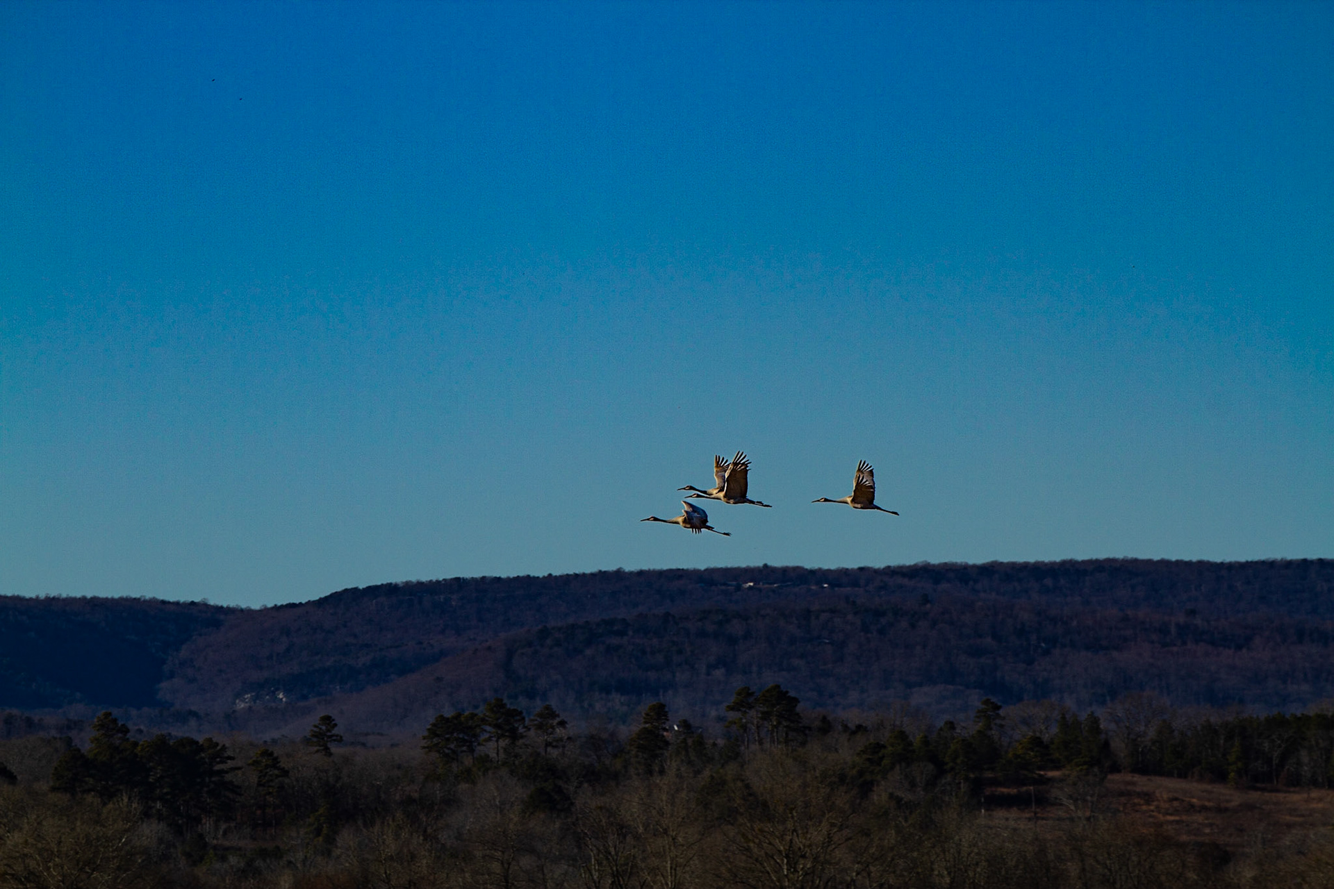
These guys stand 3 to 4 feet tall and have wing spans of 6 feet.
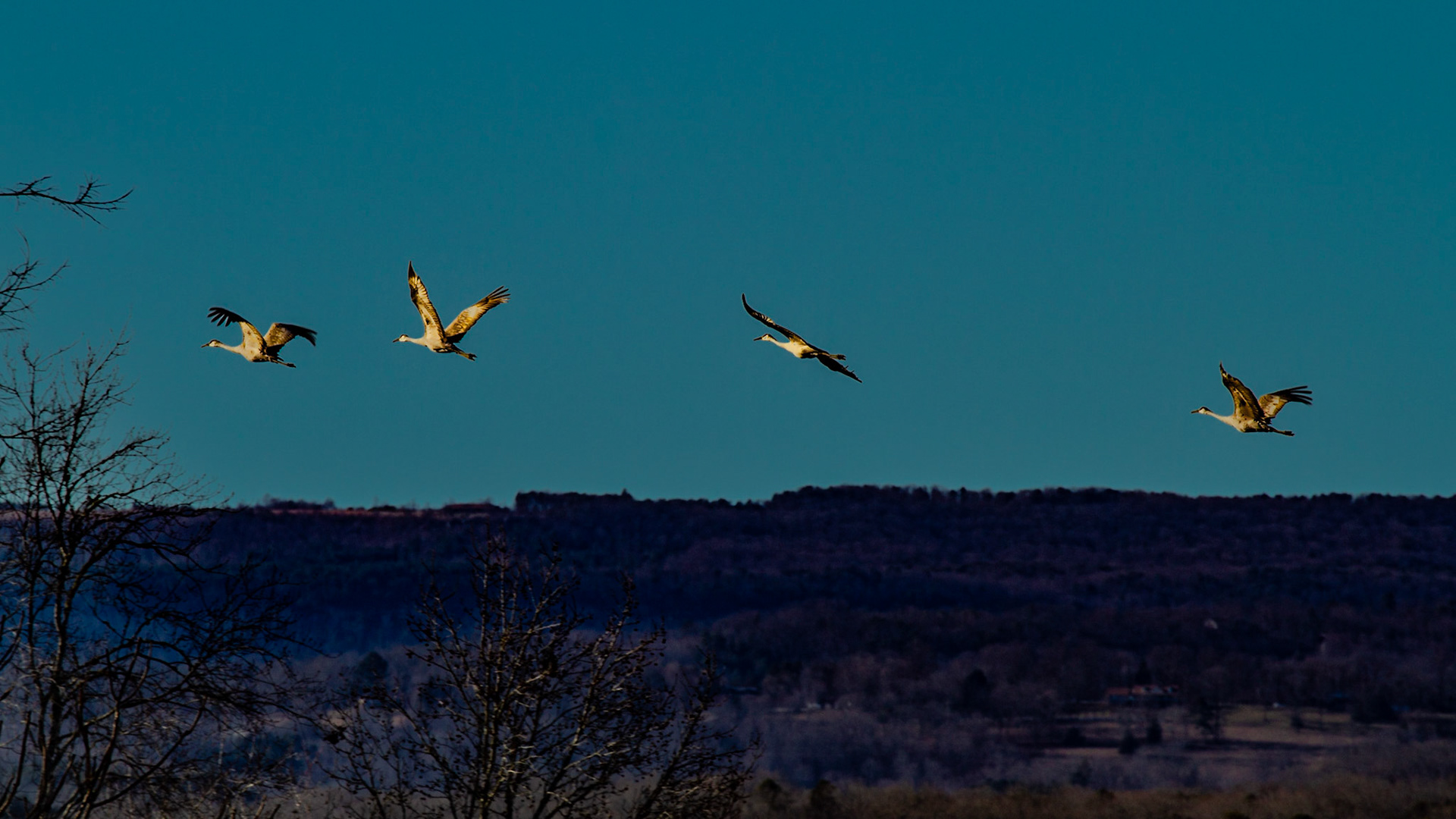
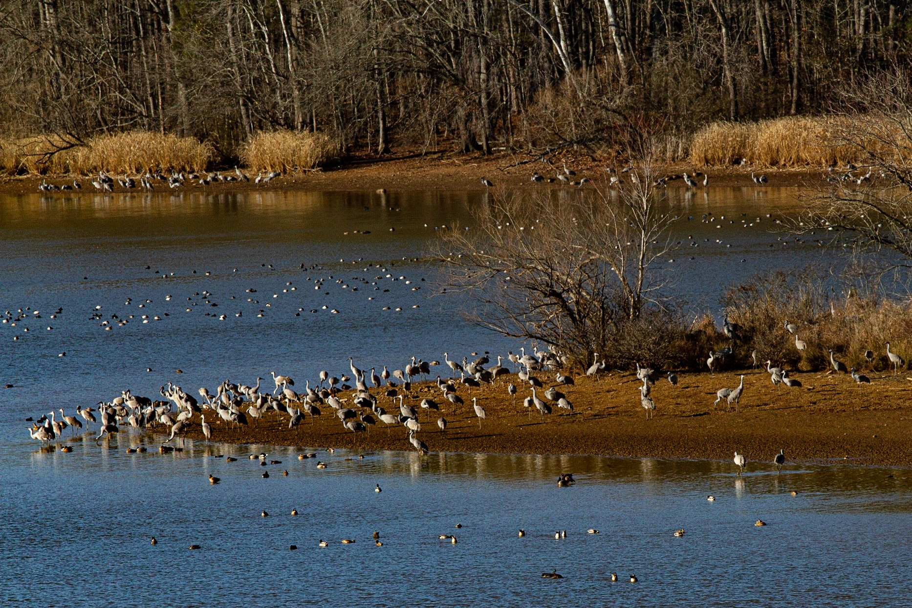
These guys stand 3 to 4 feet tall and have wing spans of 6 feet.
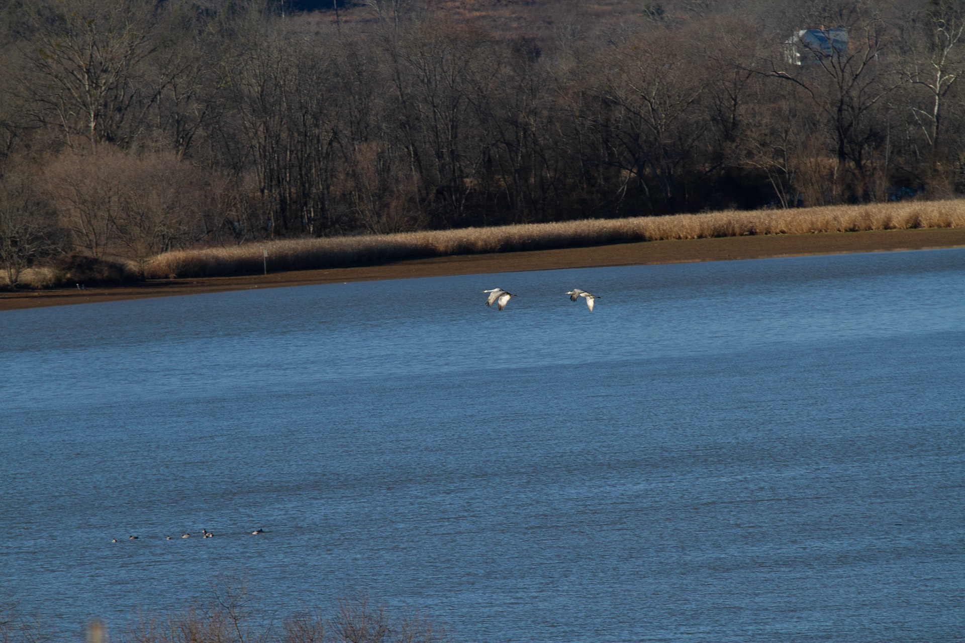
These guys stand 3 to 4 feet tall and have wing spans of 6 feet.
These guys stand 3 to 4 feet tall and have wing spans of 6 feet.
These guys stand 3 to 4 feet tall and have wing spans of 6 feet.
These guys stand 3 to 4 feet tall and have wing spans of 6 feet.
These guys stand 3 to 4 feet tall and have wing spans of 6 feet.
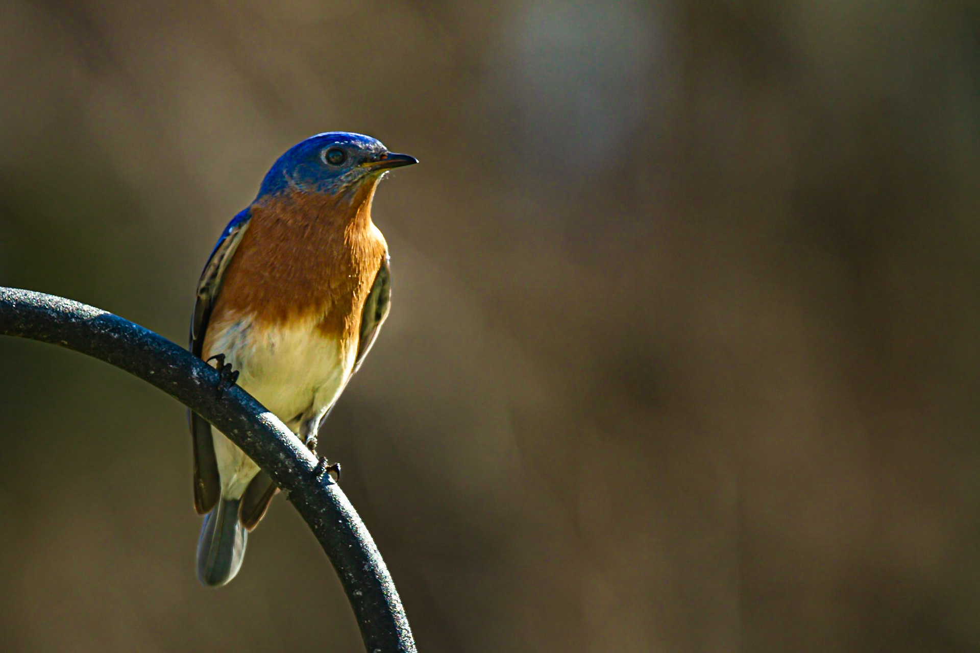
Back Yard Bluebird
January 28, 202135°50'59.1506" N 84°12'8.281" W
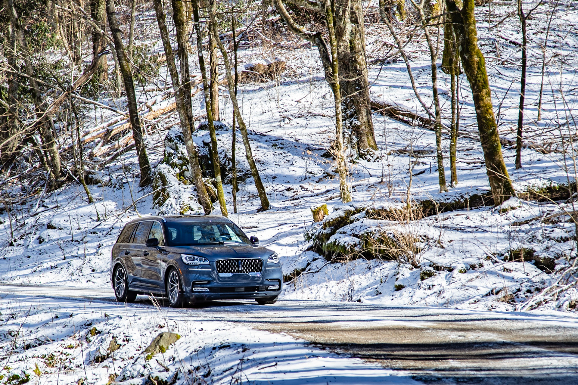
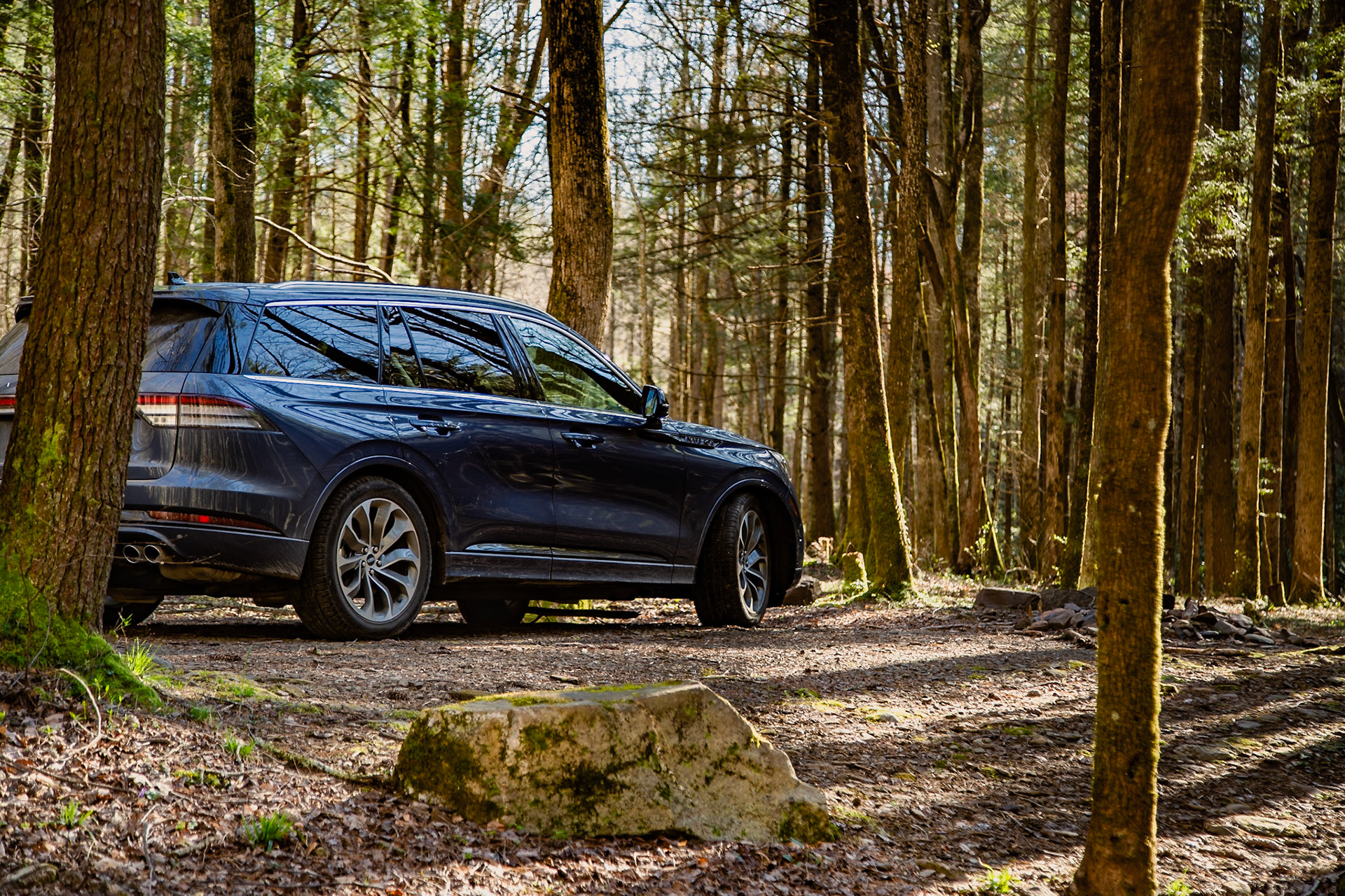
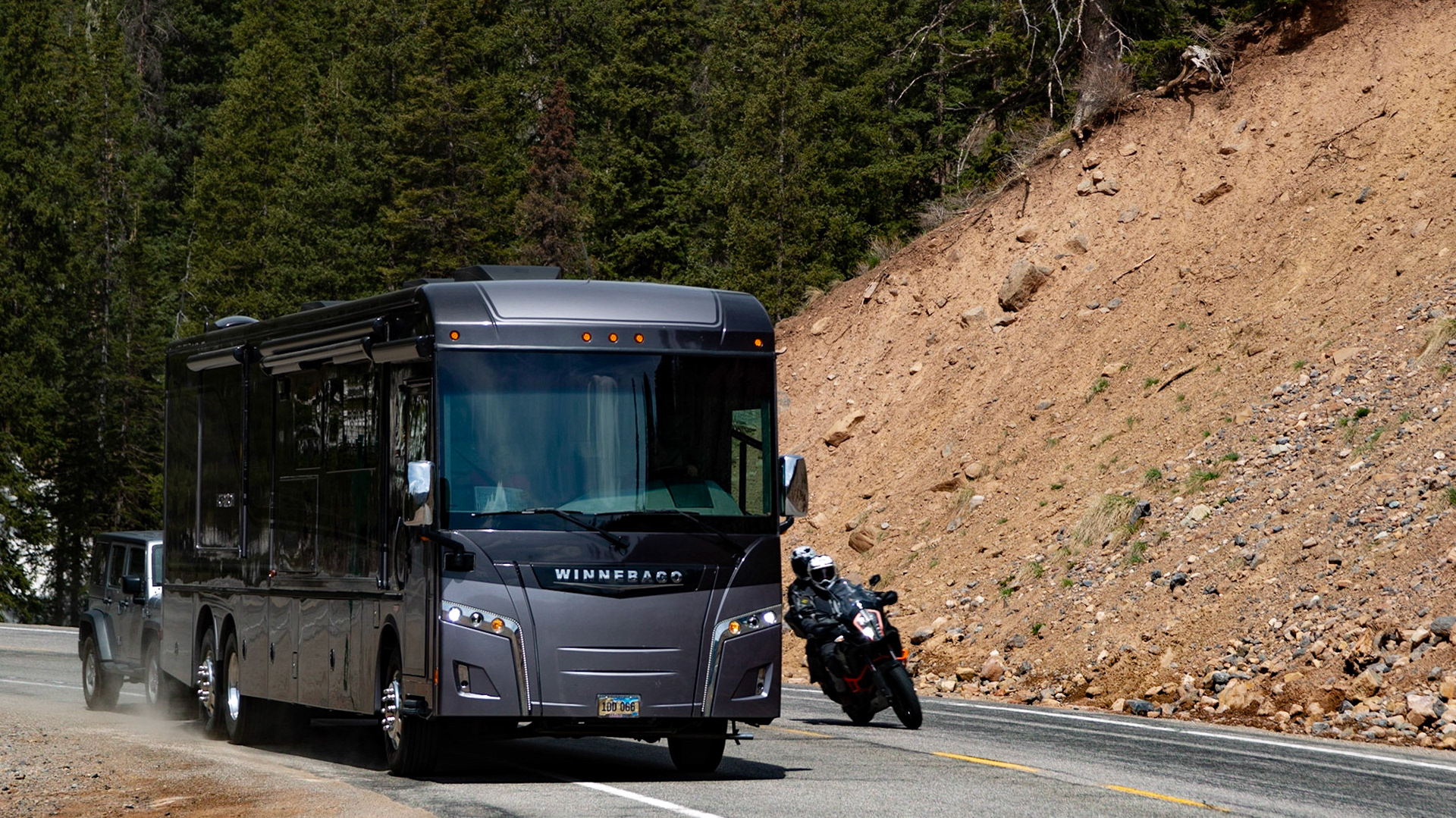
Adventure with Lincoln Aviator in Cherokee National Forest
Lincoln Aviator in Cherokee National Forest
North River Road 35°19'15.7524" N 84°5'23.026" W
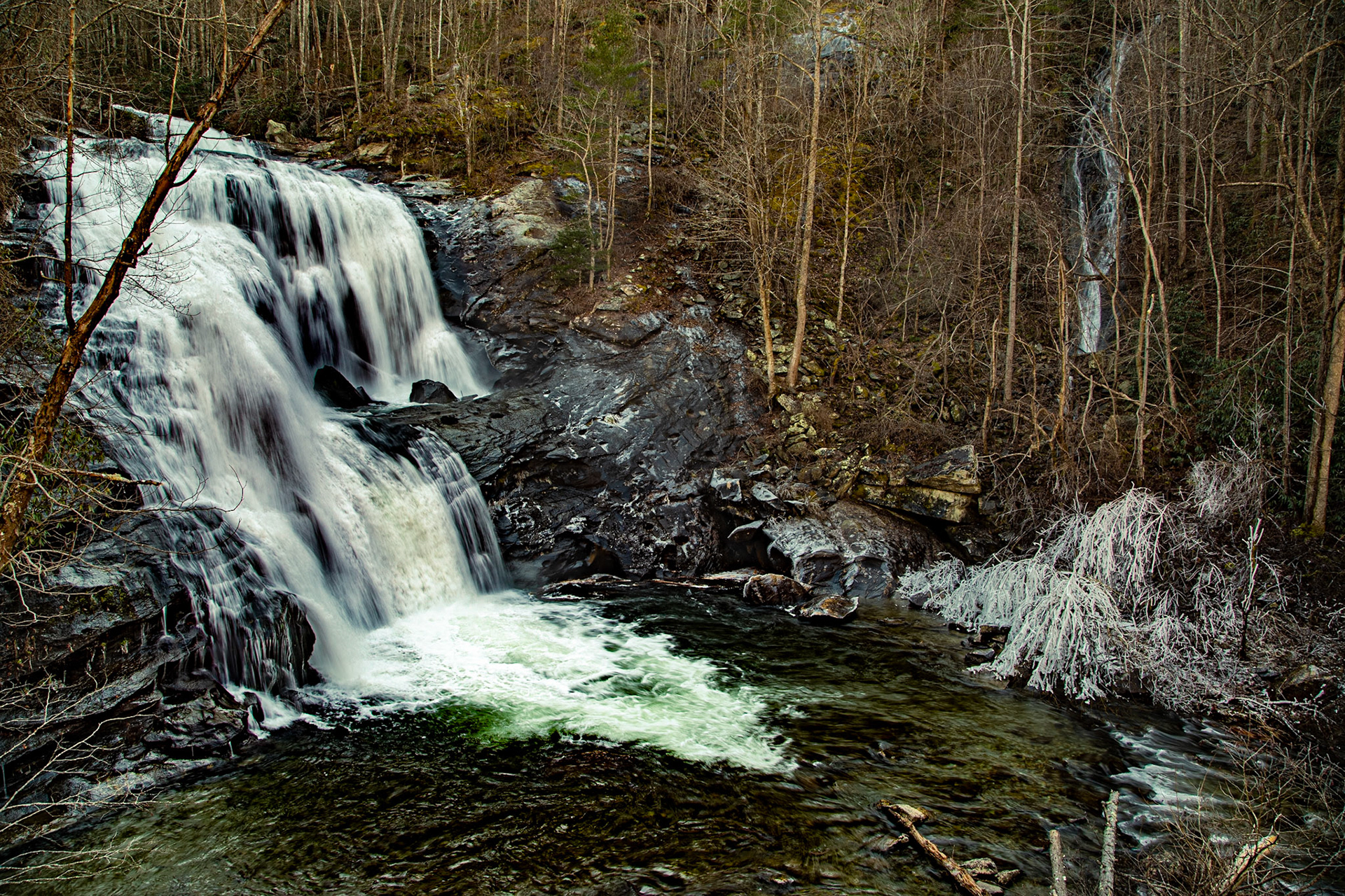
Bald River Falls
I have been in many country stores, including this one. When I saw it this time, after 40 or 50 years since the last time I was on this road, I was touched. Other than being closed, it seemed as I saw it when I roamed these country roads of my youth. In February 2018, my grandson (17-year-old city guy) and I came across an authentic and operating country store, on our way to Max Patch. I had to show him inside. I’m not sure he understood it the way I did.
Many people visit the Primitive Baptist Church in Cades Cove of Great Smoky Mountain National Park and walk through the cemetery there. I sense most wouldn’t have reason to know how many churches look similar, with cemeteries, inscriptions and dates.
Country roads are wonderful. This one, in Chuck Swan Wildlife Management Area, reminds me of many in the community of my youth. Nevertheless, they still remind me of “Country Road” by James Taylor. “I guess my feet know where they want me to goWalking on a country road, yeahTake to the highway, won't you lend me your name?”
Morton Road, Lenoir City
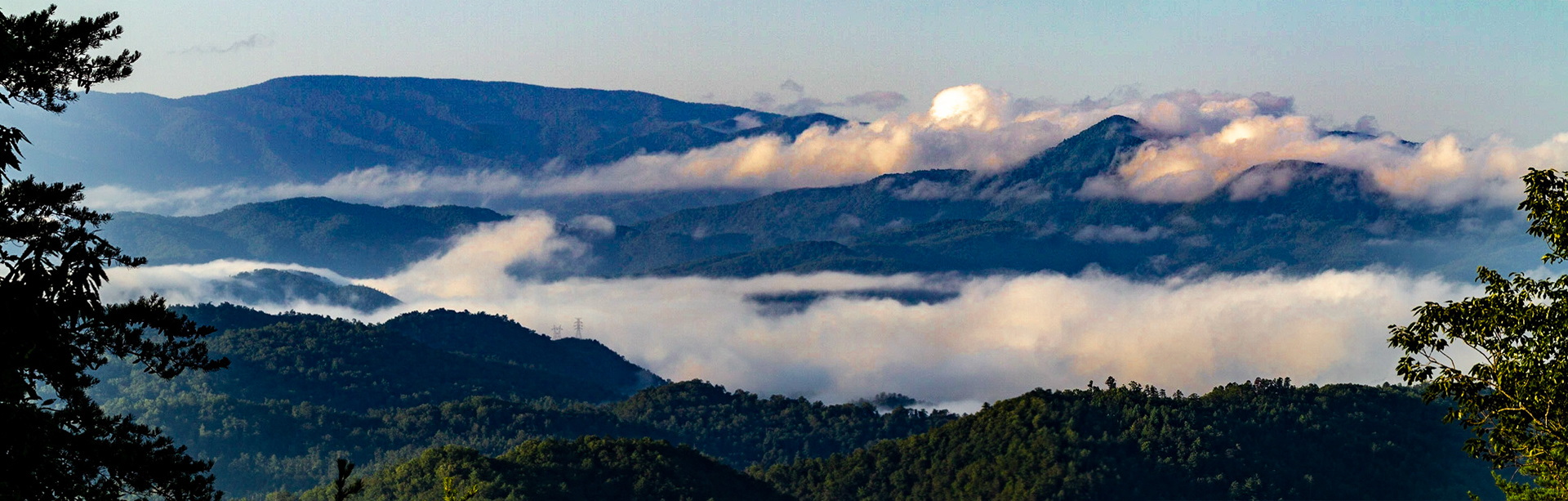
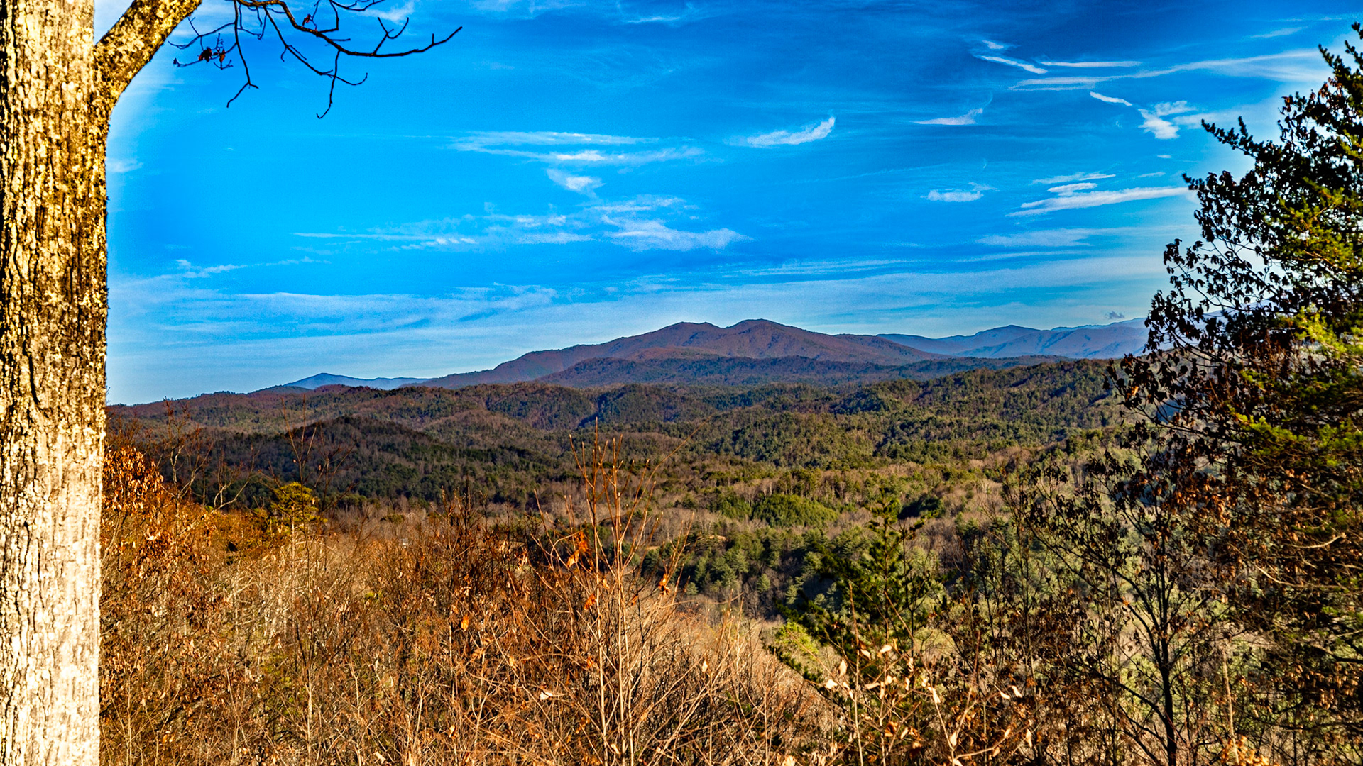
Foothills Parkway West Overlook #1
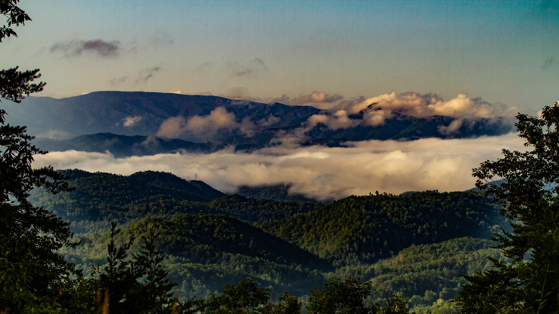
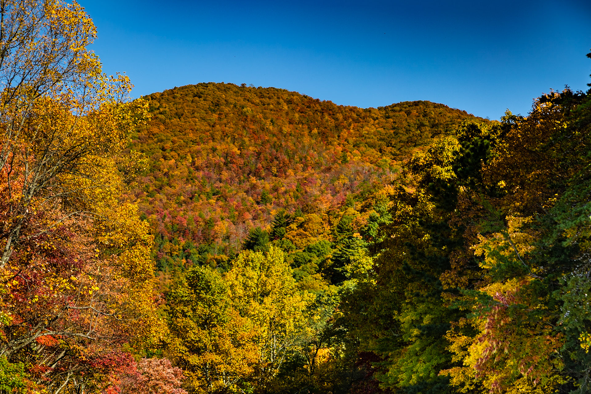
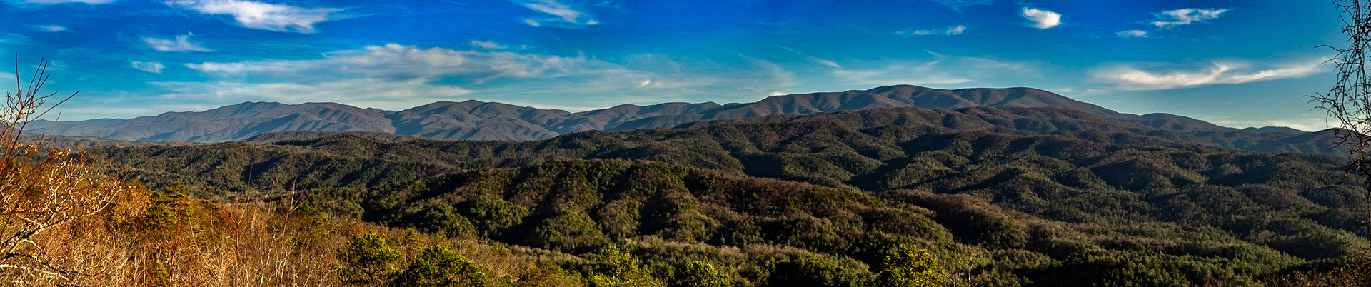
Rich Mountain from Foothills Parkway Parking @2
Rich Mountain from Foothills Parkway Parking #2
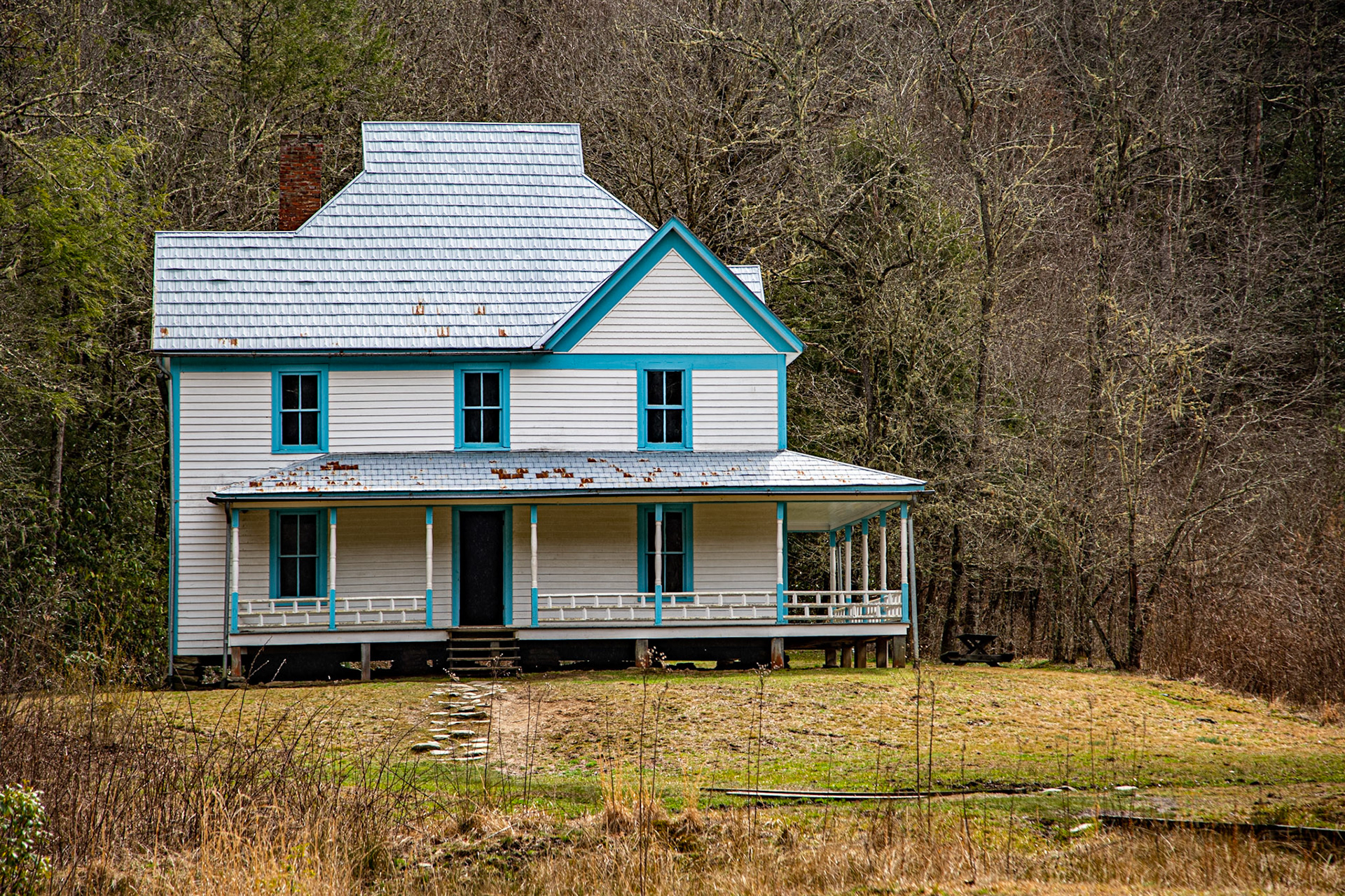
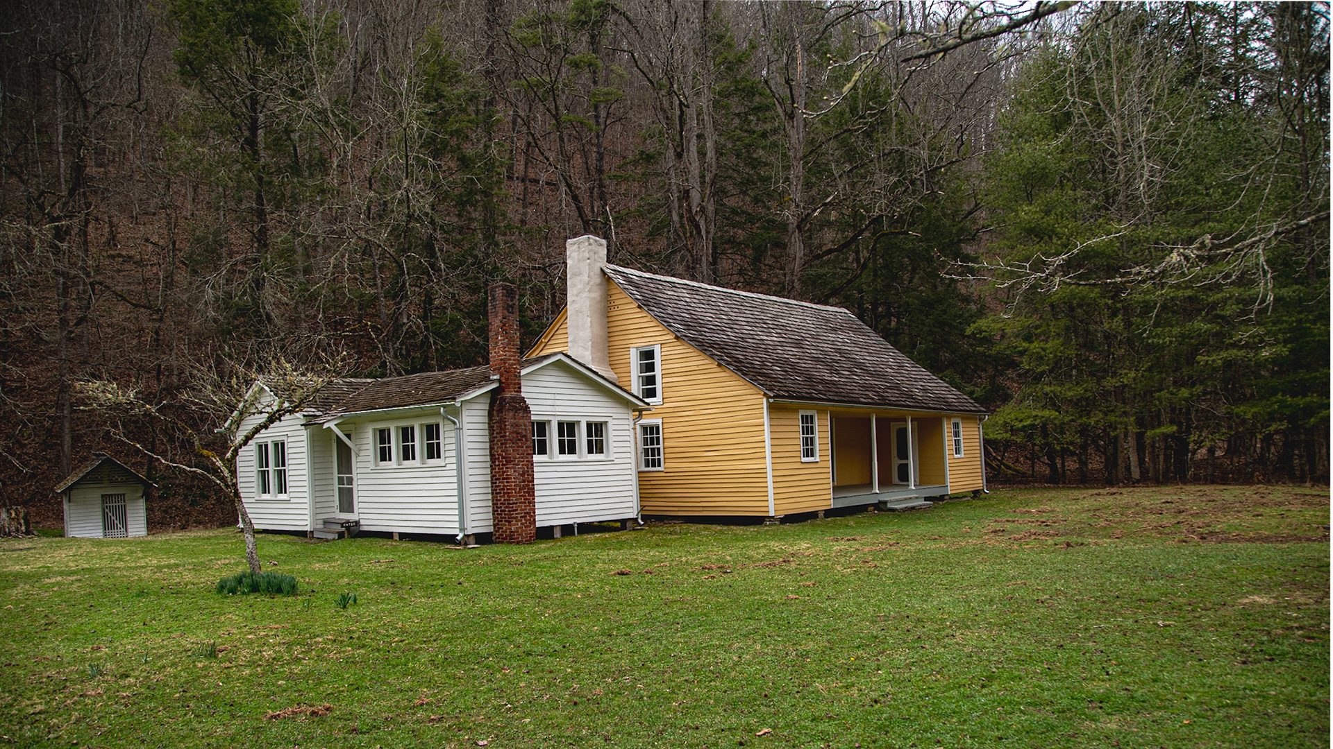
William & Mary Lewis Home Site
William & Mary Lewis Home Site
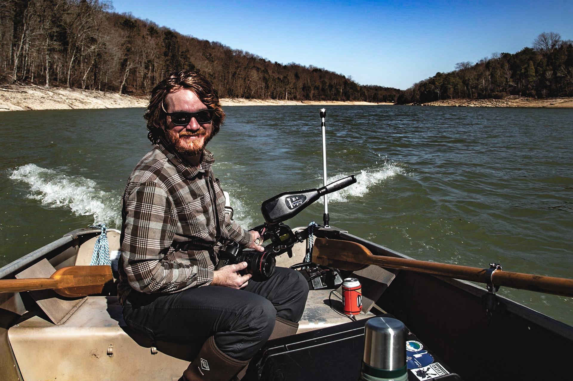
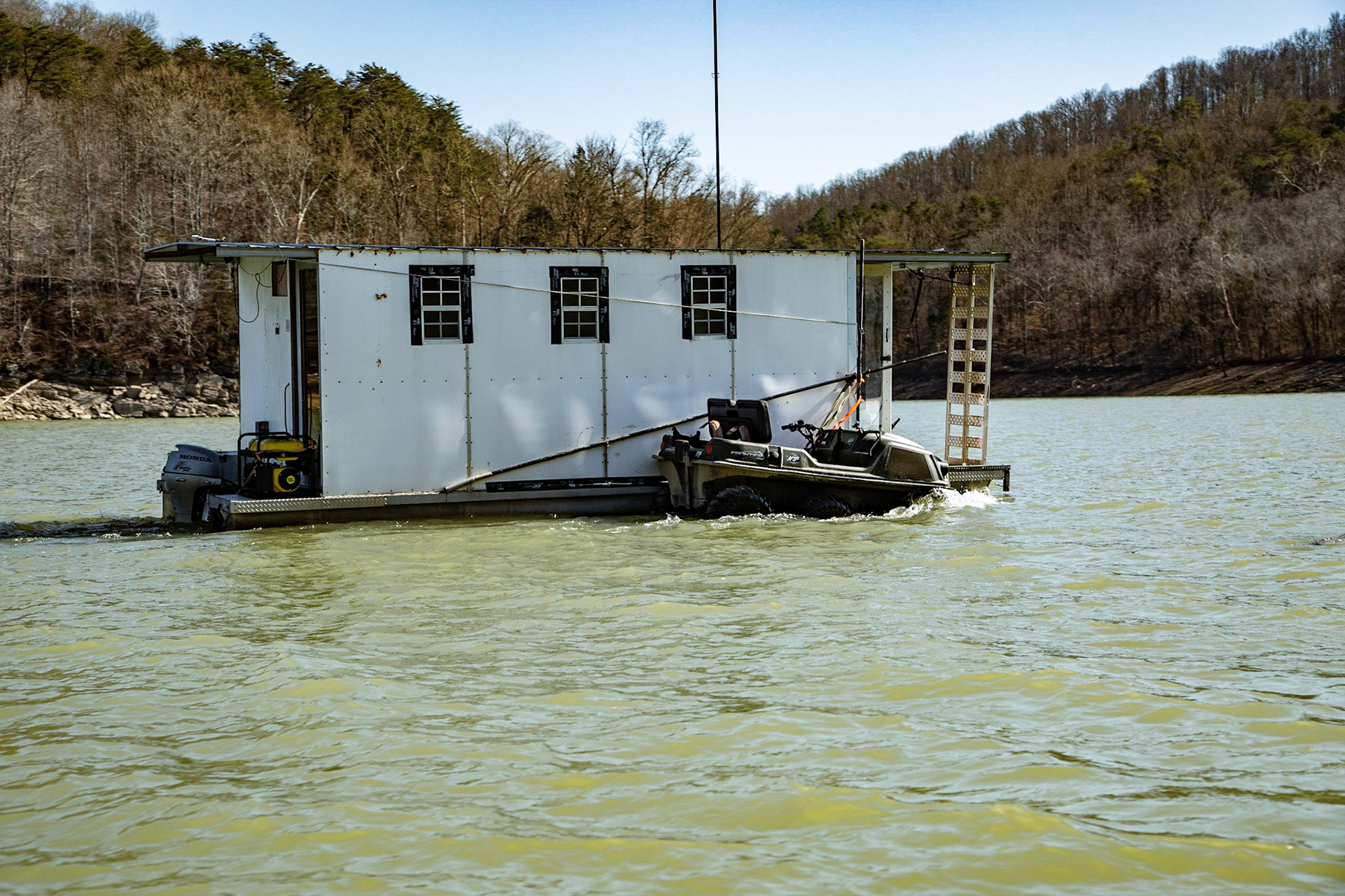
Mark Lewis and Mark Lewis - In the 1950s and 60s, I was in a simple boat like this many times, coming out of this Bear Creek branch of Norris Lake my Dad, the banker Mark Lewis. The Mark Lewis in the picture is my son. When I was very young, Dad drove, as this Mark Lewis is driving here. With Dad, we were fishing, which very often included some time in the Lone Bottom cove where he grew up - before Norris Lake (1903 until he moved to New Tazewell). This trip was for the purpose of visiting that cove. Son, Mark Lewis, brought good food and took good care of me. Dad didn’t have anything like this fancy trolling motor. However, this Mark’s main motor is pretty much a modern version of the motor Dad had. Parrot Heads know two quotes that belong here. “Go fast enough to get there; But slow enough to see. Moderation seems to be the key.” & “Who gets to live like this?” I get to live like this, and I’m thankful. (36°21'15.966" N 83°40'1.956" W)
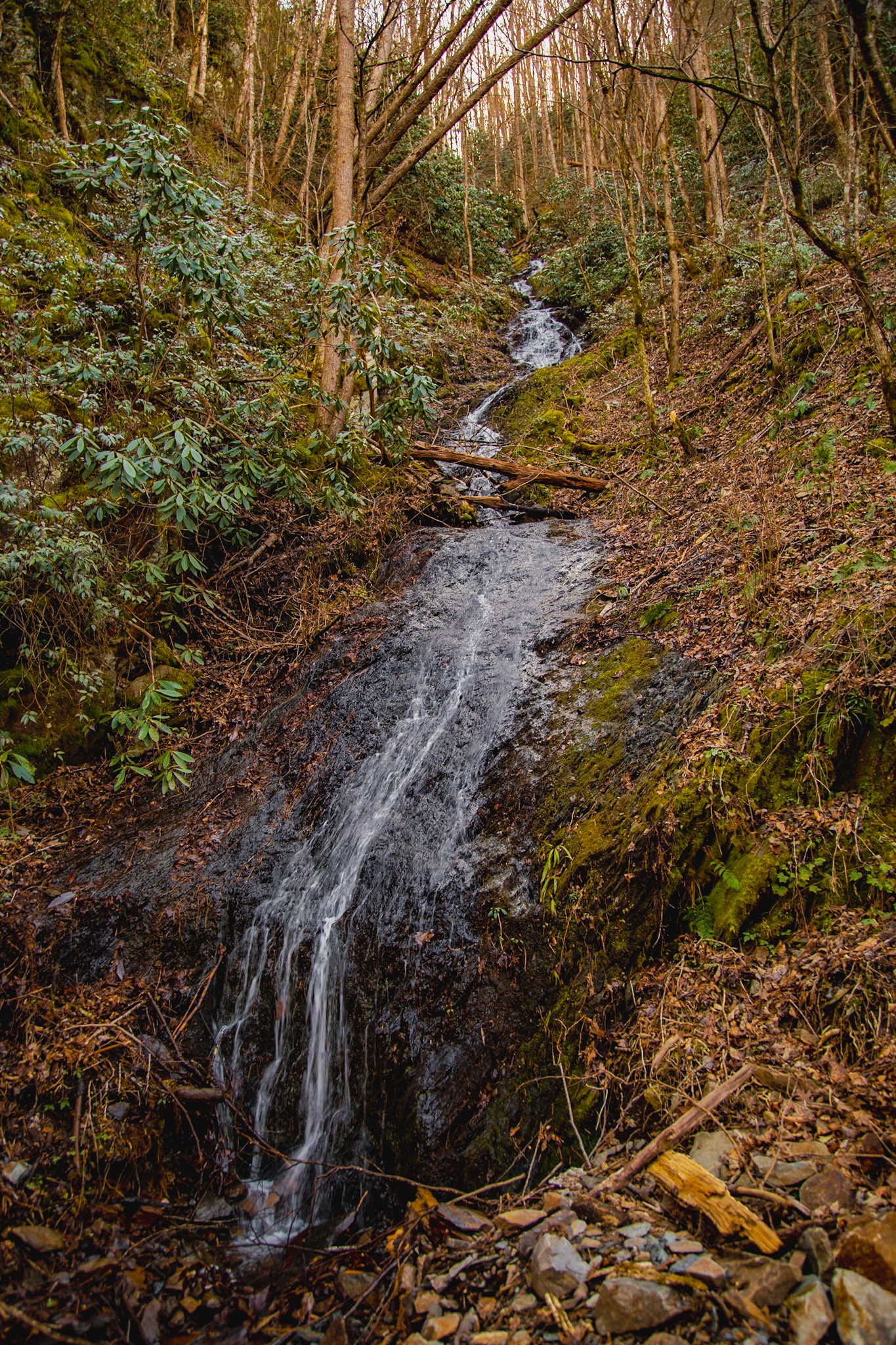
Rain Reveals Streams on Tremont Road
Rain Reveals Streams on Tremont Road
Rain Reveals Streams on Tremont Road
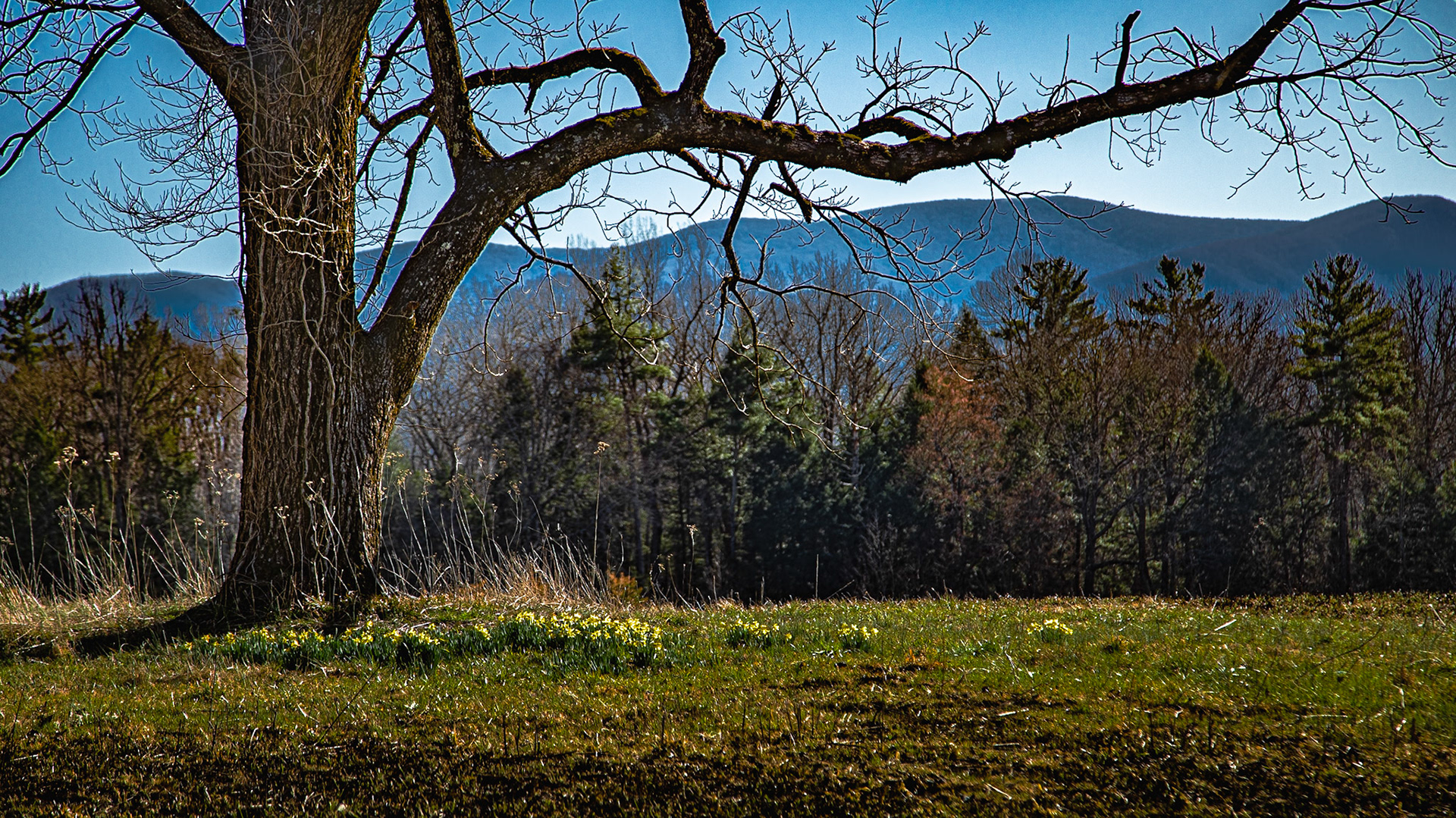
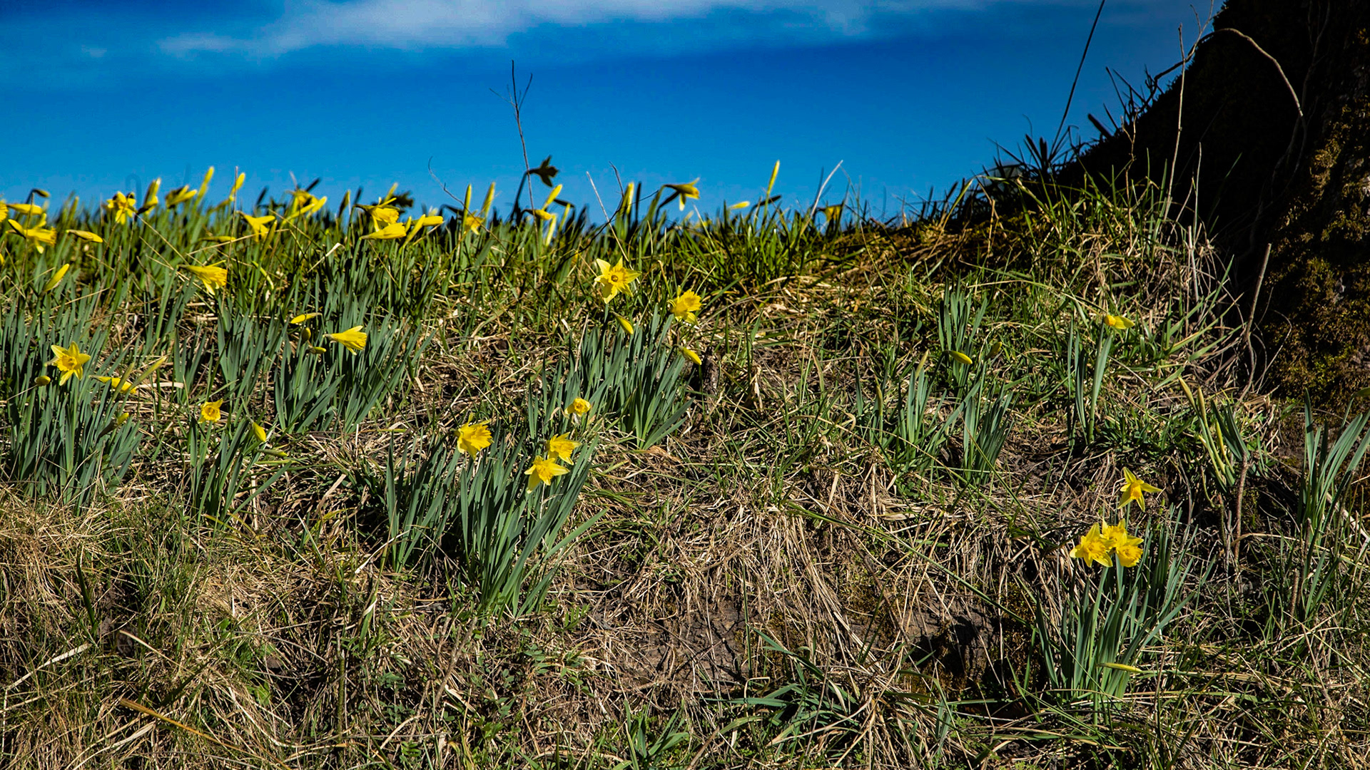
Daffodils in Cades Cove
Daffodils in Cades Cove
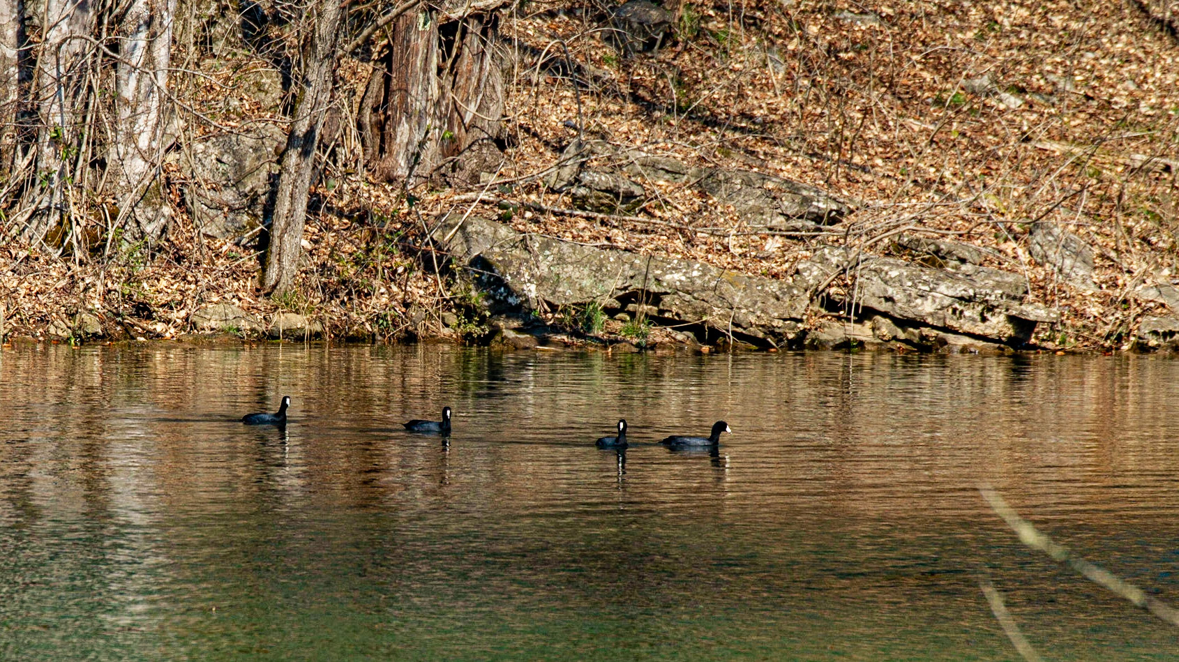
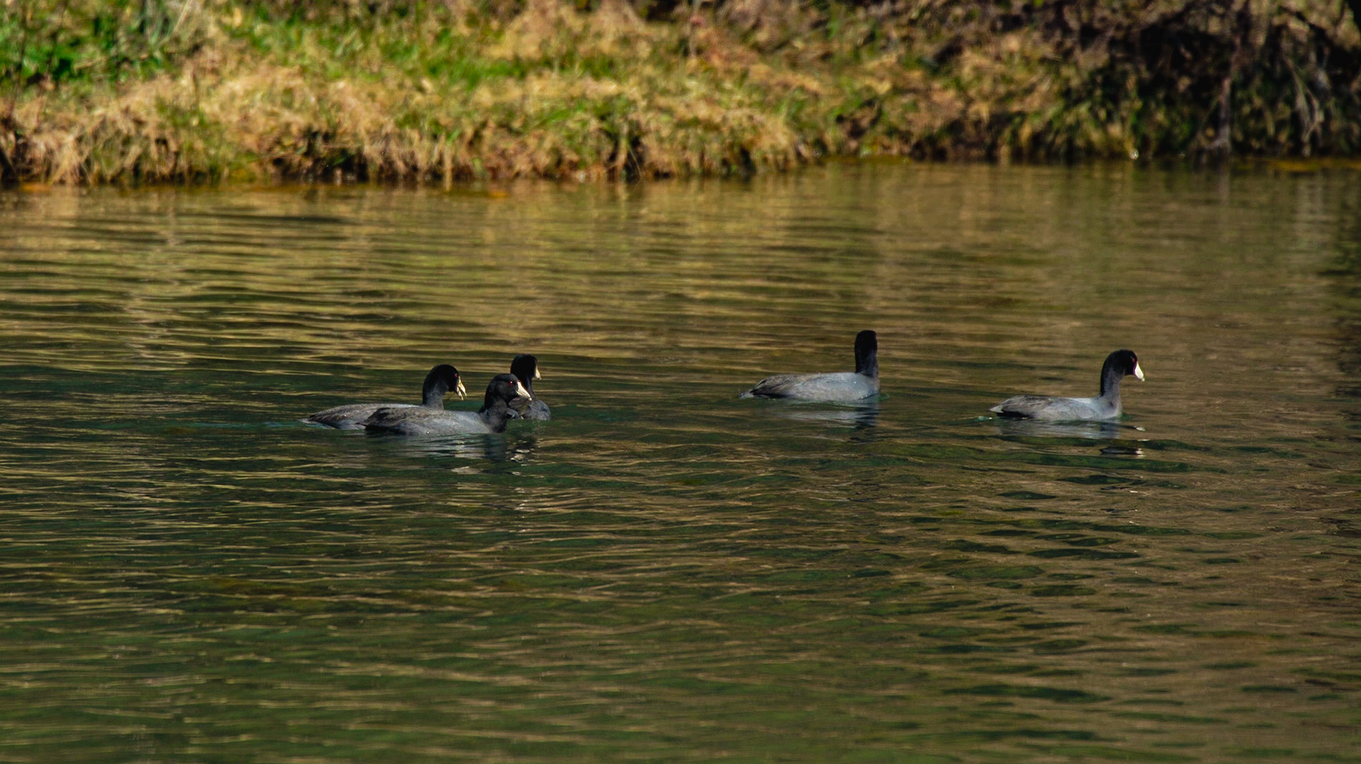
American Coot at Hicory Creek Park
American Coot at Hicory Creek Park
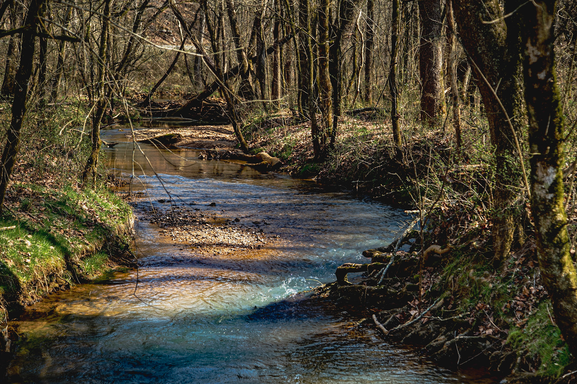
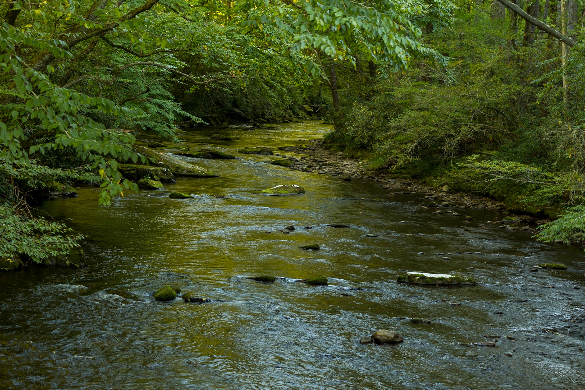
Connor Creek
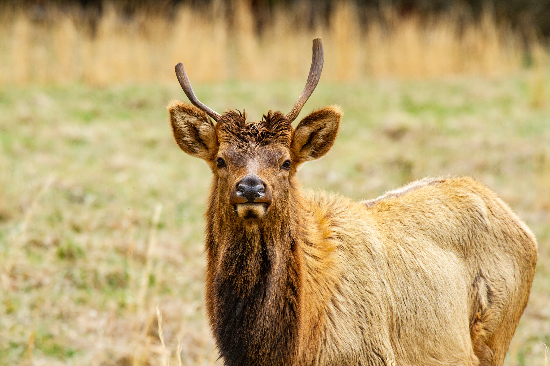
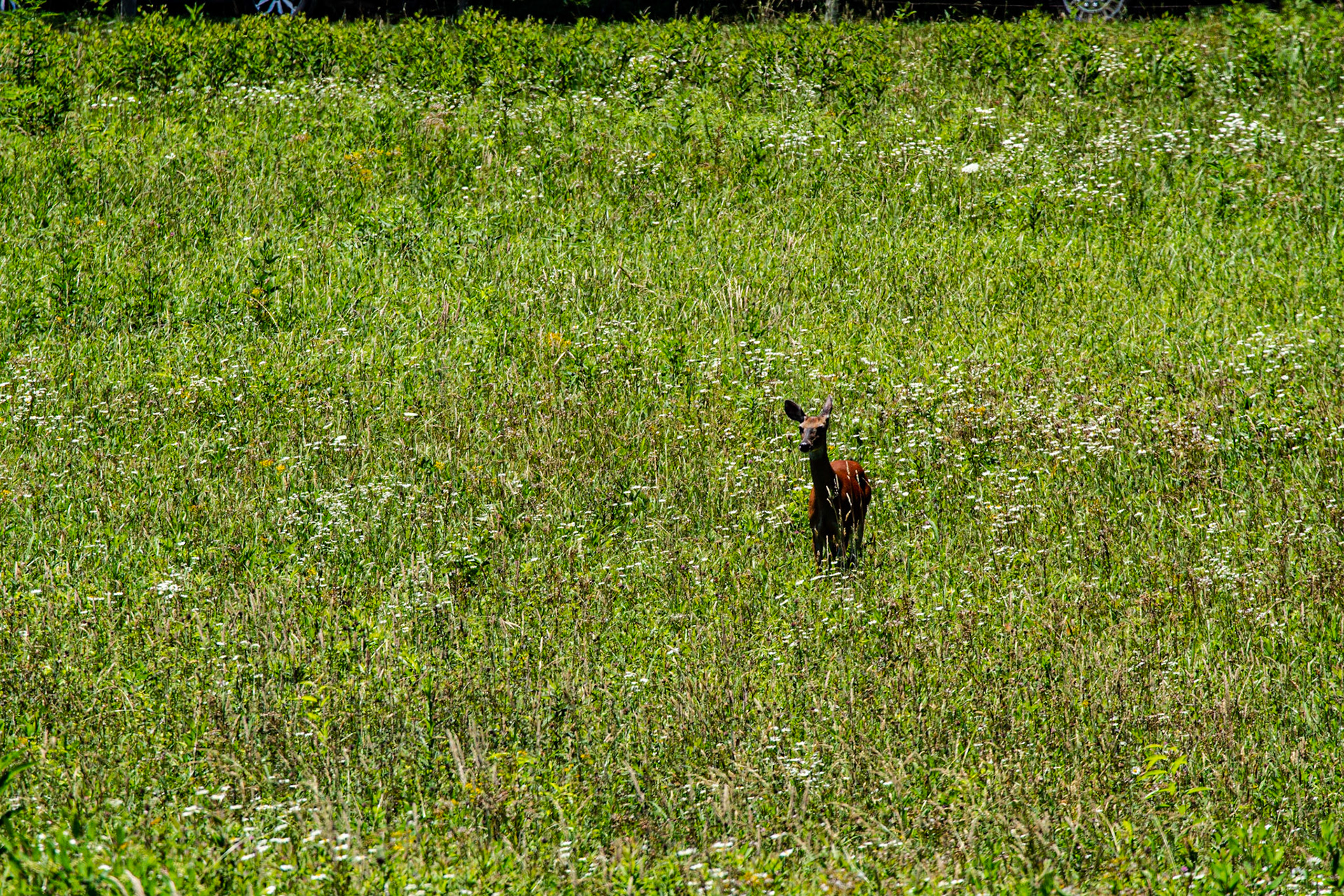
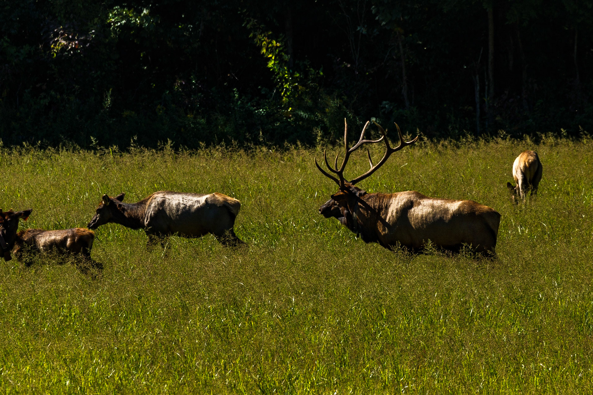
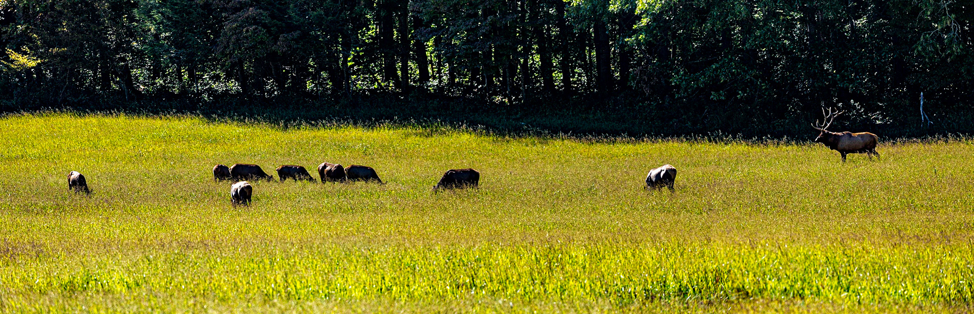
Elk in Cataloochee Valley
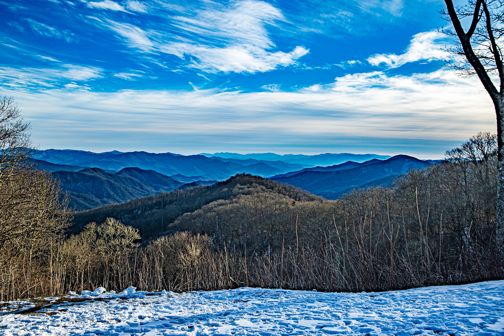
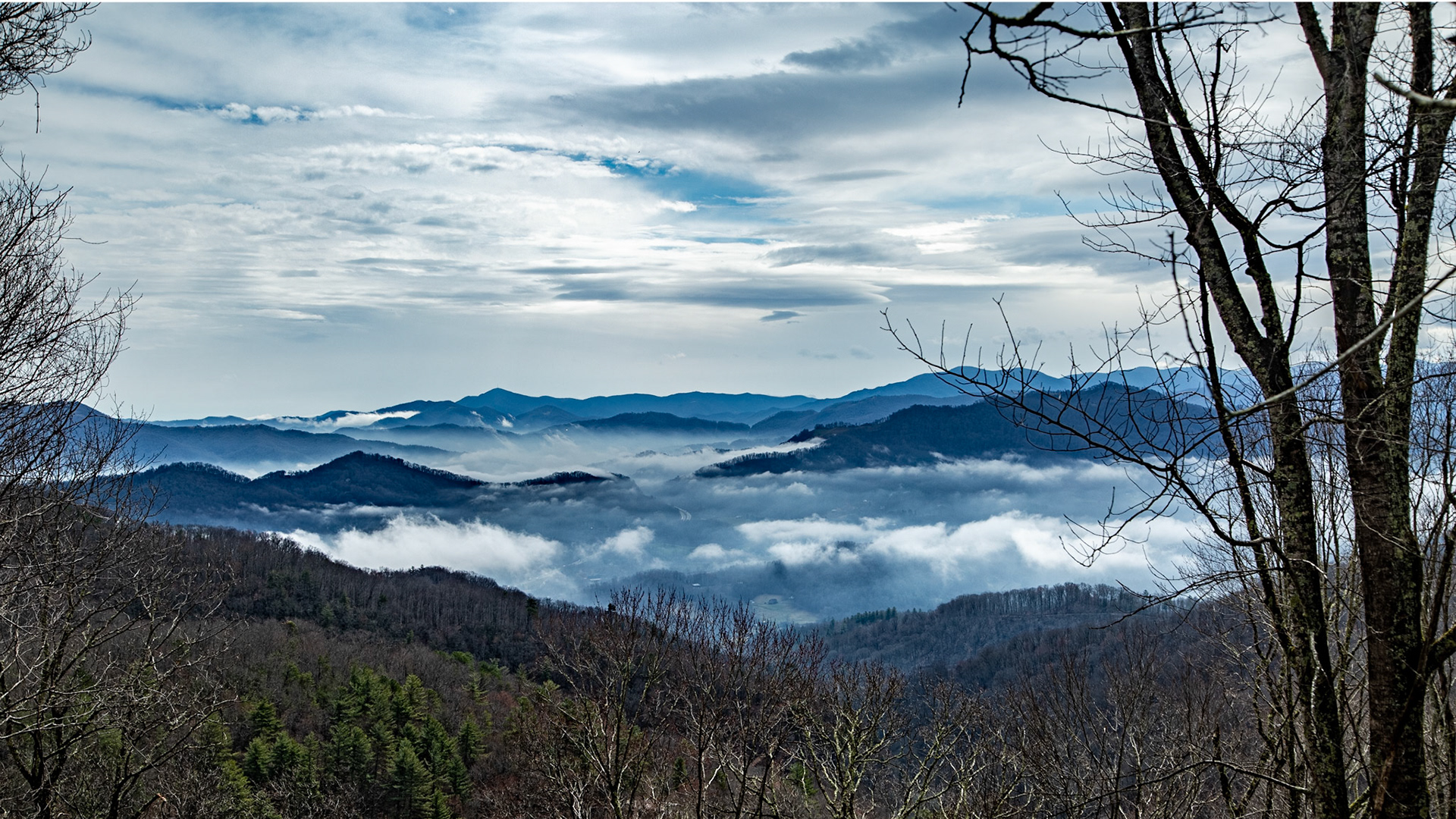
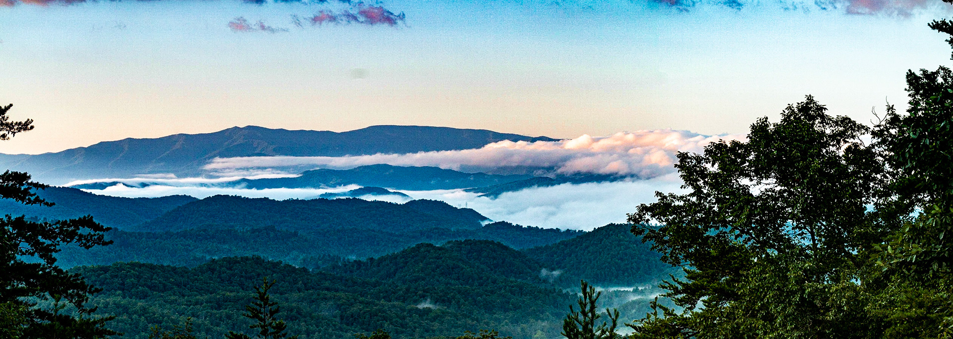
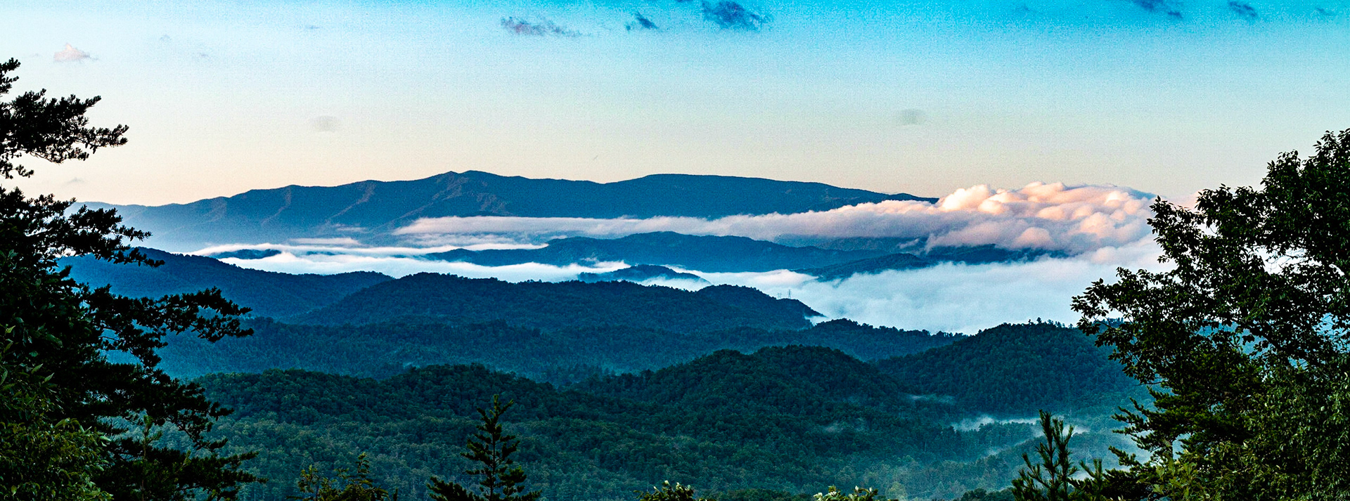
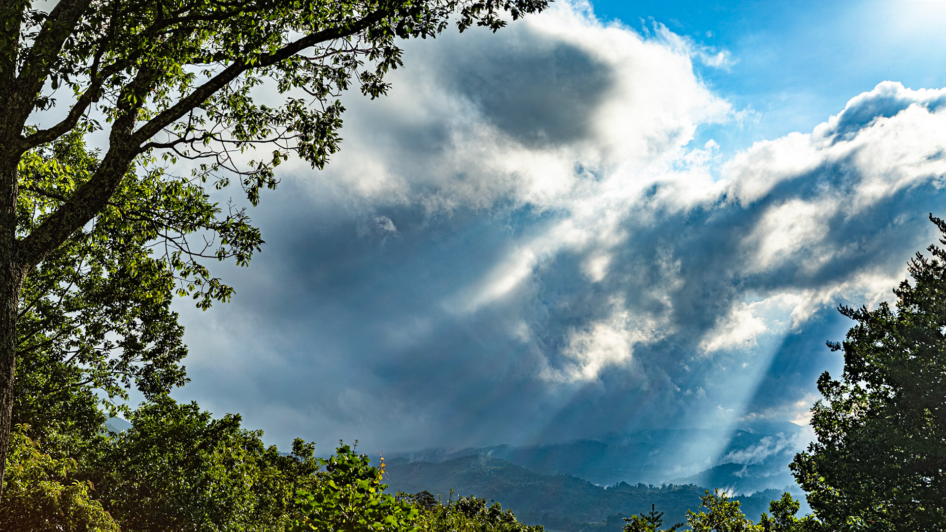
Fog and Mountains from Cove Creek Gap, North Carolina
Hiram & Elizabeth Caldwell House
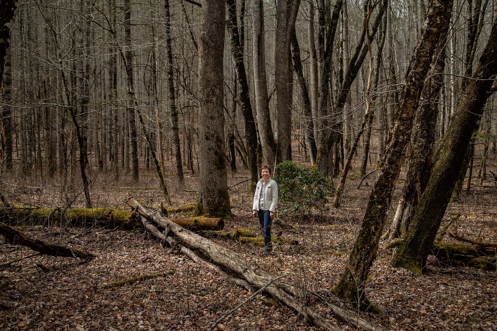
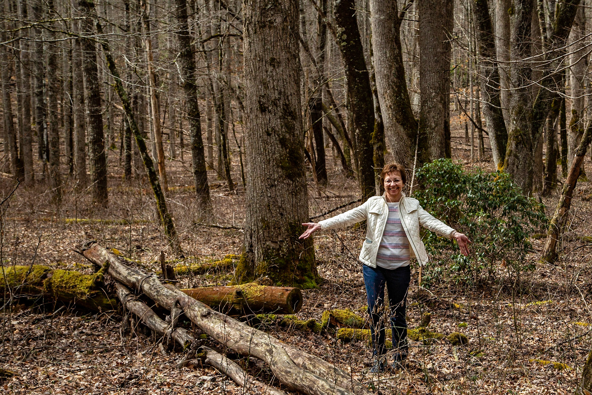
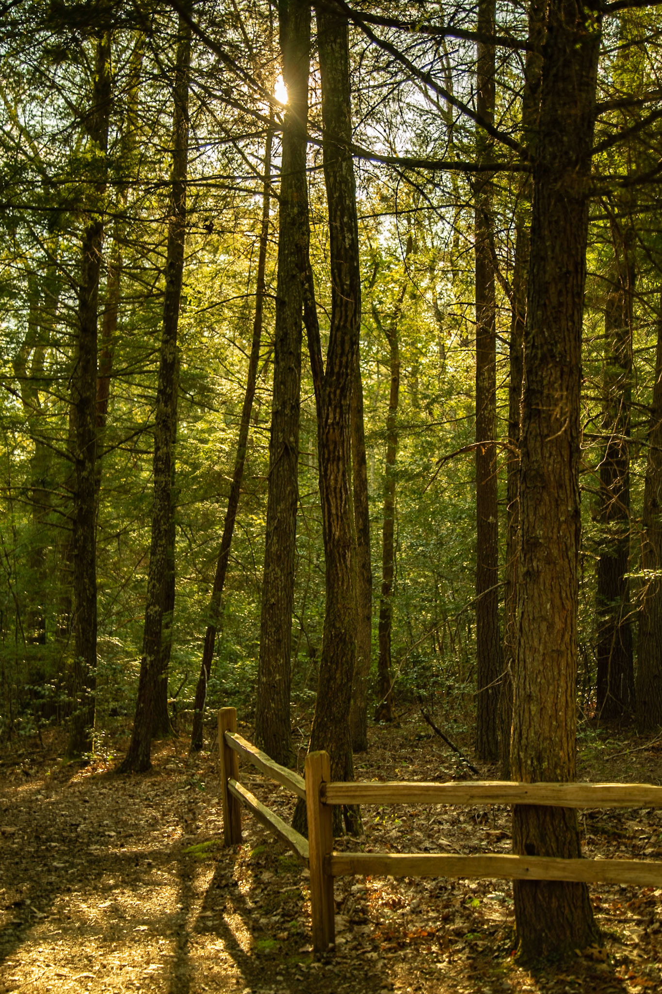
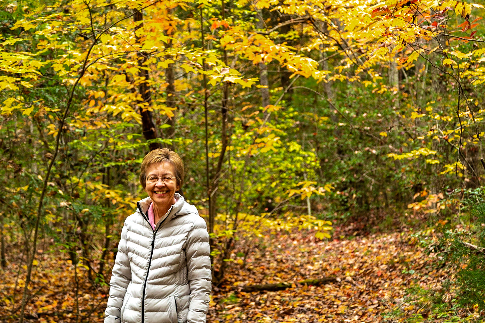
Christie on the Woody Place Trail
Christie on the Woody Place Trail
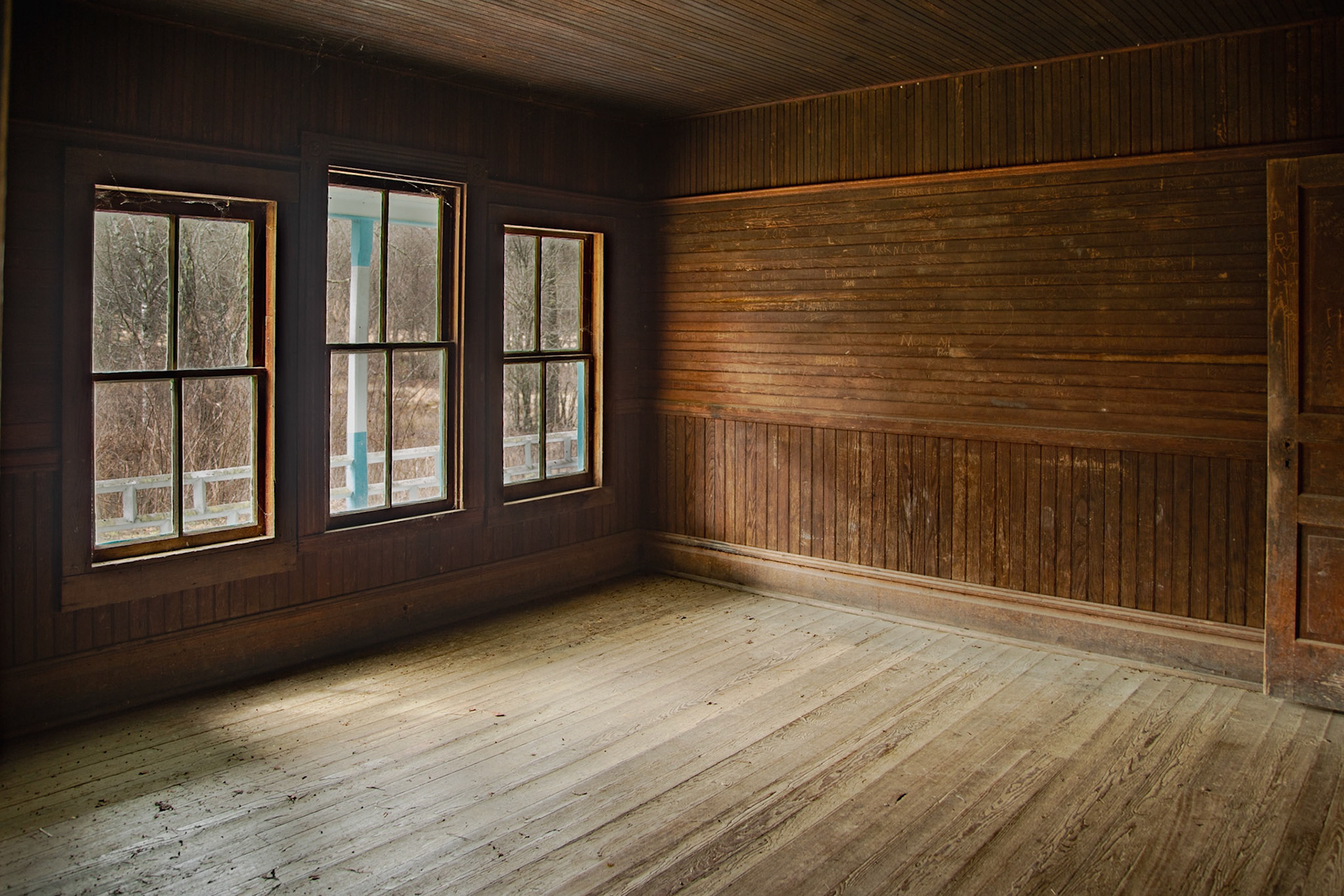
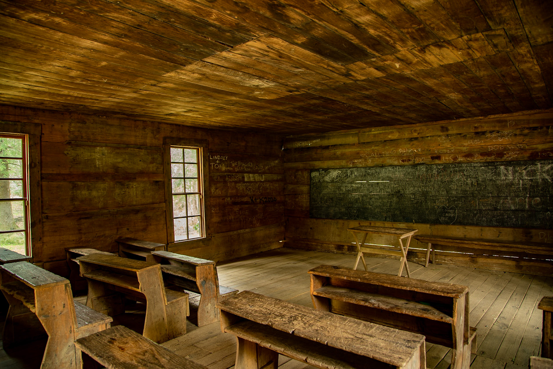
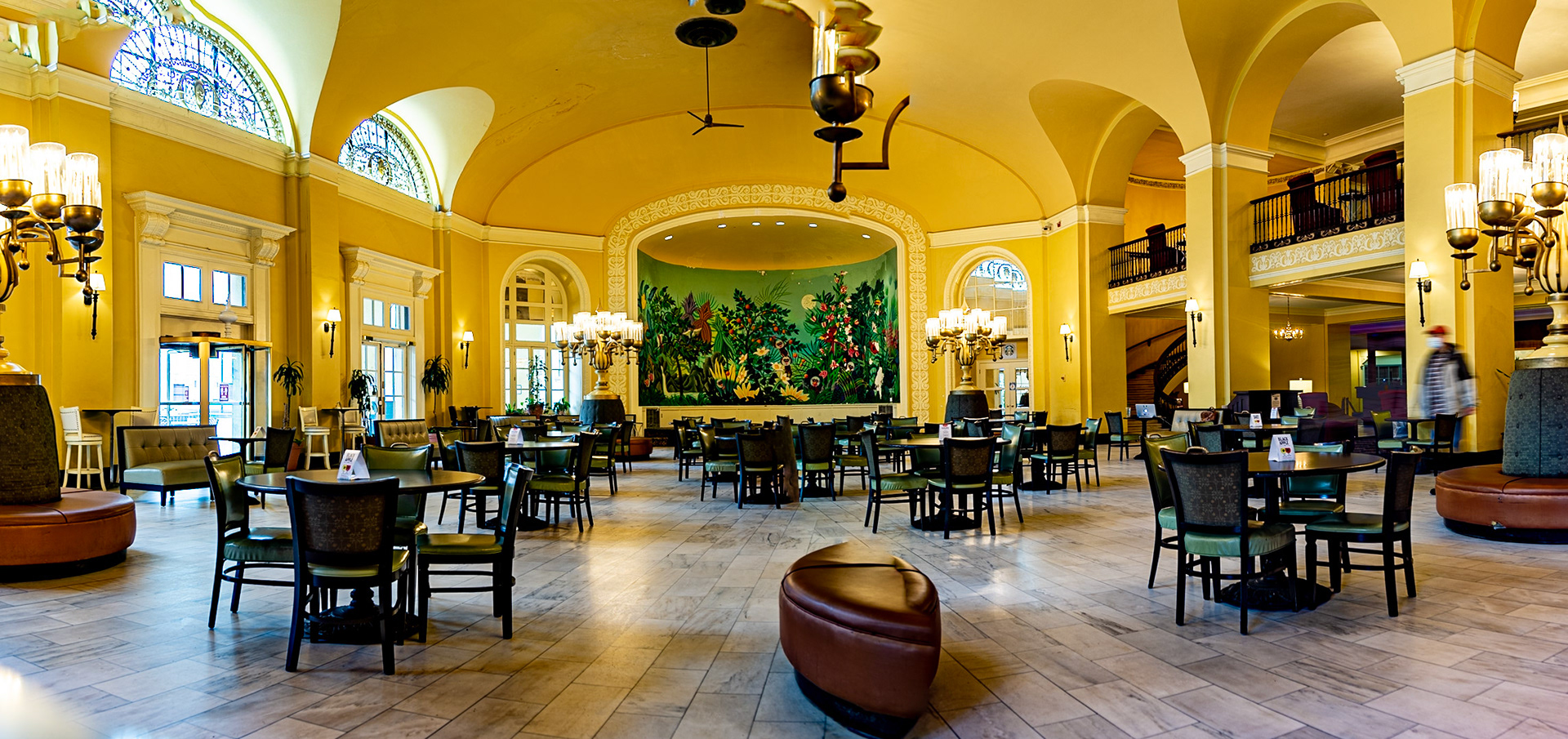
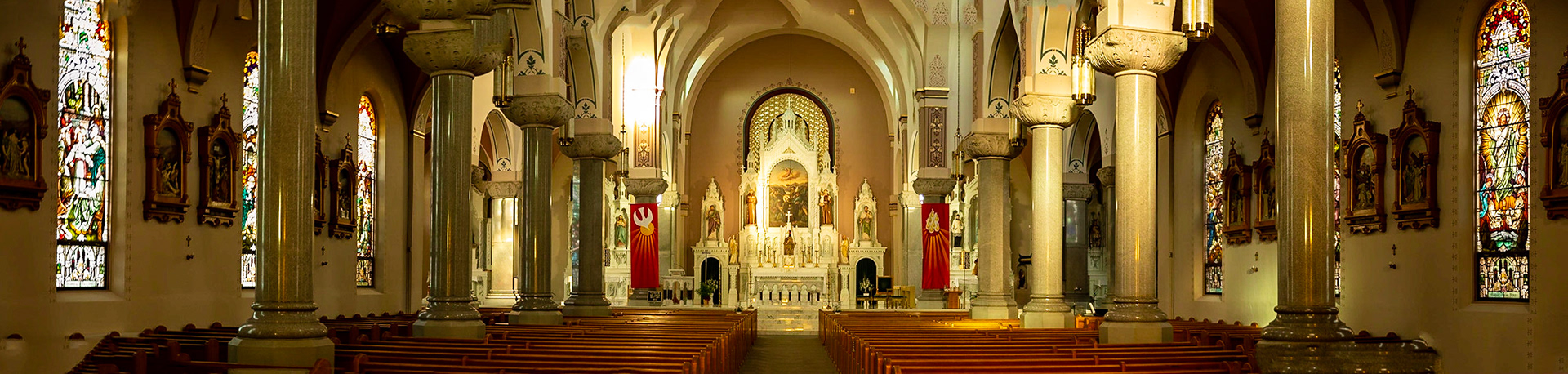
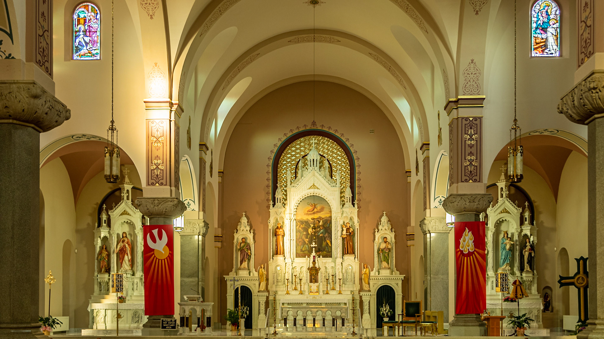
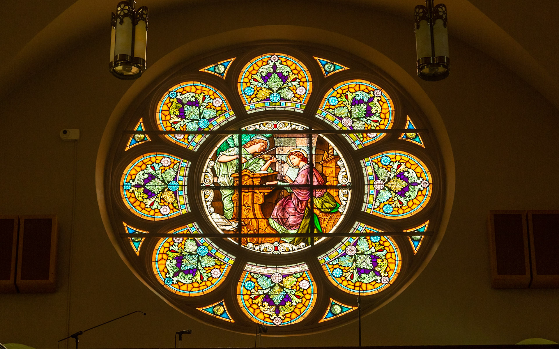
Several years ago, I shot this room, with several exposures for the room and windows. Editing was a pain, stacking layers to balance them into one well exposed image using Photoshop. This time, I captured three images with the HDR function in my Canon Mark II and merged those in Lightroom. It was a snap.
x as,, r
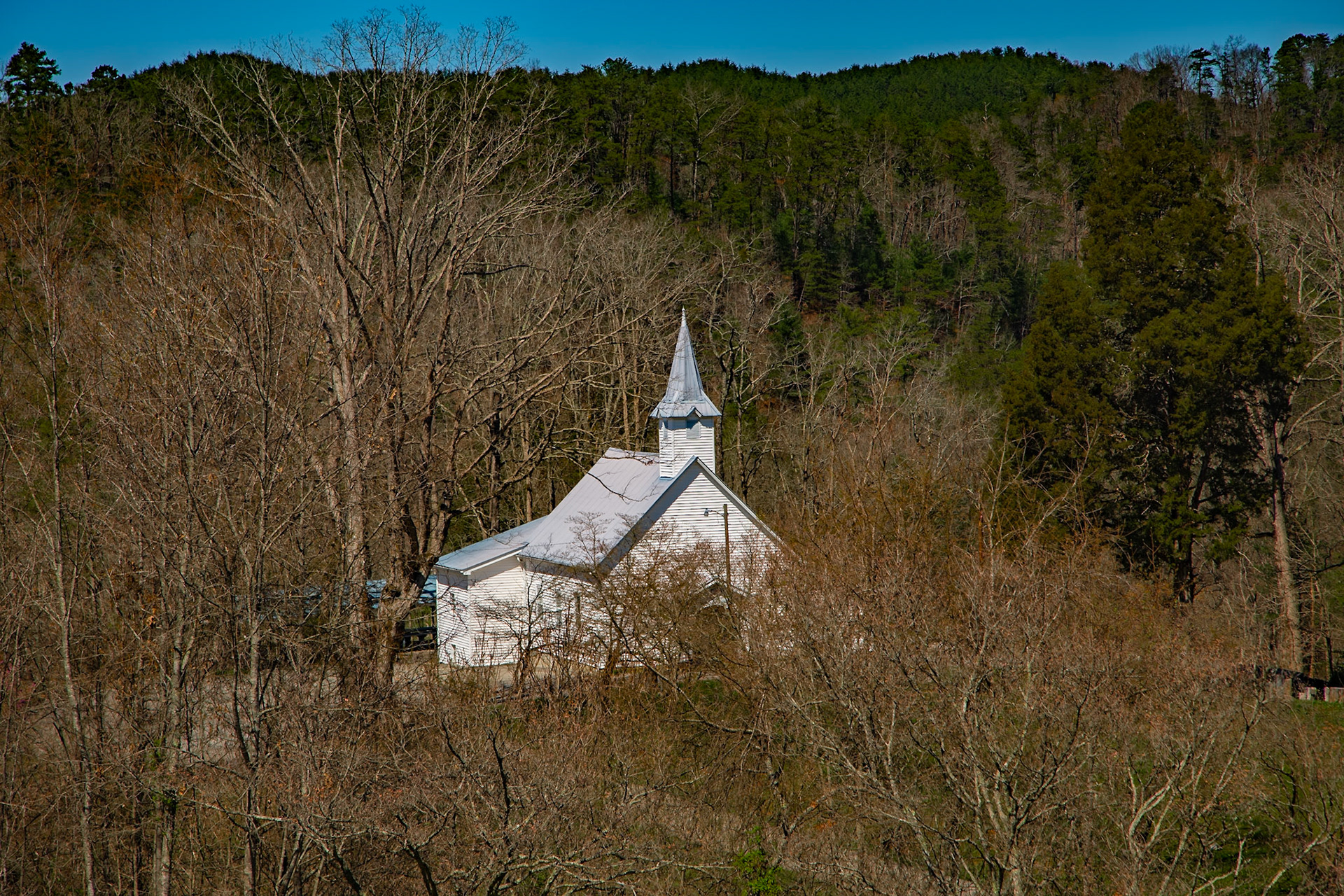
Citico Baptist Church
Ciitico Creek Road
Citico Creek Road
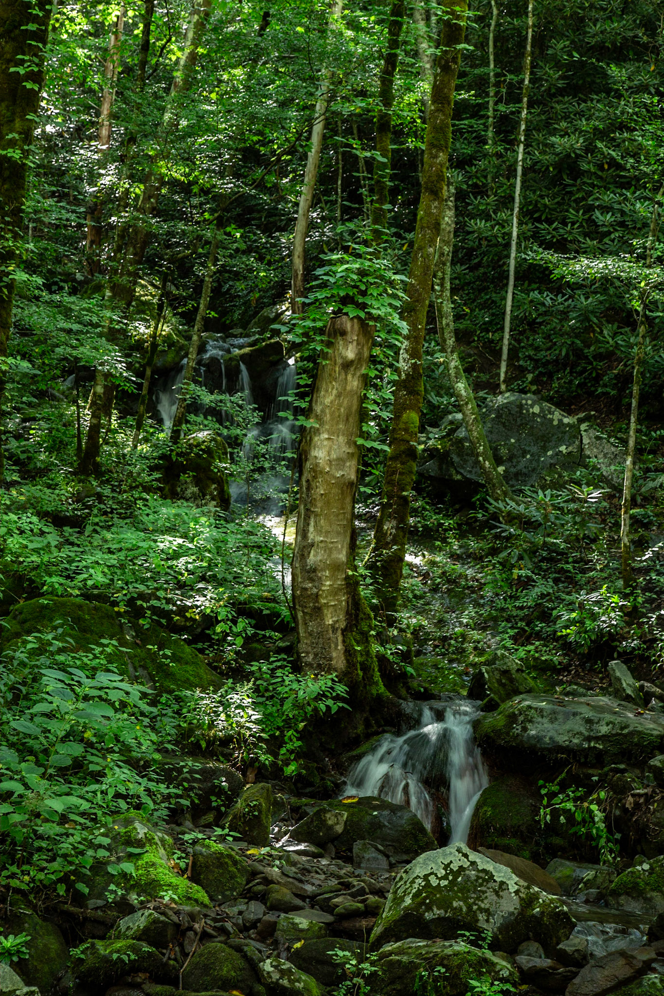
Streamside Trail in Spring at Citico Creek Campsite 9
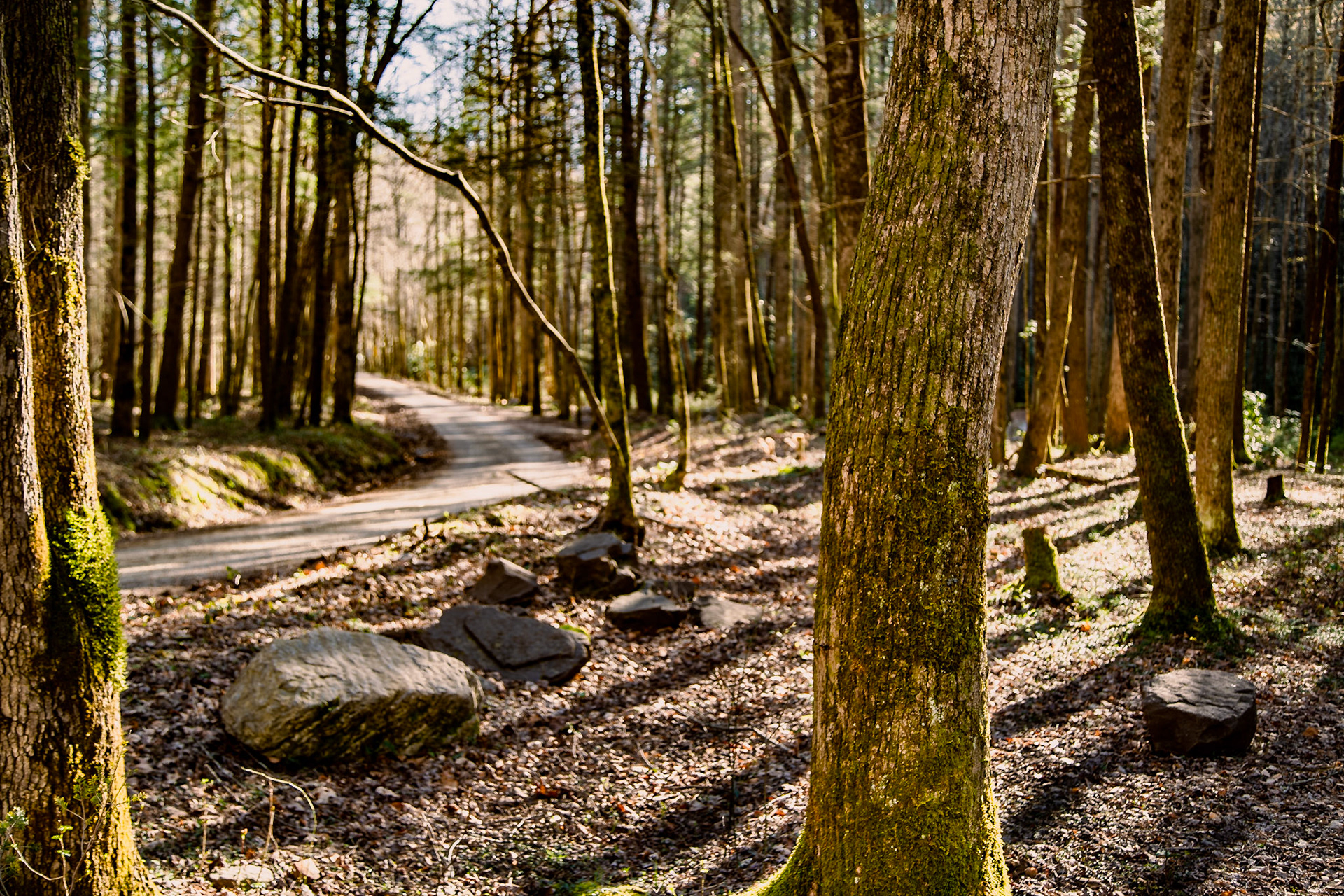
Doublecamp Creek Road, Citico Wilderness Area, Cherokee National Forest
Doublecamp Creek Road, Citico Wilderness Area, Cherokee National Forest
Spring on Chestnut Valley Road
Spring on Chestnut Valley Road
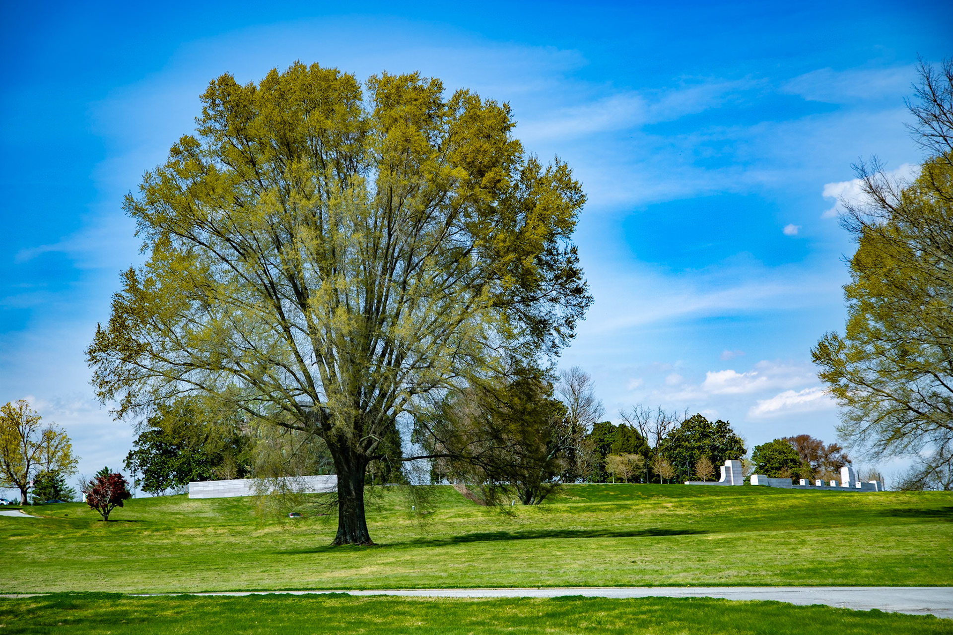
Spring at Melton HIll Park
Redbud at Meldon Hill Park
Spring at Melton HIll Park
Spring at Melton HIll Park
Spring in Lakeshore Park
Spring in Lakeshore Park
Spring in Lakeshore Park
Spring in Lakeshore Park
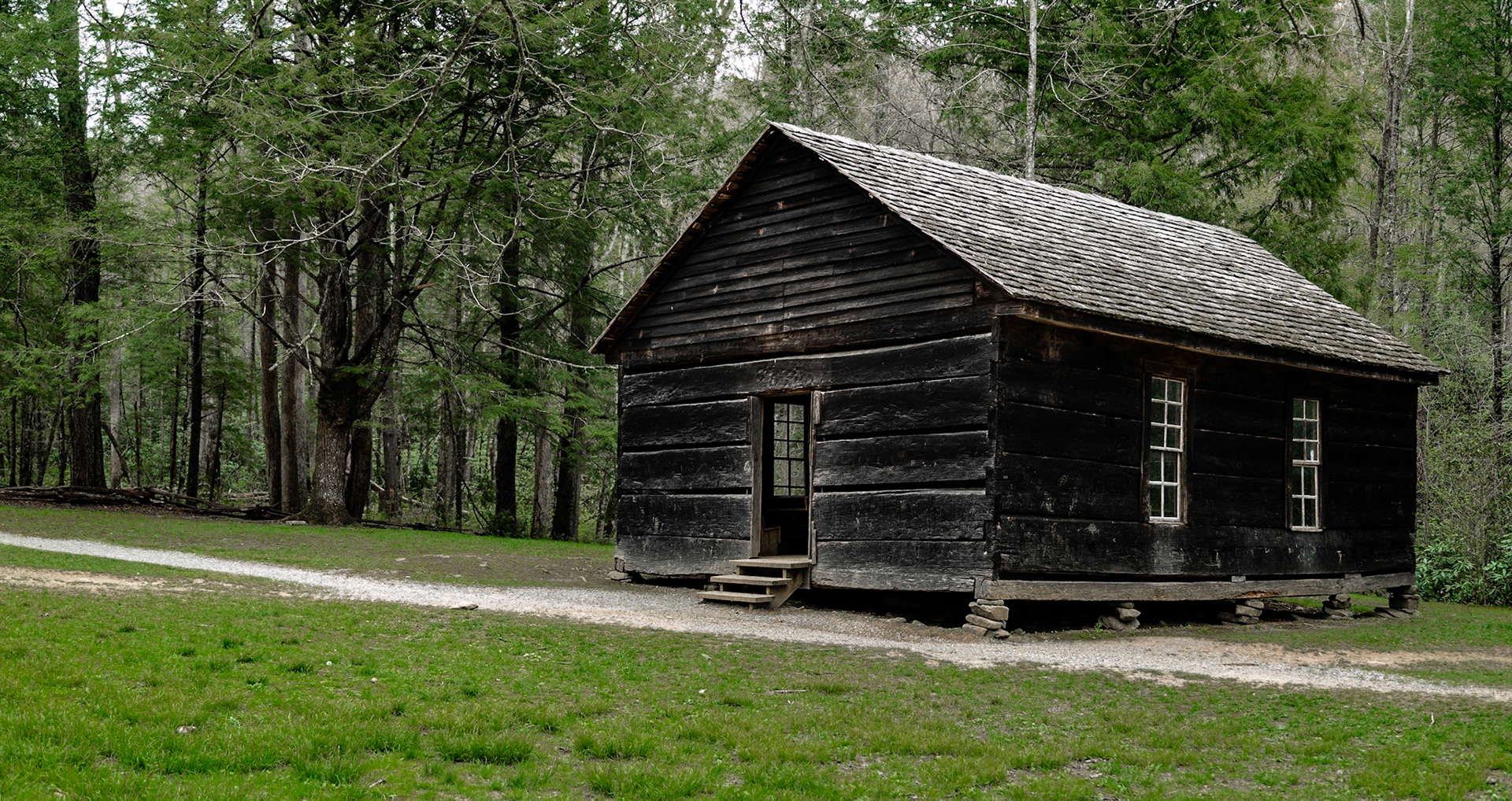
Little Greenbriar School, preserved in Great Smoky Mountains National Park - It reminds me that my father (born in 1903) attended a similar school. My mother and aunt taught in schools that were only slight upgrades before 1940.
Little Greenbriar School, preserved in Great Smoky Mountains National Park - It reminds me that my father (born in 1903) attended a similar school. My mother and aunt taught in schools that were only slight upgrades before 1940.
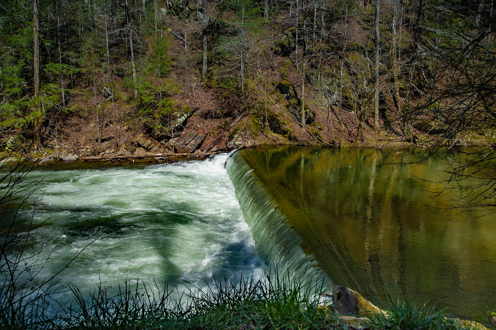
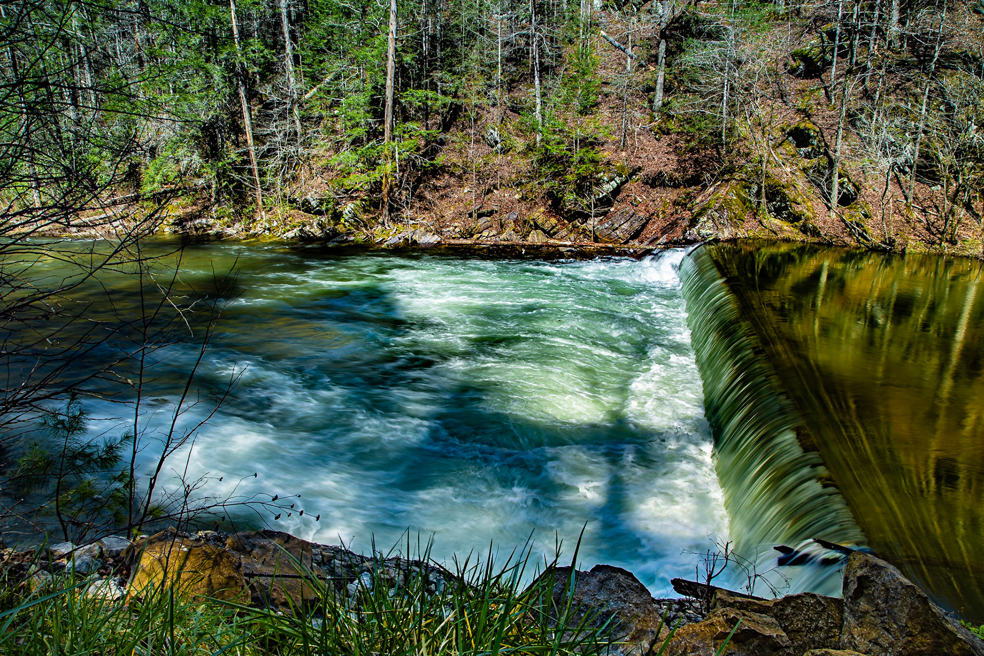
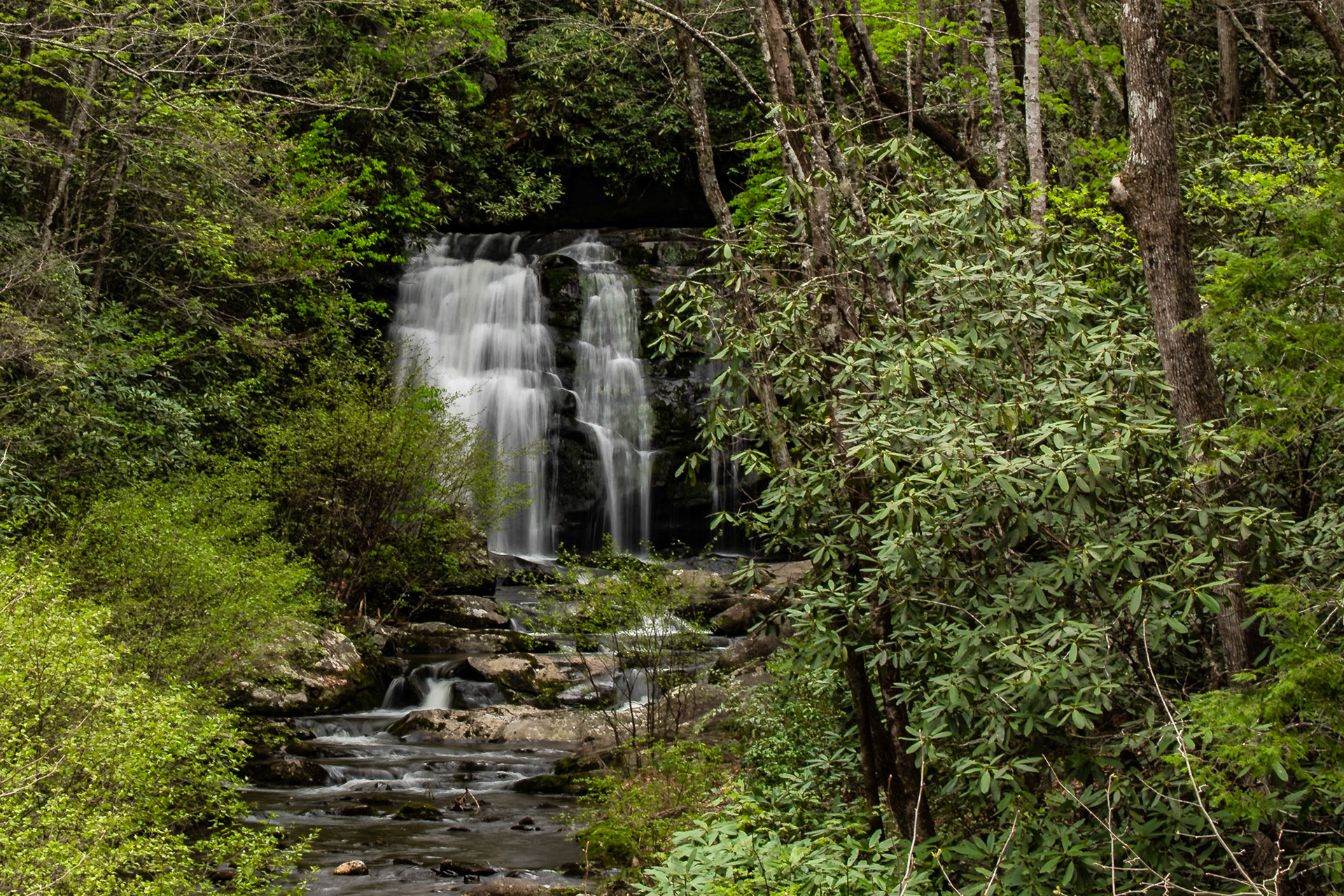
Meig Falls
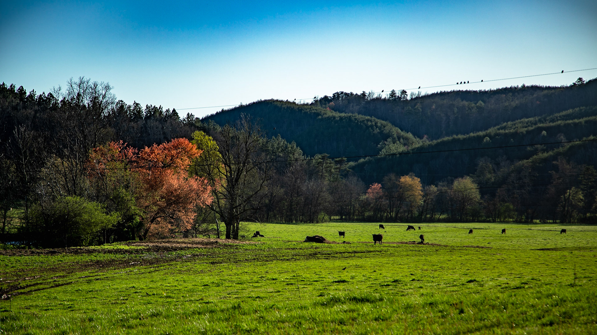
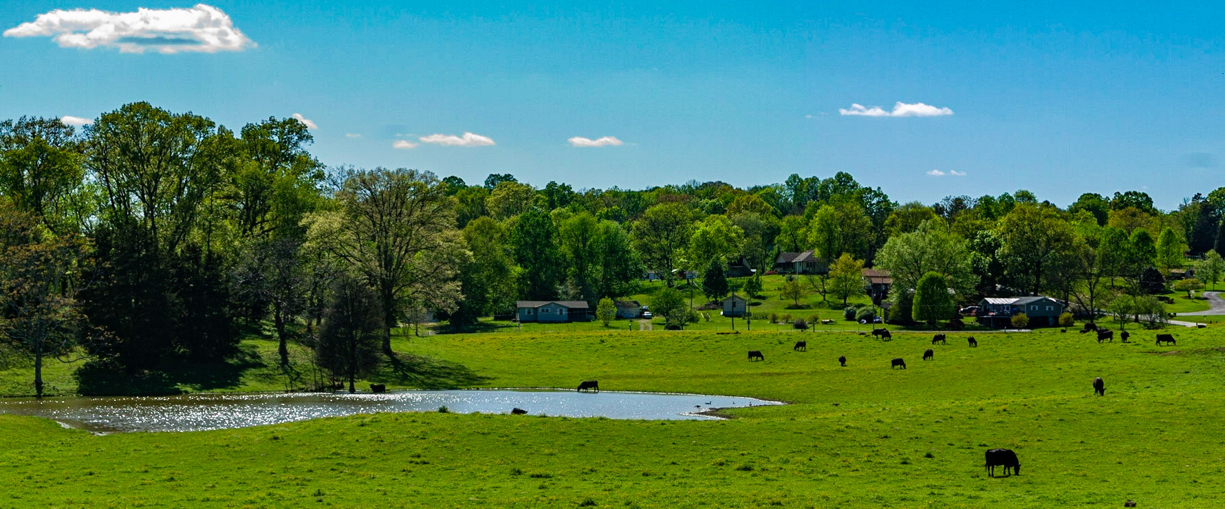
Cattle on Morton Road, Lenoir City, Tennessee
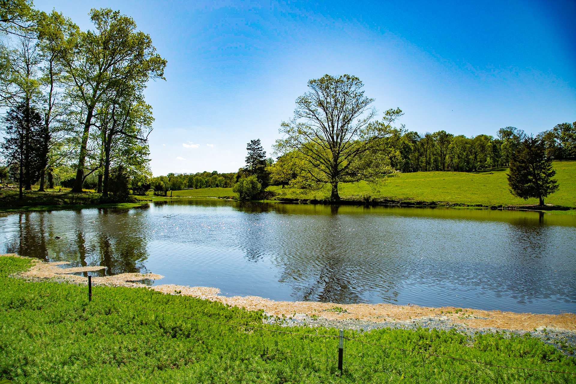
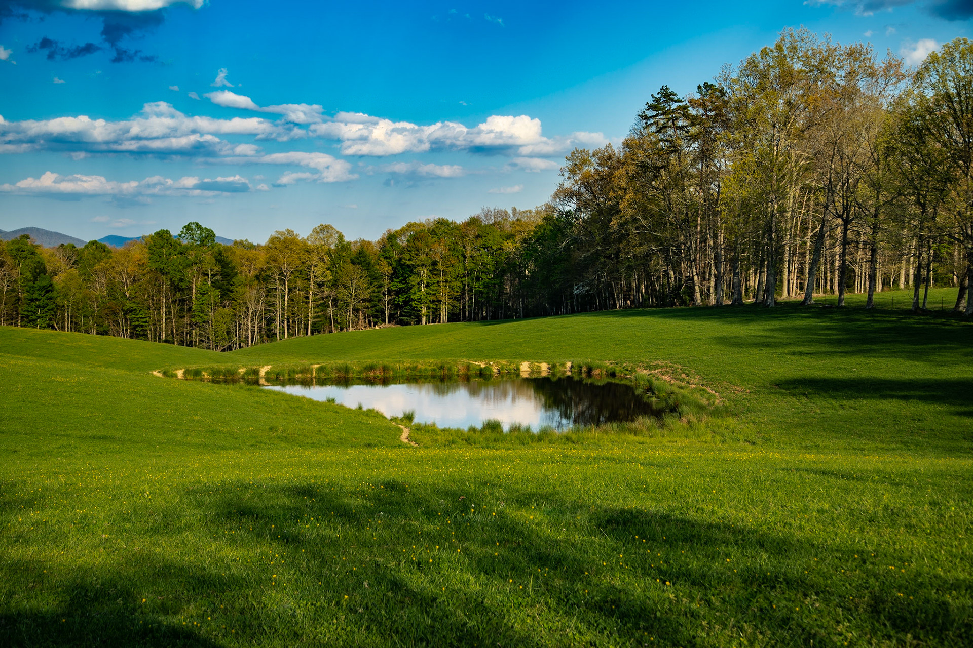
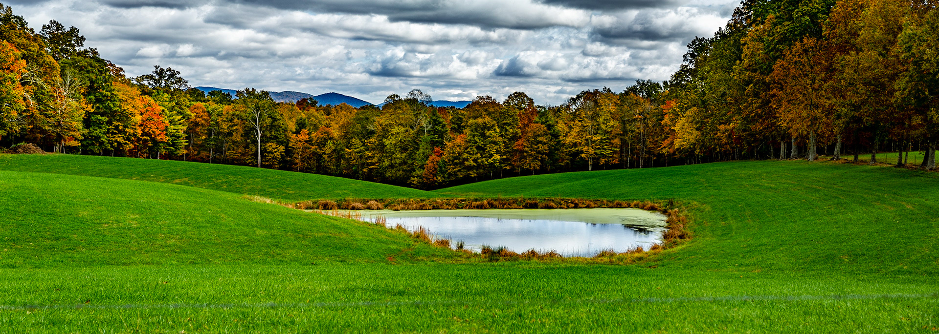
Morton Road Pond
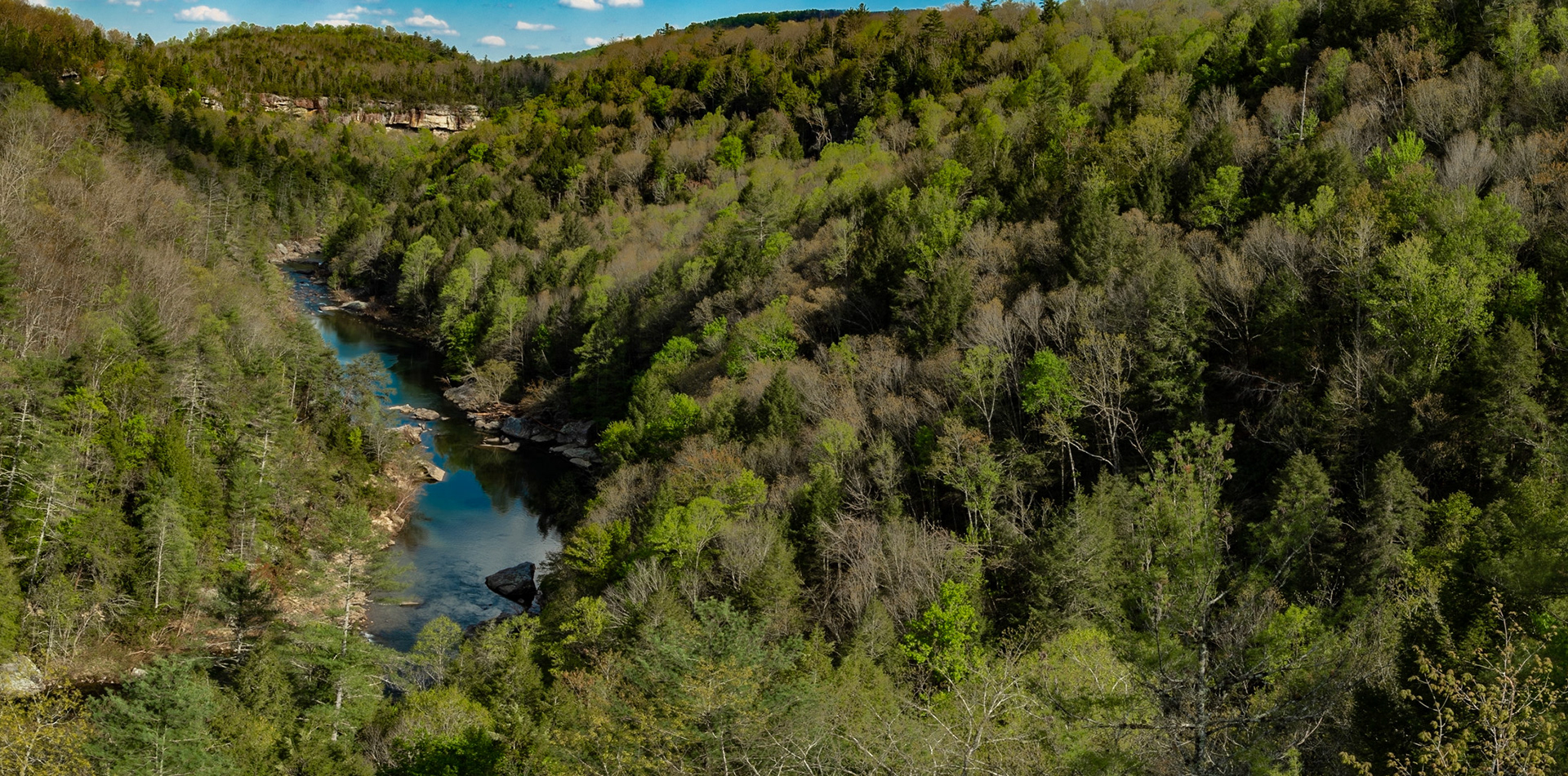
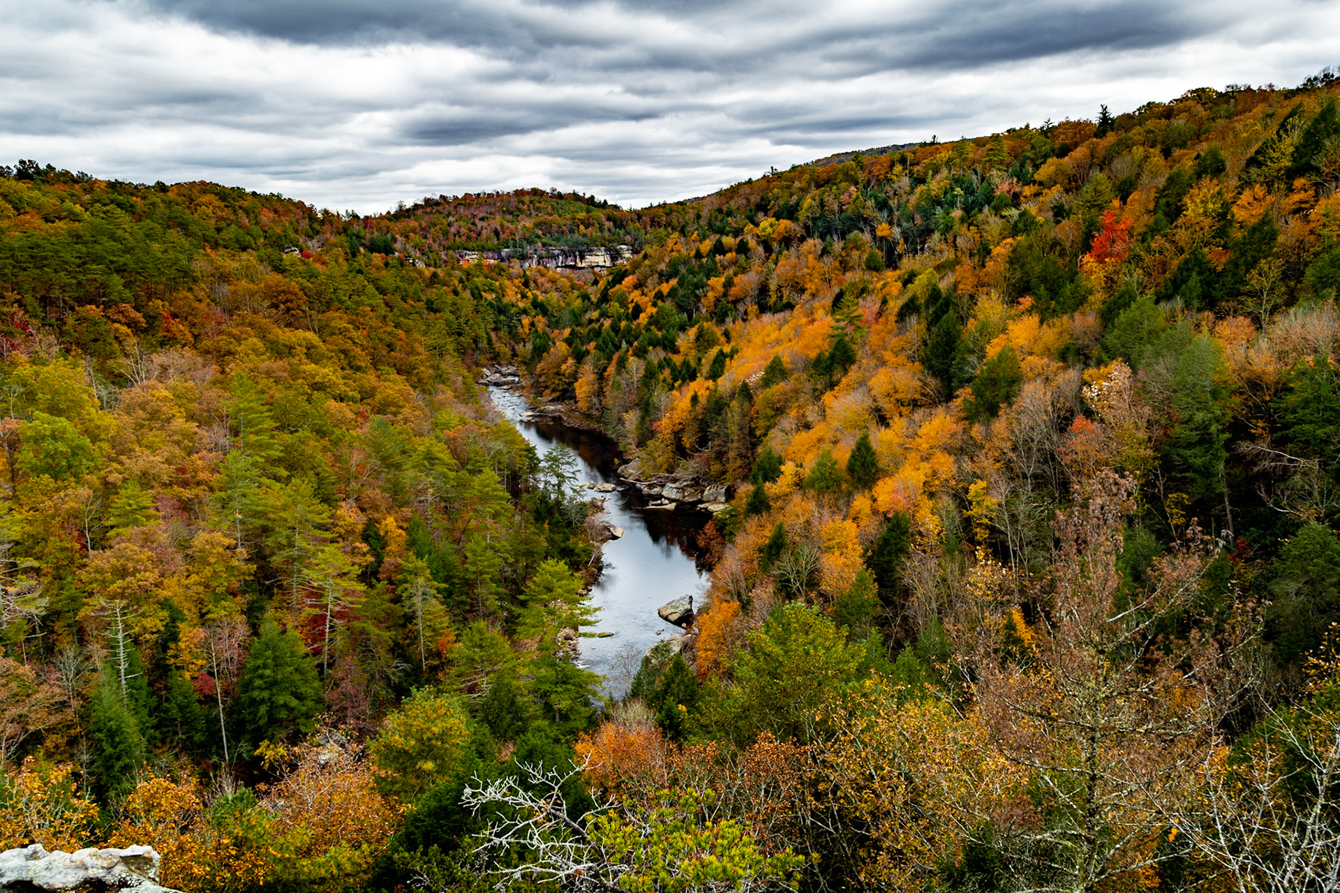
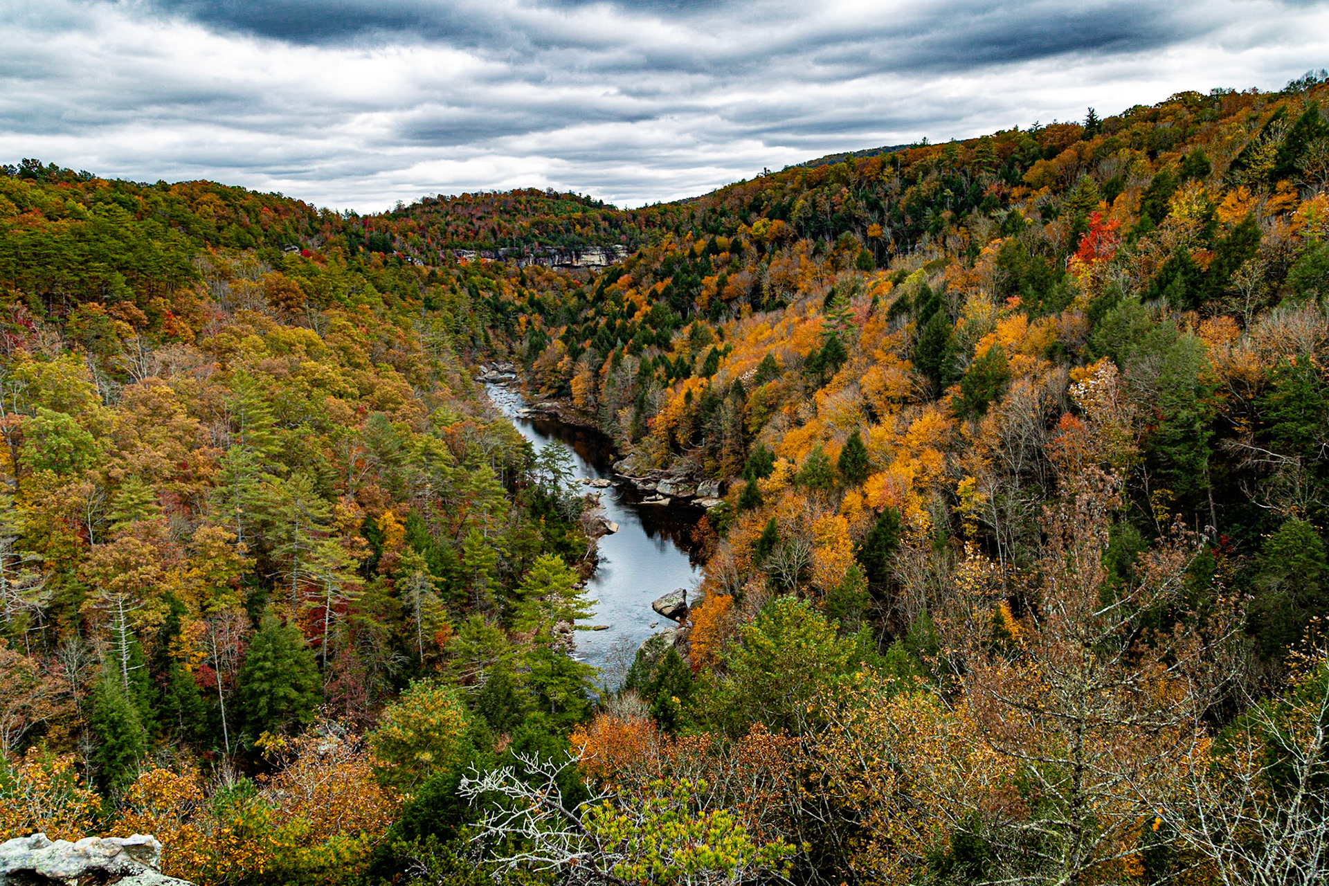
Lilly Bluff Overlook and Clear Creek
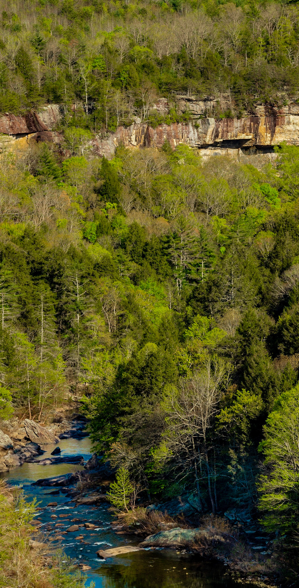
Lilly Bluff Overlook
Lilly Bluff Overlook Trail, Obed National Wild & Scenic River
Lilly Bluff Overlook Trail, Obed National Wild & Scenic River
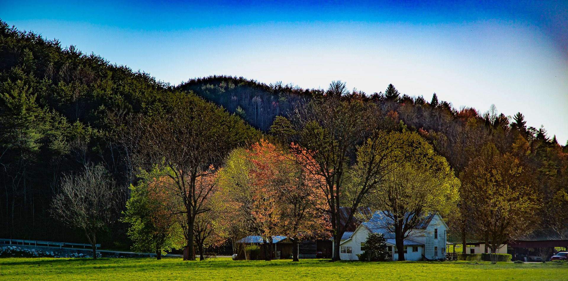
Spring on the Farm in Lancing Tennessee
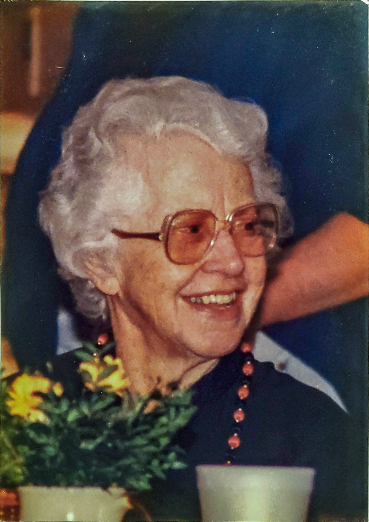
Stella Mae Parkey Lewis
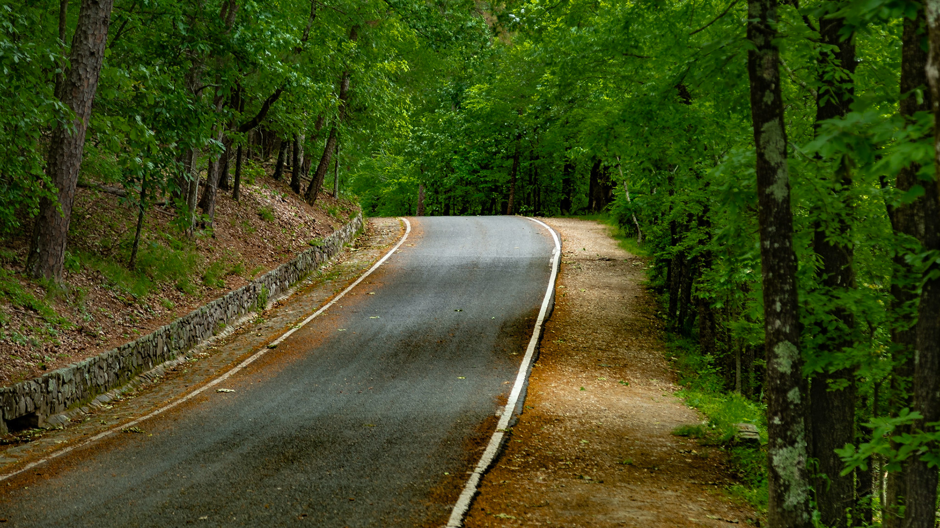
North Mountain Drive, Hot Springs National Park
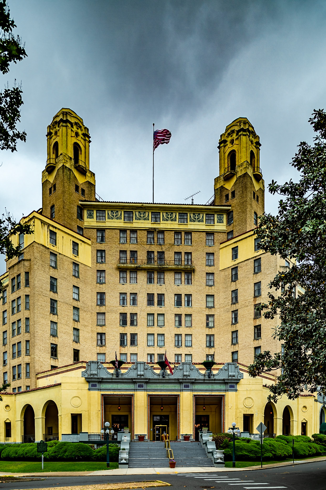
Arlington Resort Hotel & Spa
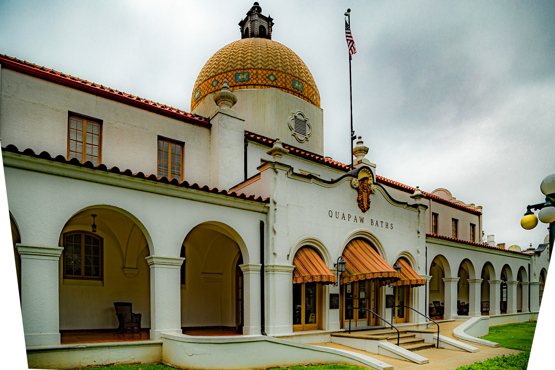
Quapaw Baths & Spa
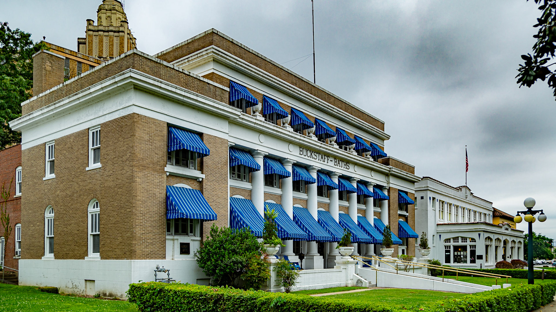
Buckstaff Baths
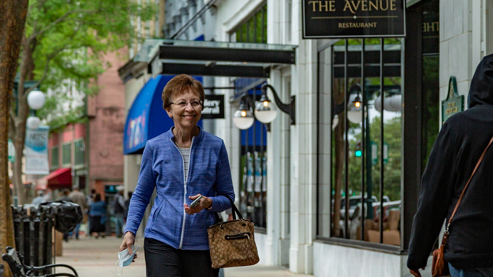
Christie Lewis, Hot Springs, AR, May 11, 2021
Arlington Resort Hotel & Spa
I crossed the bridge at this location in 1960, with my parents, in a car without air conditioning. A map I drew as we traveled then passes through Elk City on Route 66.
I crossed the bridge at this location in 1960, with my parents, in a car without air conditioning. A map I drew as we traveled then passes through Elk City on Route 66.
Route 66, Turkey Creek, Elk City, OK - I crossed the bridge at this location in 1960, with my parents, in a car without air conditioning. A map I drew as we traveled then passes through Elk City on Route 66.
I crossed the bridge at this location in 1960, with my parents, in a car without air conditioning. A map I drew as we traveled then passes through Elk City on Route 66.
Gray County Rest Aream I-40 & Route 66, McLean, Texas
Gray County Rest Aream I-40 & Route 66, McLean, Texas
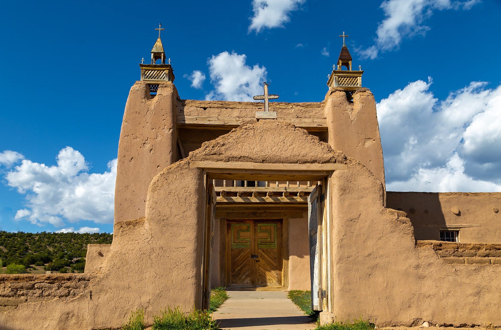
U.S. Declaration of Independence, 1776; Tennessee Statehood, 179636°7'51.7414" N 105°45'30.3634" W
U.S. Declaration of Independence, 1776; Tennessee Statehood, 179636°7'51.7414" N 105°45'30.3634" W
Years ago, I read an Ansel Adams photograph caption, discussing how he captured cottonwood trees in black and white, for the sense of their glow in spring. I saw that glow yesterday. Digital color is much easier.
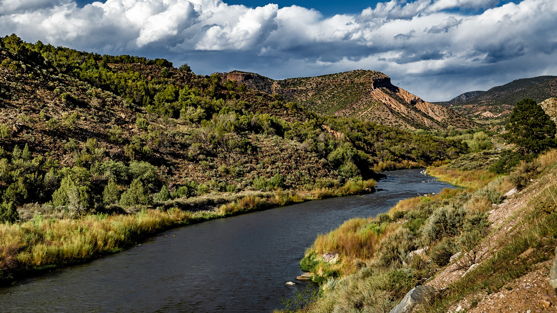
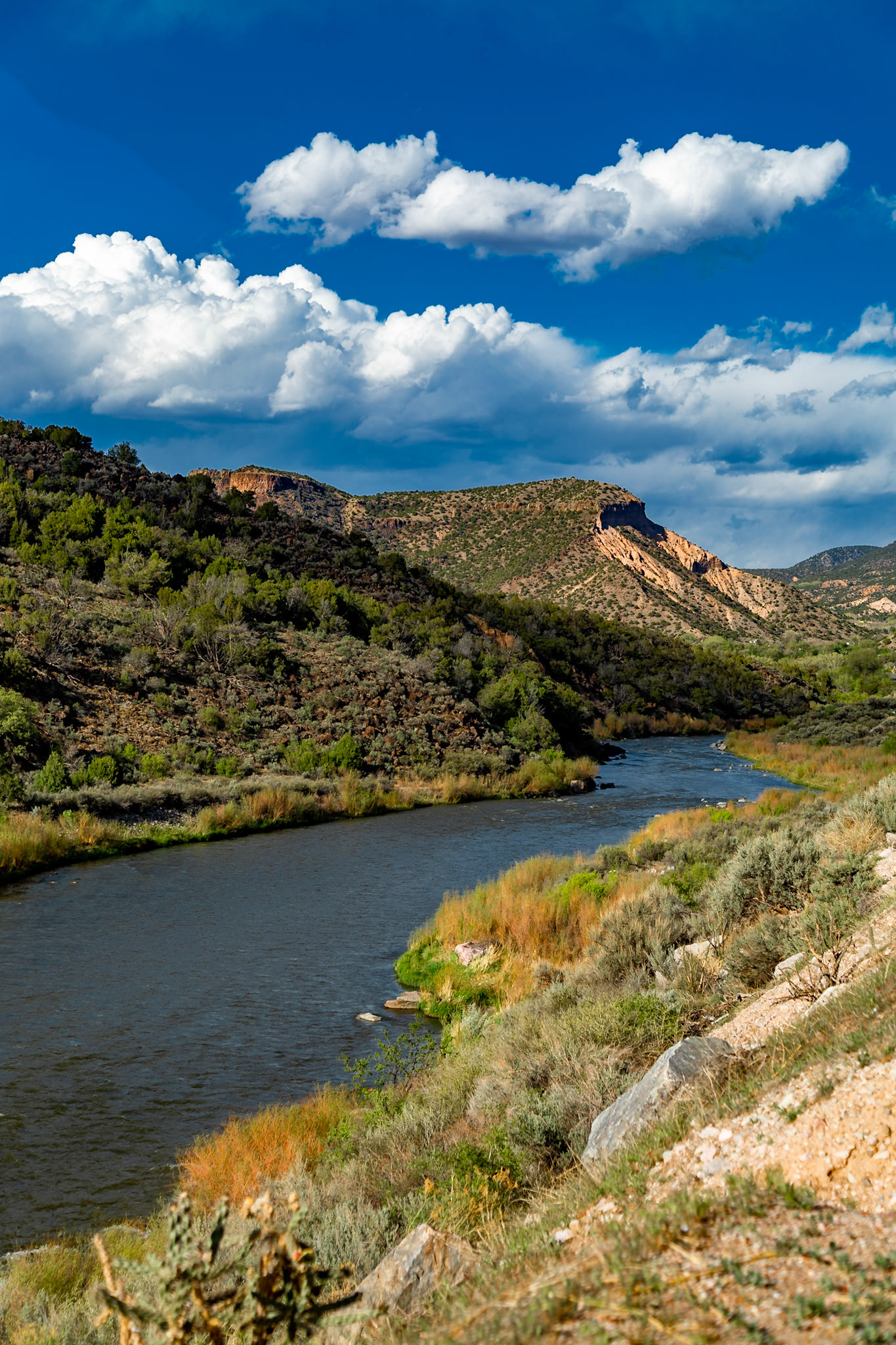
Rio Grande Gorge, Penasco, NM at Alberts Falls Rapids, May 13, 2021 - The water level here, near Taos, New Mexico was roughly the same as I saw at Big Bend National Park a few years ago. I was recently told that very little of the water we saw here will make it to the Mexican border and Texas, due to irrigation and other uses. According to my source, most of the Rio Grande water at Big Bend comes from Mexico
Rio Grande Gorge, Penasco, NM at Alberts Falls Rapids, May 13, 2021 - The water level here, near Taos, New Mexico was roughly the same as I saw at Big Bend National Park a few years ago. I was recently told that very little of the water we saw here will make it to the Mexican border and Texas, due to irrigation and other uses. According to my source, most of the Rio Grande water at Big Bend comes from Mexico
Ranchos de Taos State Route 68
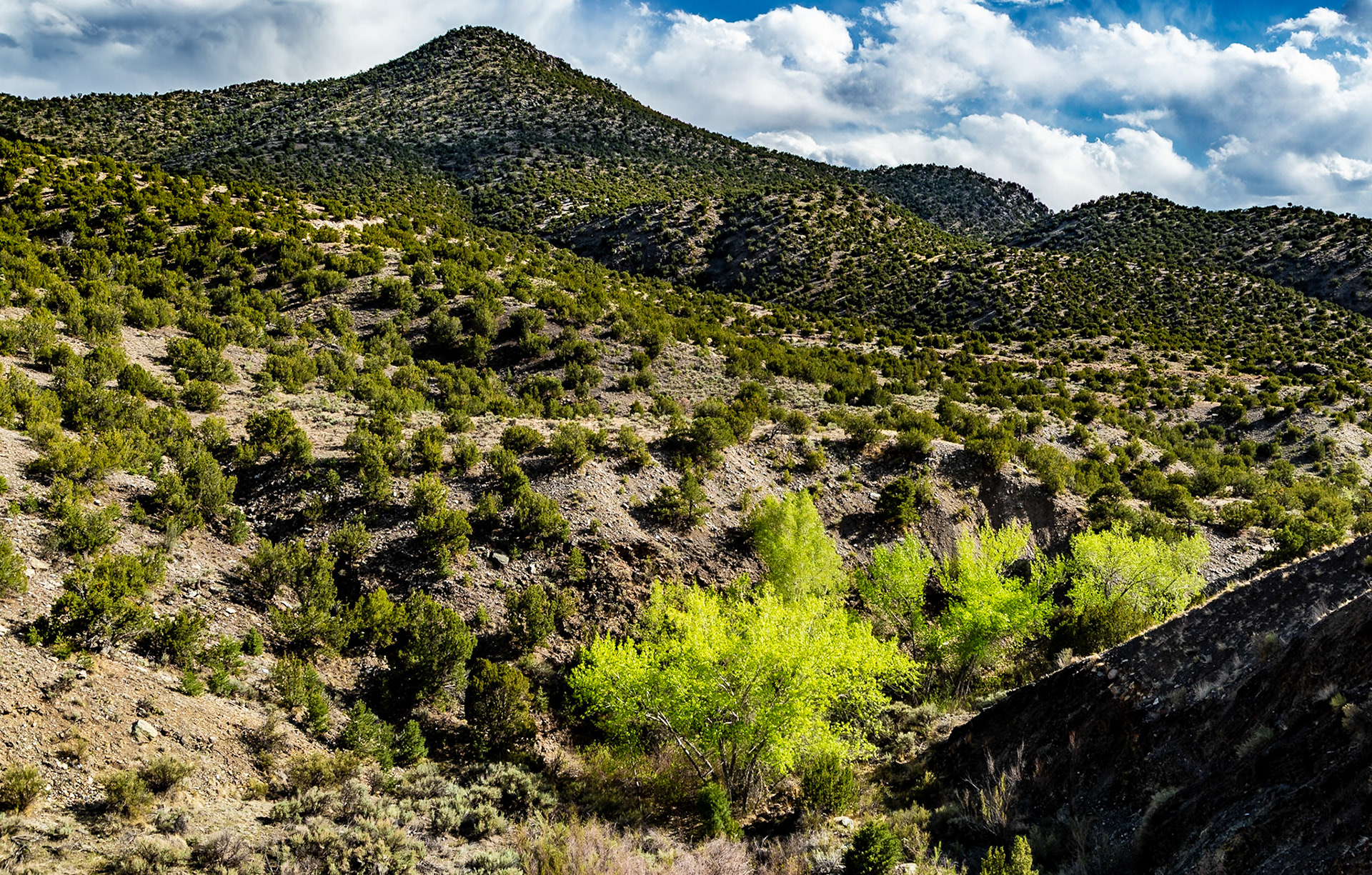
Mogota Ridge at Ojitos de los Gatos, Northwest of Abiquiu, New Mexico
Ranch Road at Ojitos de los Gatos, Northwest of Abiquiu, New Mexico
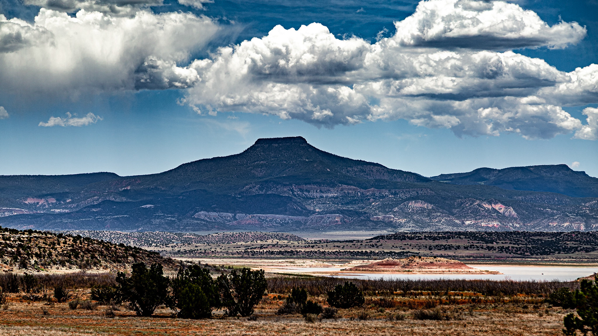
One of O’Keefe’s favorite subjects was Cerro Pedernal, the chopped-top mountain she saw from her kitchen window at Ghost Ranch. “It is my private mountain,” she once said. “It belongs to me. God told me if I painted it enough, I could have it.” In a way, this declaration was made true when O’Keefe’s ashes were scattered on Pedernal upon her death in 1986. --- In 2013 and on this 2021 trip, I felt frustrated that my images of it seemed too much like silhouettes. Recent reflection reminds me that Georgia’s paintings I remember of it lso have a silhouette quality. Maybe I was working to make mine too perfect to realize beauty.
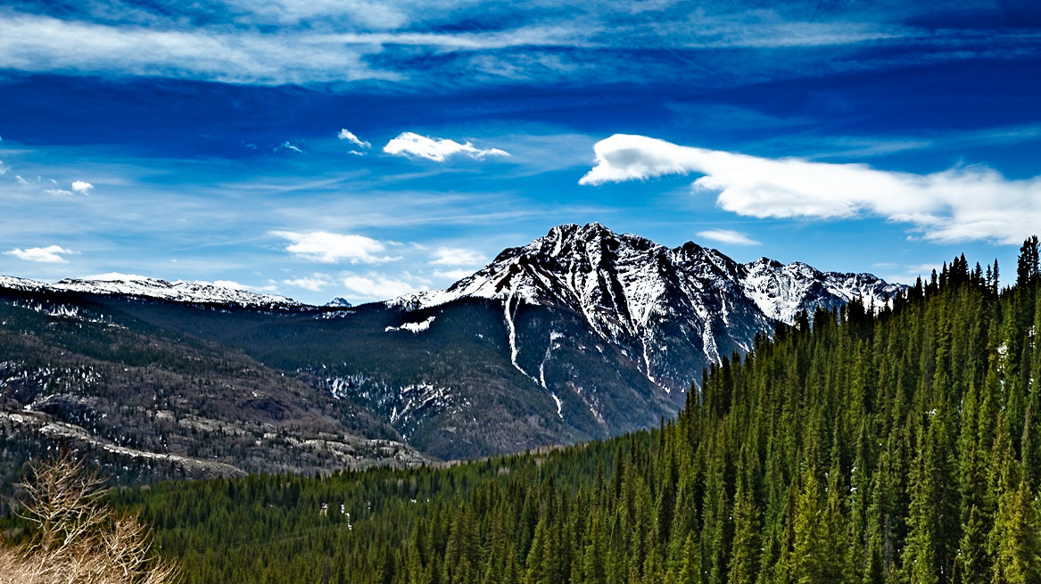
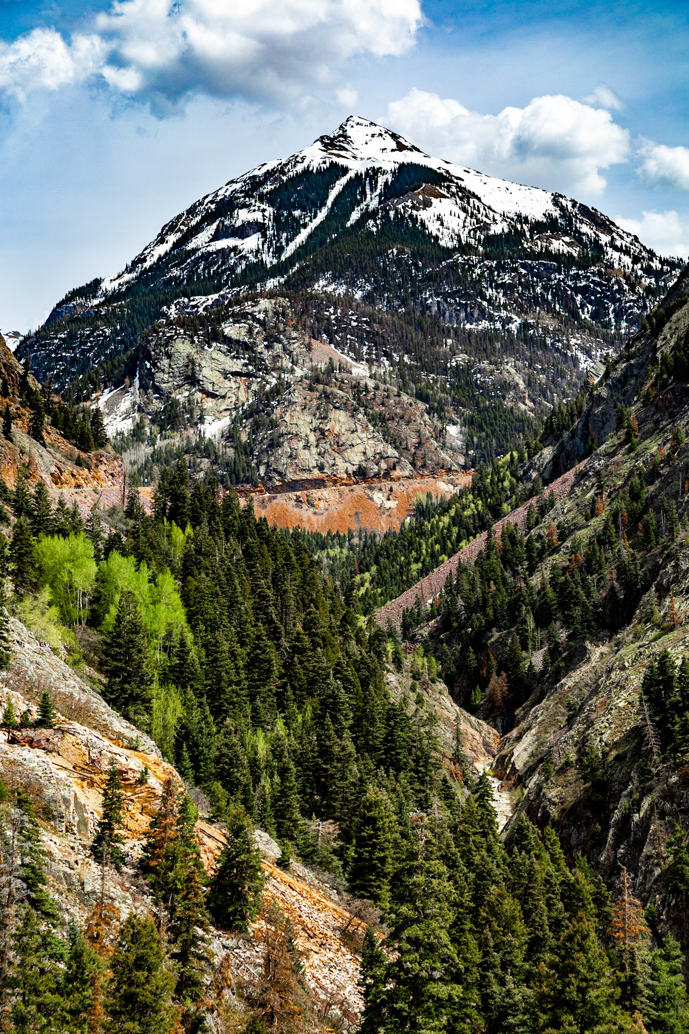
Molas Pass along San Juan Skyway
Molas Pass along San Juan Skyway, Altitude 10,238 ft. Panaramic View
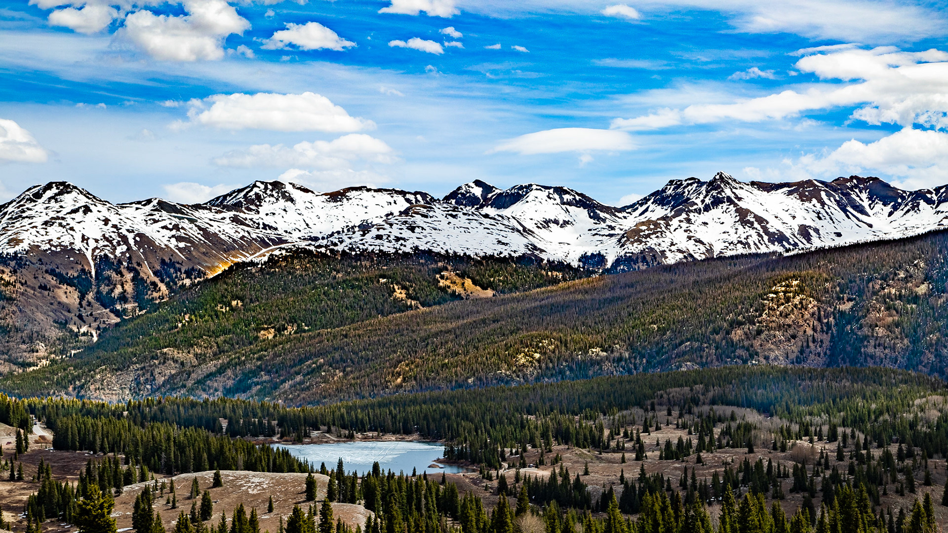
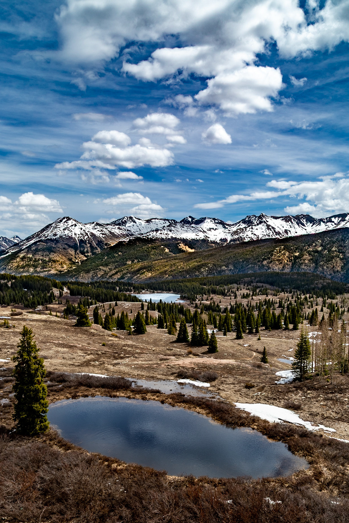
Molas Pass along San Juan Skyway, Altitude 10,238 ft. with Big Molas Lake Still Frozen
Molas Pass along San Juan Skyway, Altitude 10,238 ft. with Foreground Water and Big Molas Lake Still Frozen
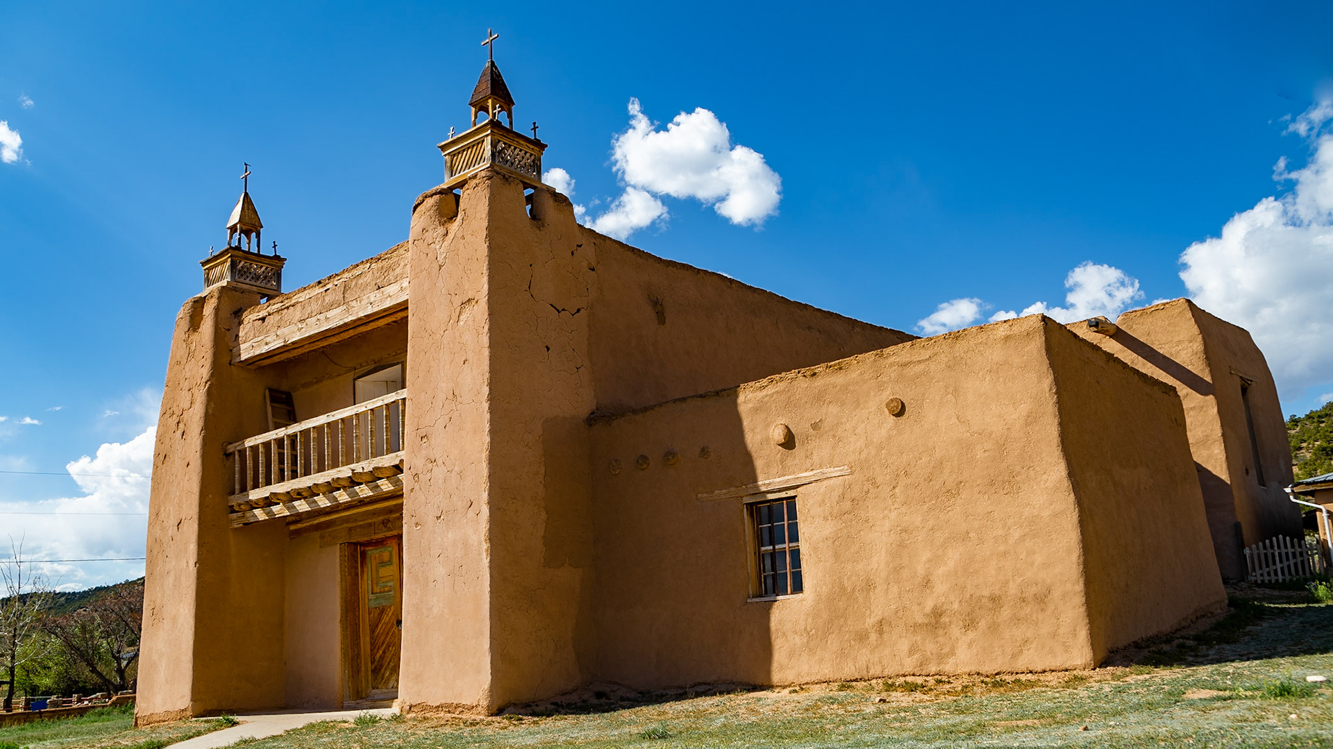
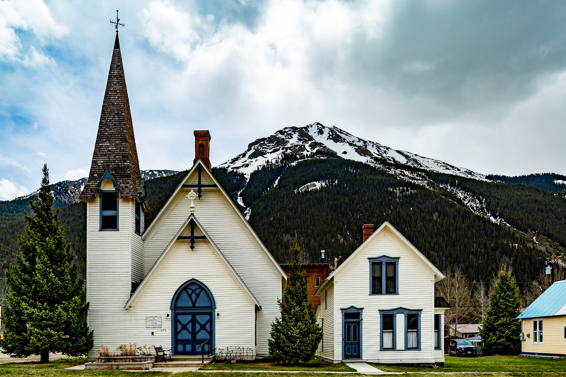
In the 1970s I was fascinated with Ansel Adams' work. His image of this church is burned into my memory. When we turned the corner, I felt Ansel's black and white of it touch my soul. I think I also have a version on slide film.
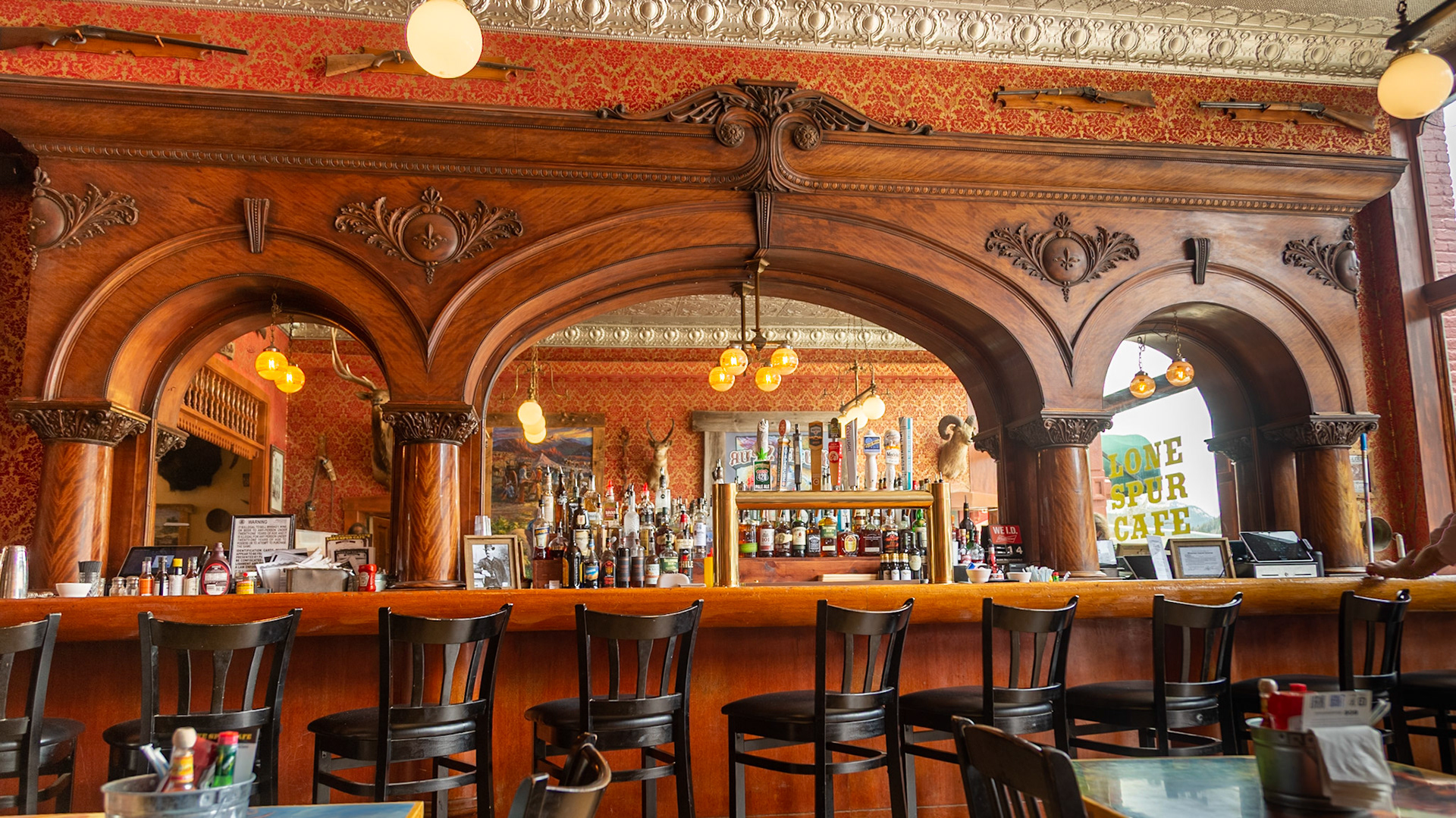
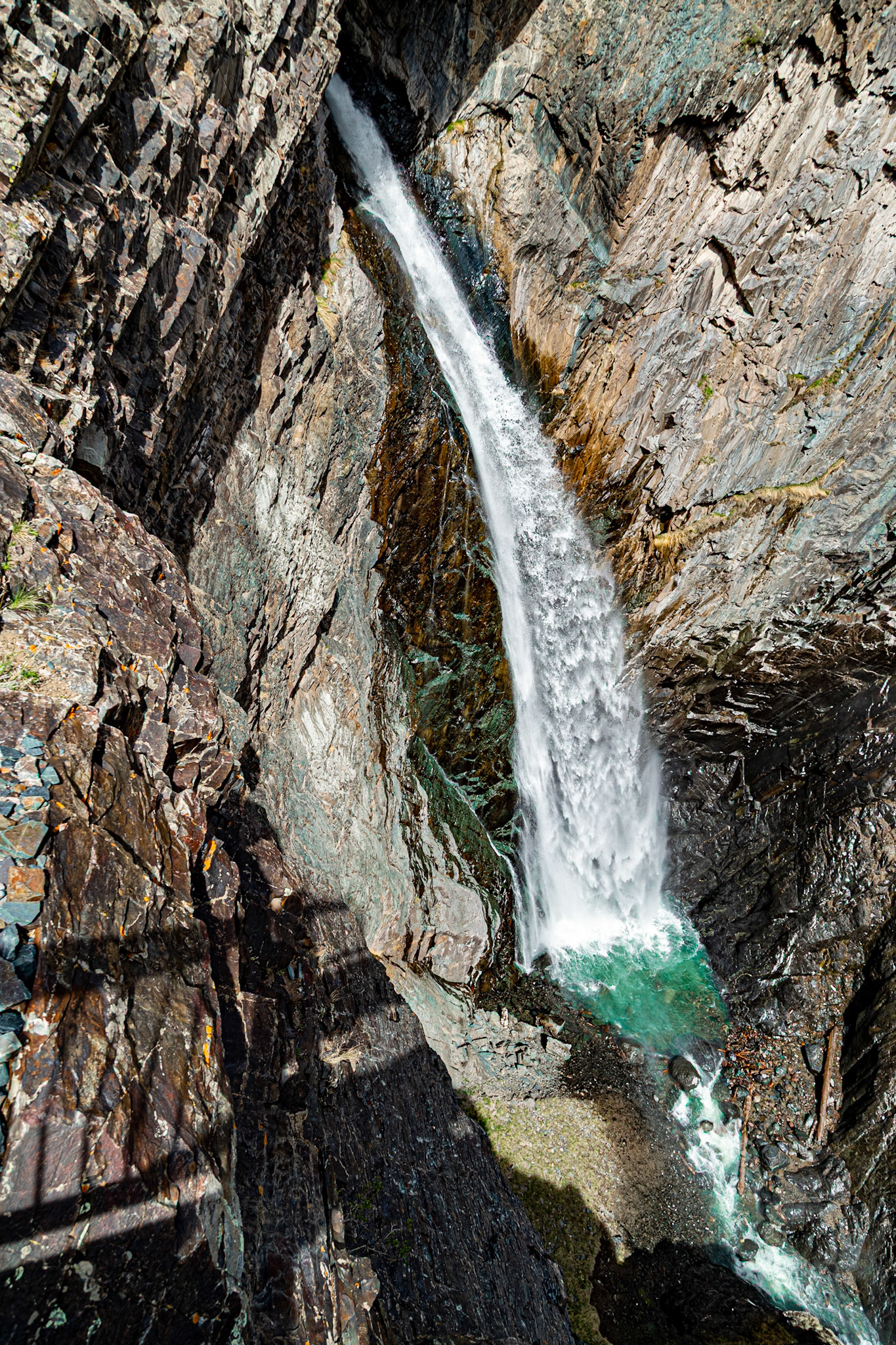
Lone Spur, Silverton, CO
Lone Spur, Silverton, CO
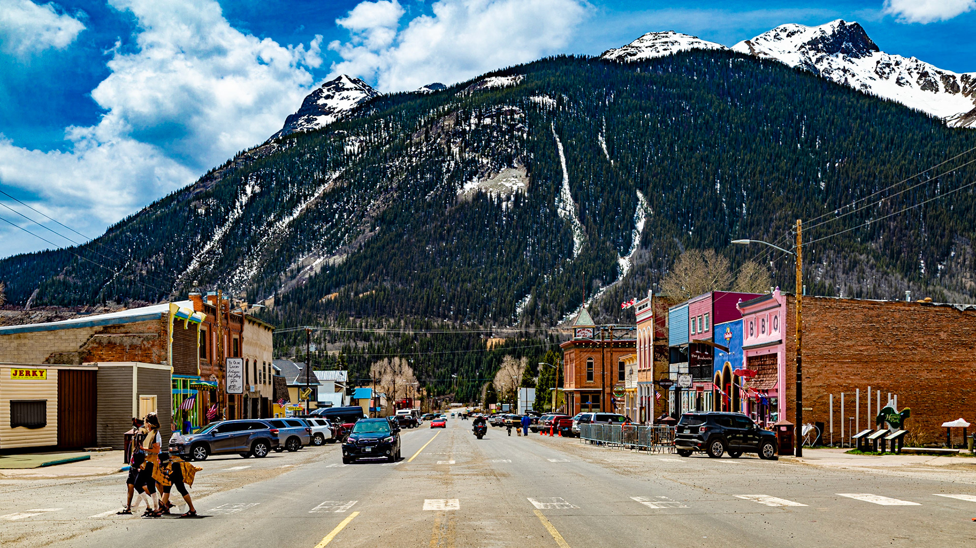
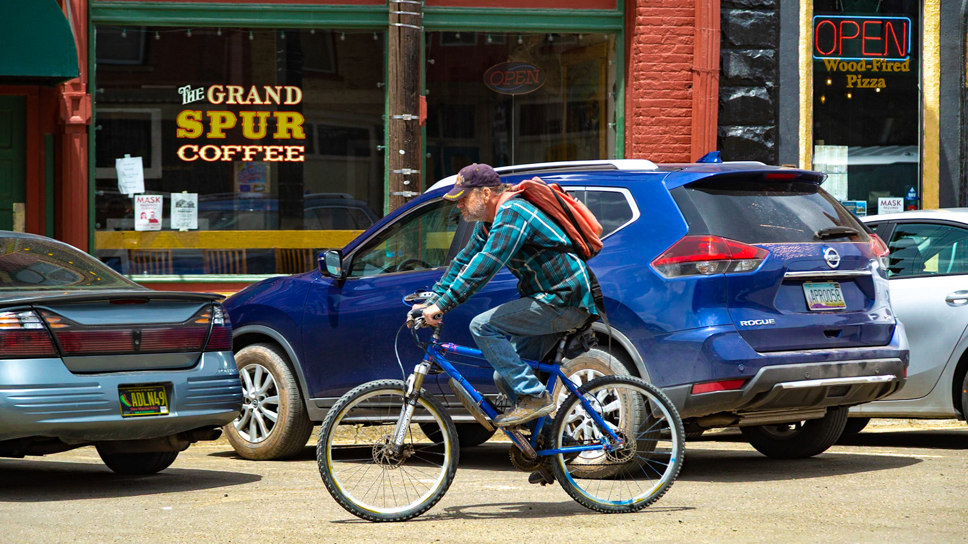
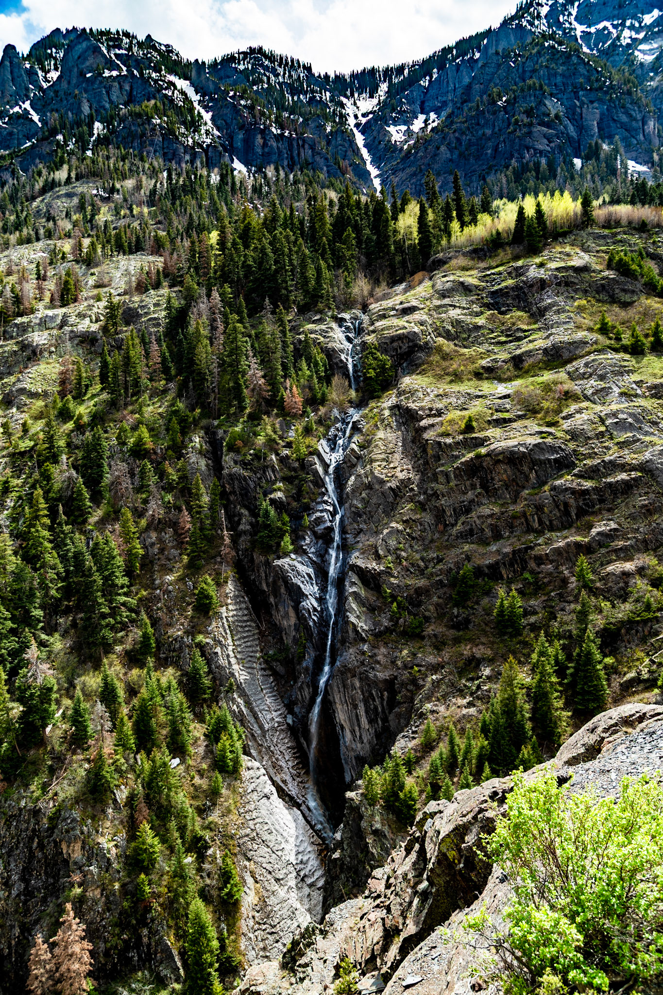
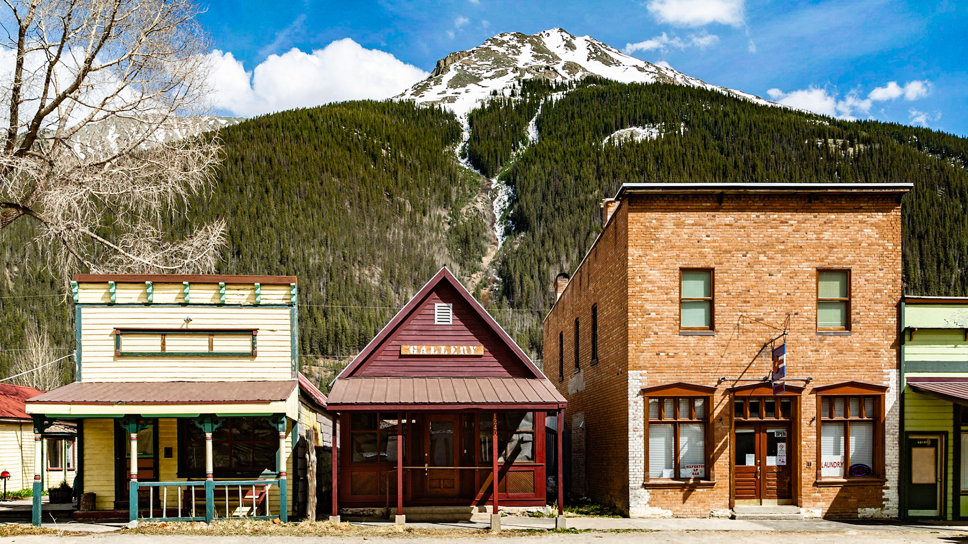
Greene Street, Silverton, Colorado
Greene Street, Silverton, Colorado
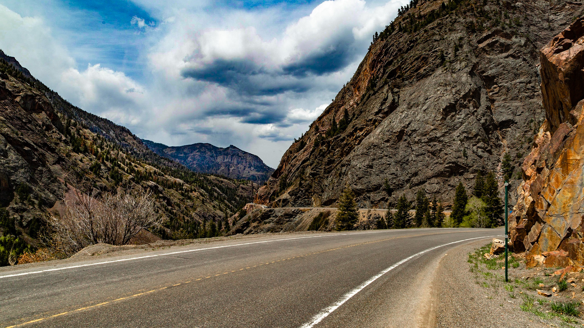
Million Dollar Highway to Ouray, Colorado
Million Dollar Highway to Ouray, Colorado
Million Dollar Highway to Ouray, Colorado
Million Dollar Highway to Ouray, Colorado
Empire Street, Silverton, Colorado
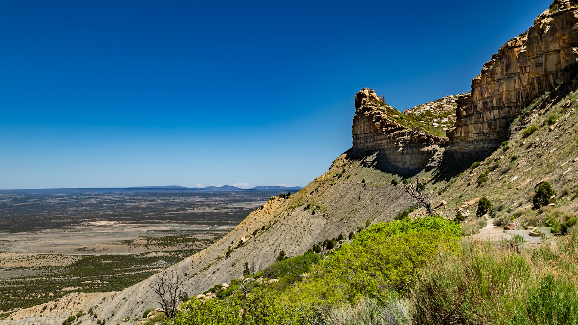
Montezuma Valley Overlook, Mesa Verde National Park, May 16, 2021
Montezuma Valley Overlook, Mesa Verde National Park, May 16, 2021
Montezuma Valley Overlook, Mesa Verde National Park
Montezuma Valley Overlook, Mesa Verde National Park
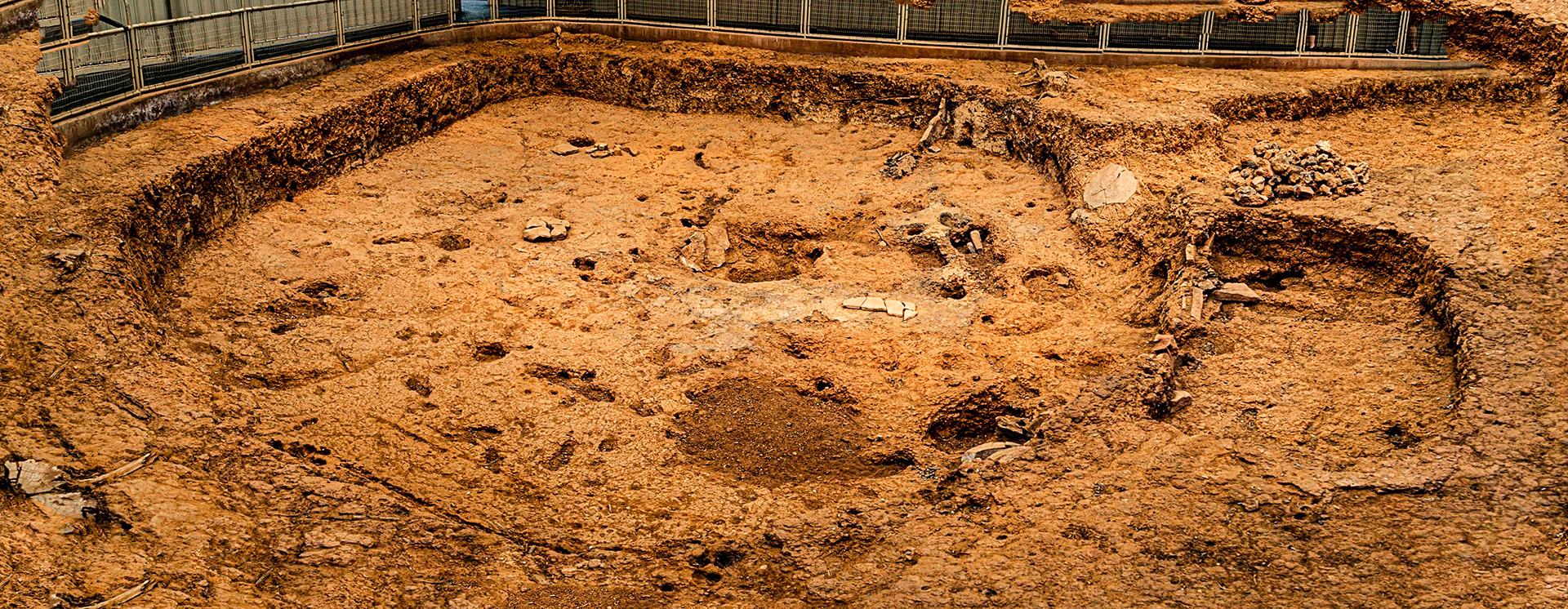
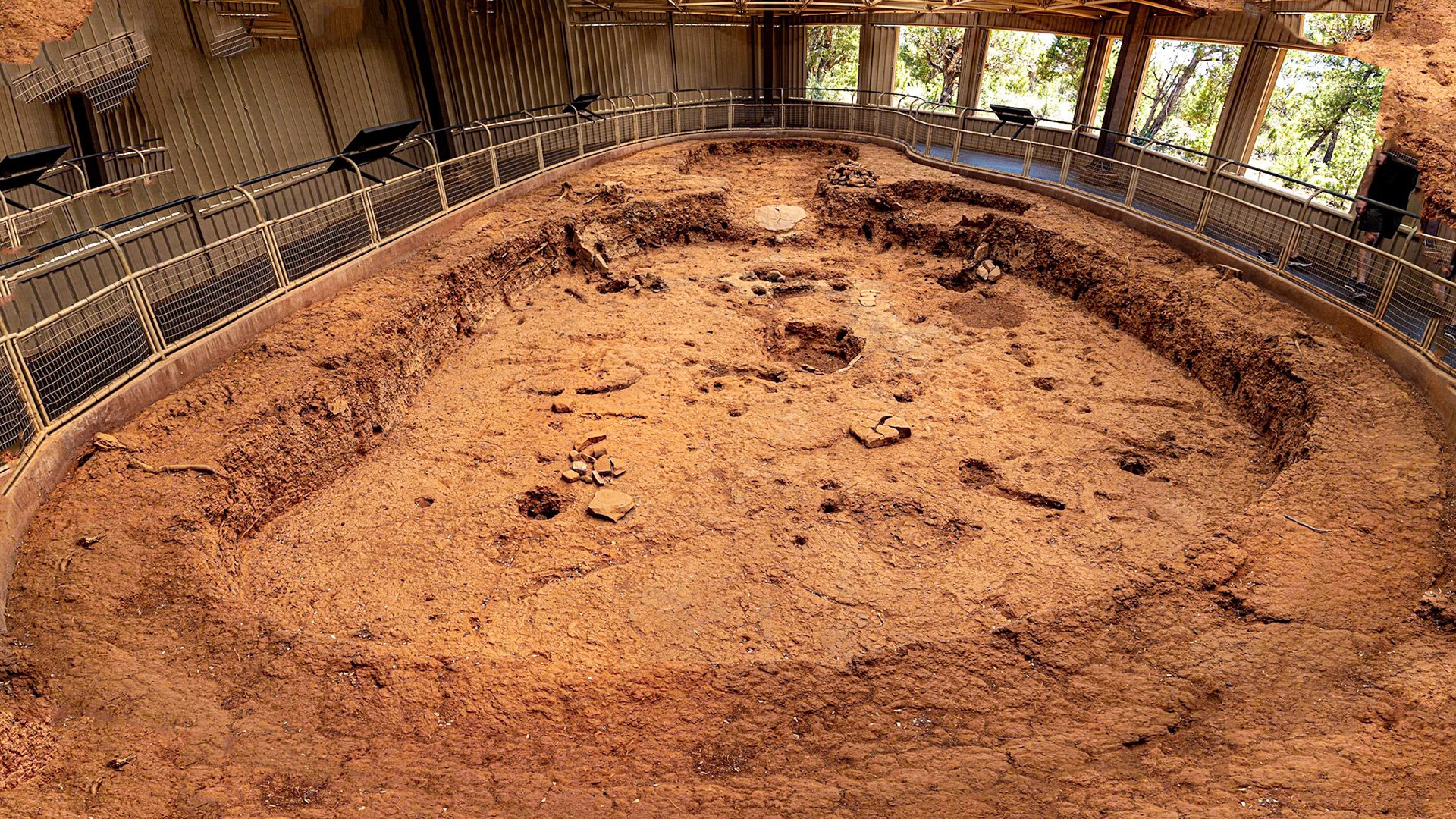
Pithouse Example, Mesa Verde National Park
Pithouse Example, Mesa Verde National Park
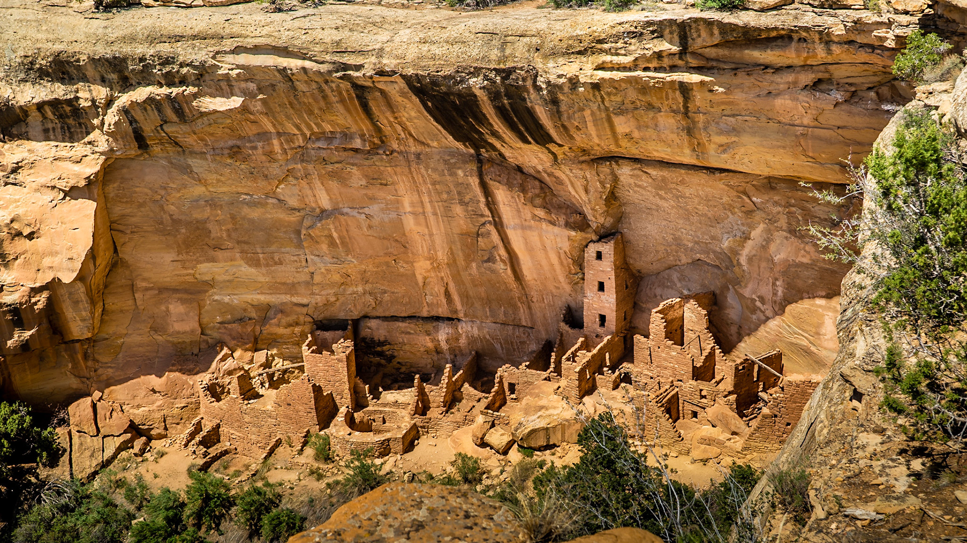
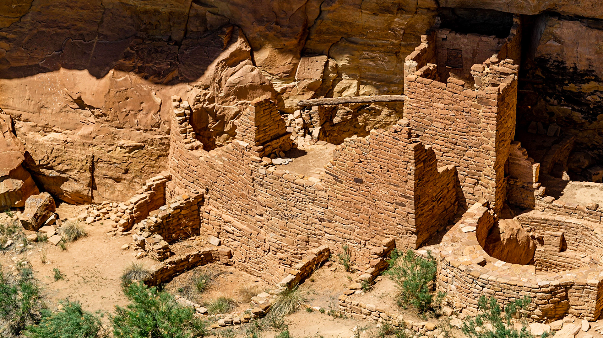
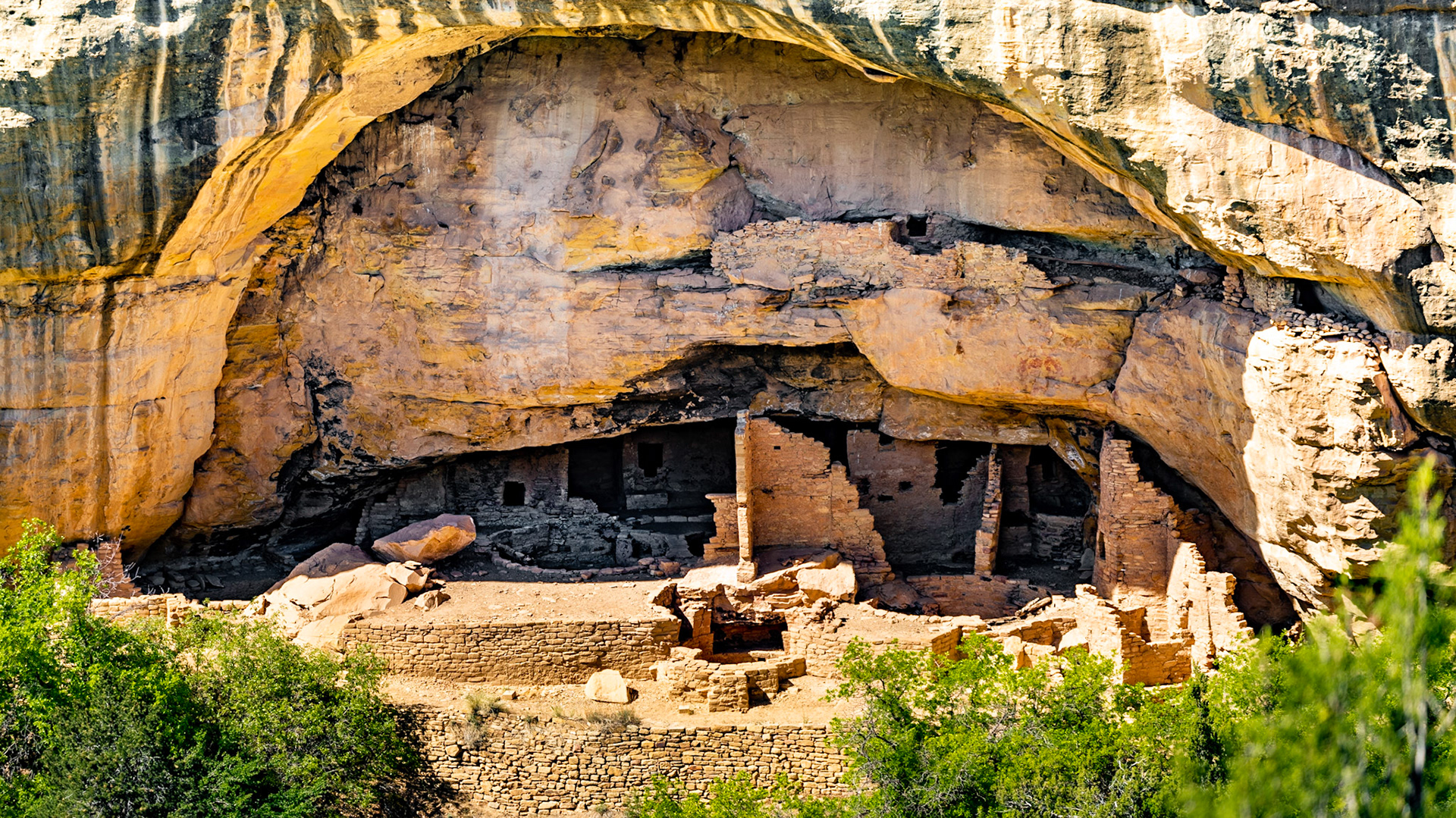
Ancent cliffside dwelling with tower
Square Tower House, Mesa Verde National Park, Colorado
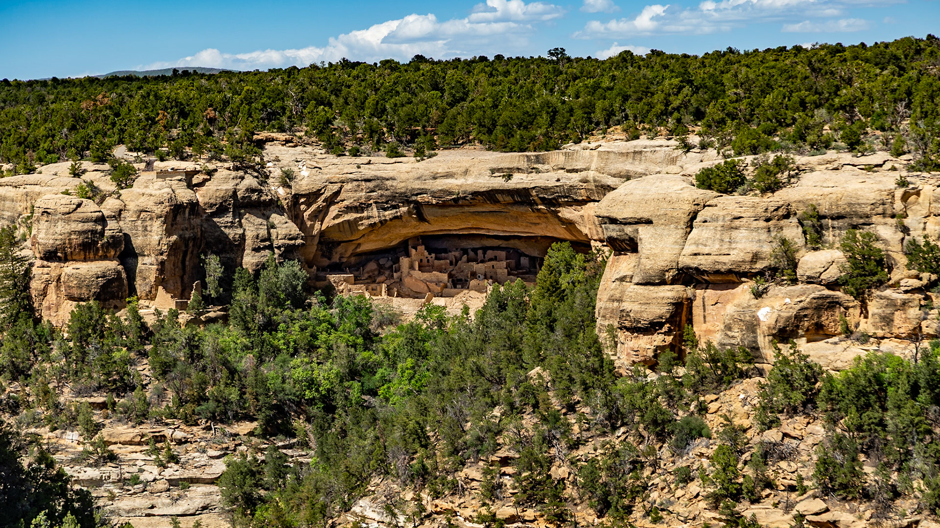
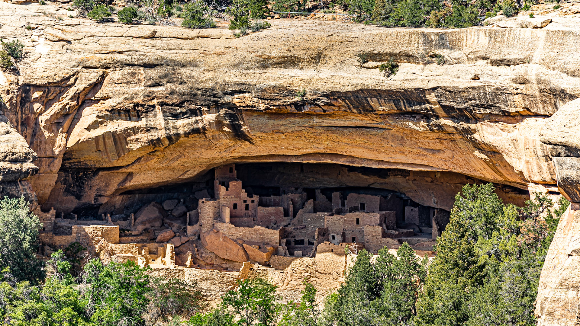
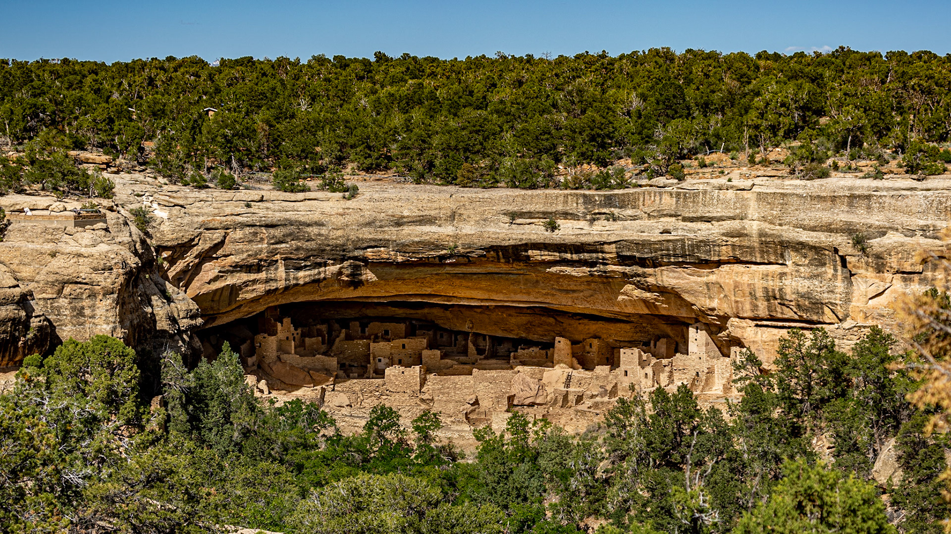
Sun Point View, Cliff Dwelling Overlook, Mesa Verde National Park
Sun Point View, Cliff Dwelling Overlook, Mesa Verde National Park
Sun Point View, Cliff Dwelling Overlook, Mesa Verde National Park
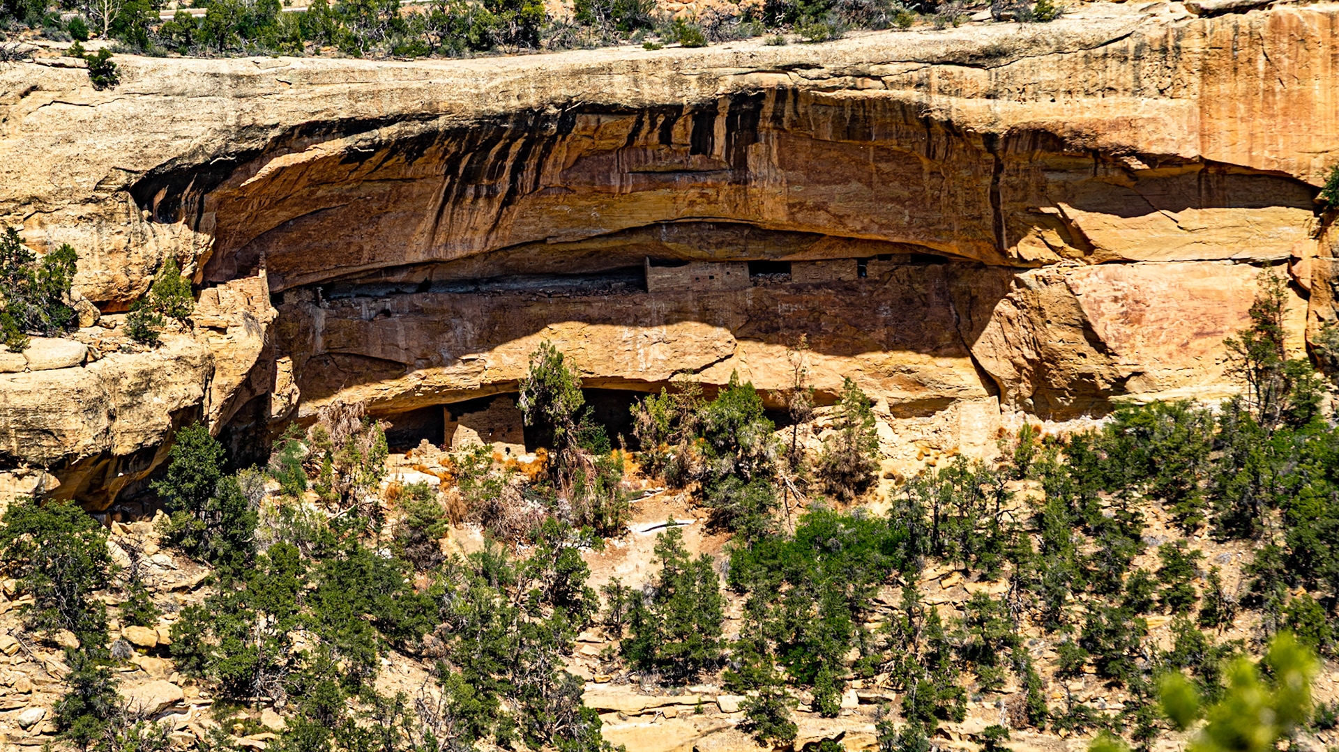
Oak Tree House, Mesa Verde National Park
Sun Temple View, Mesa Verde National Park
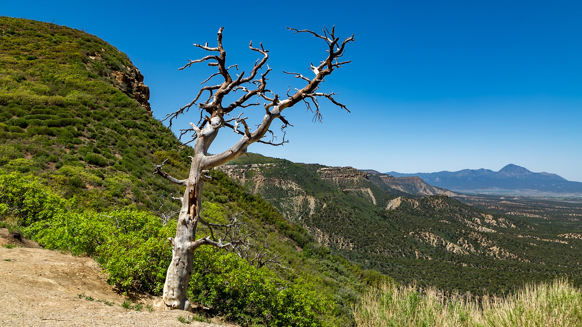
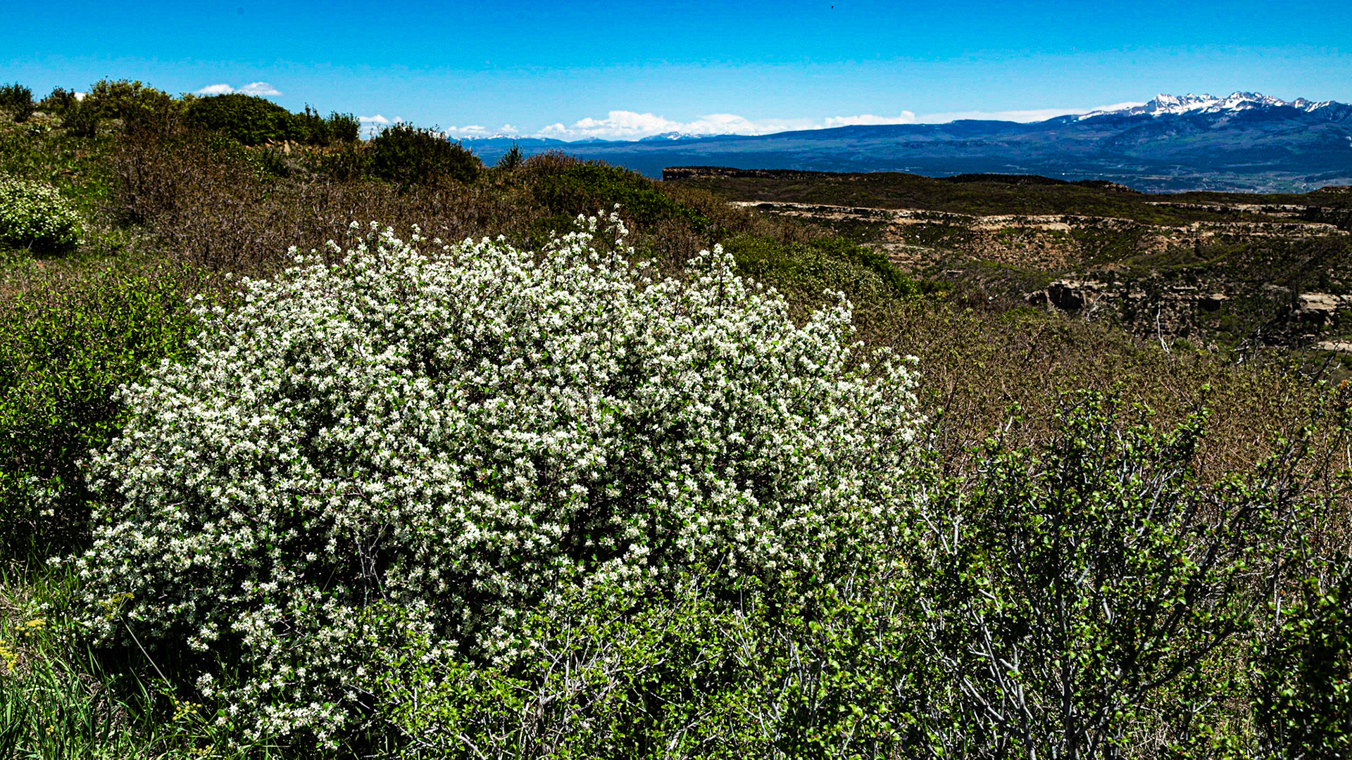
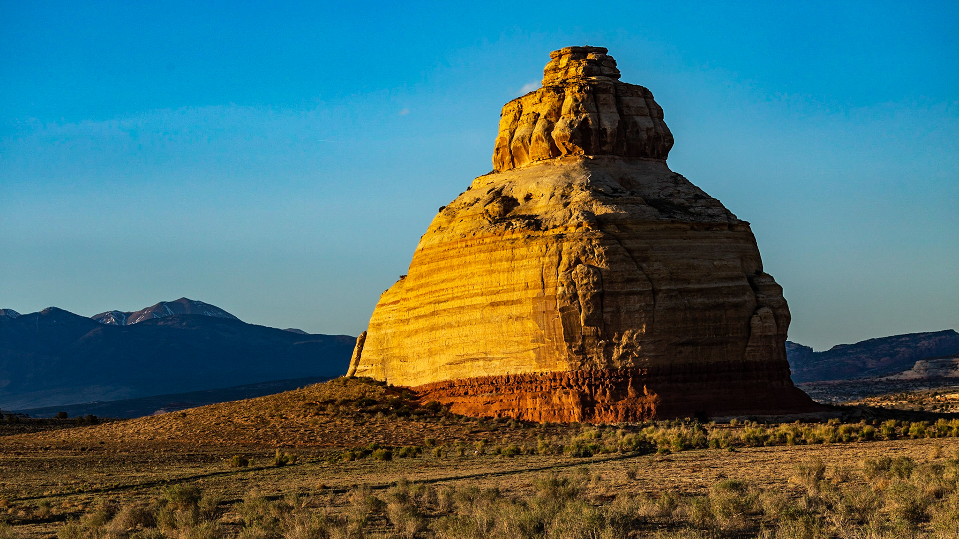
Formation along US Highway 191 near Monticello, Utah
Formation along US Highway 191 near Monticello, Utah
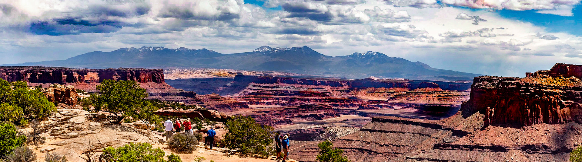
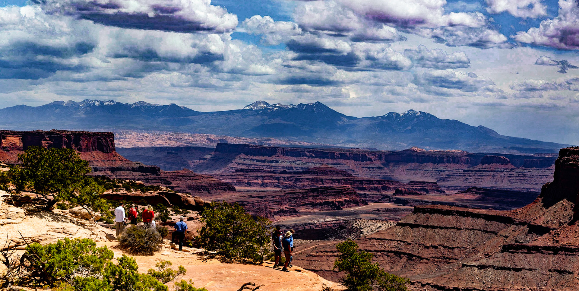
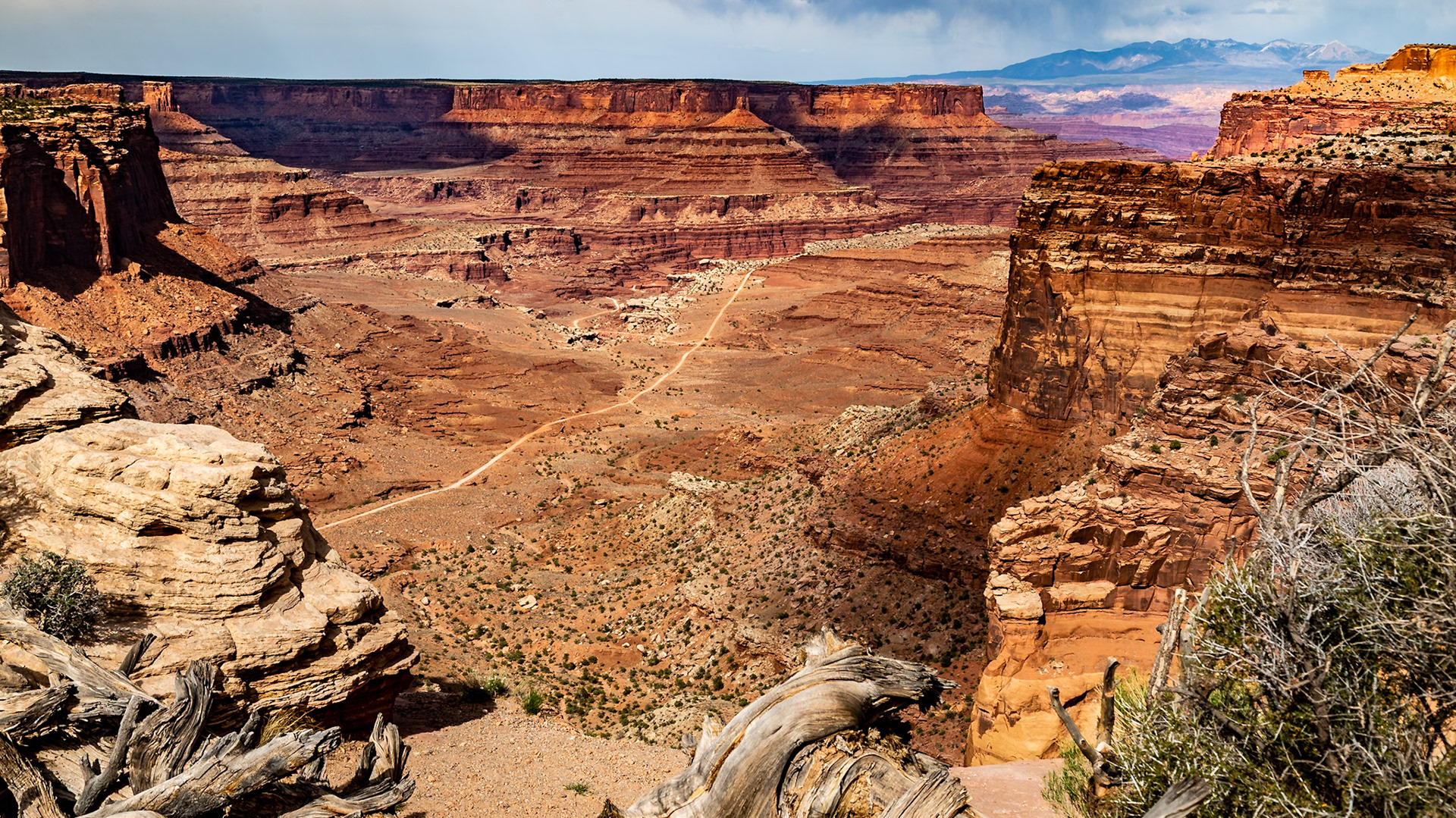
Island in the Sky Visitors Center View
Island in the Sky Visitors Center View
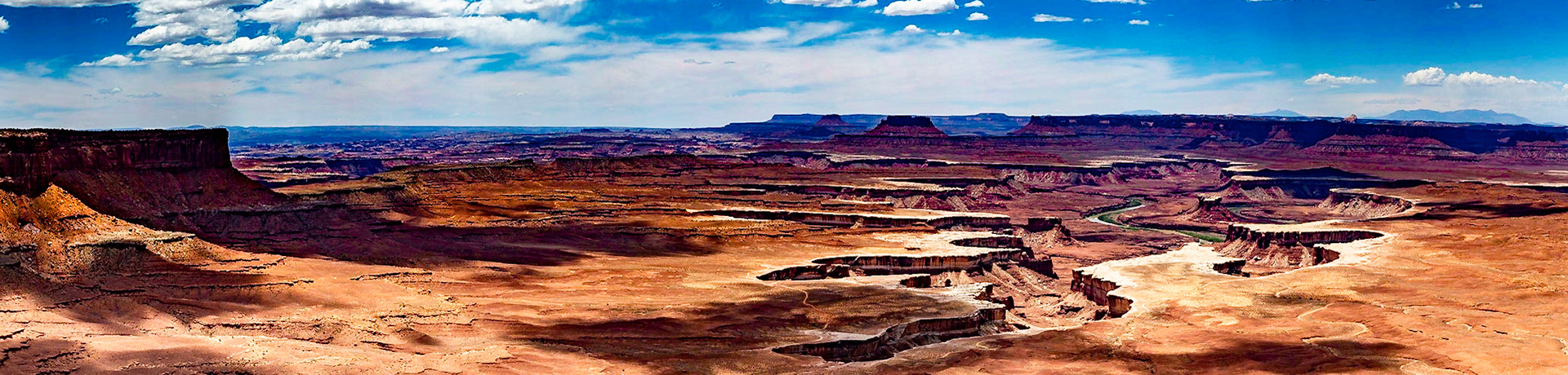
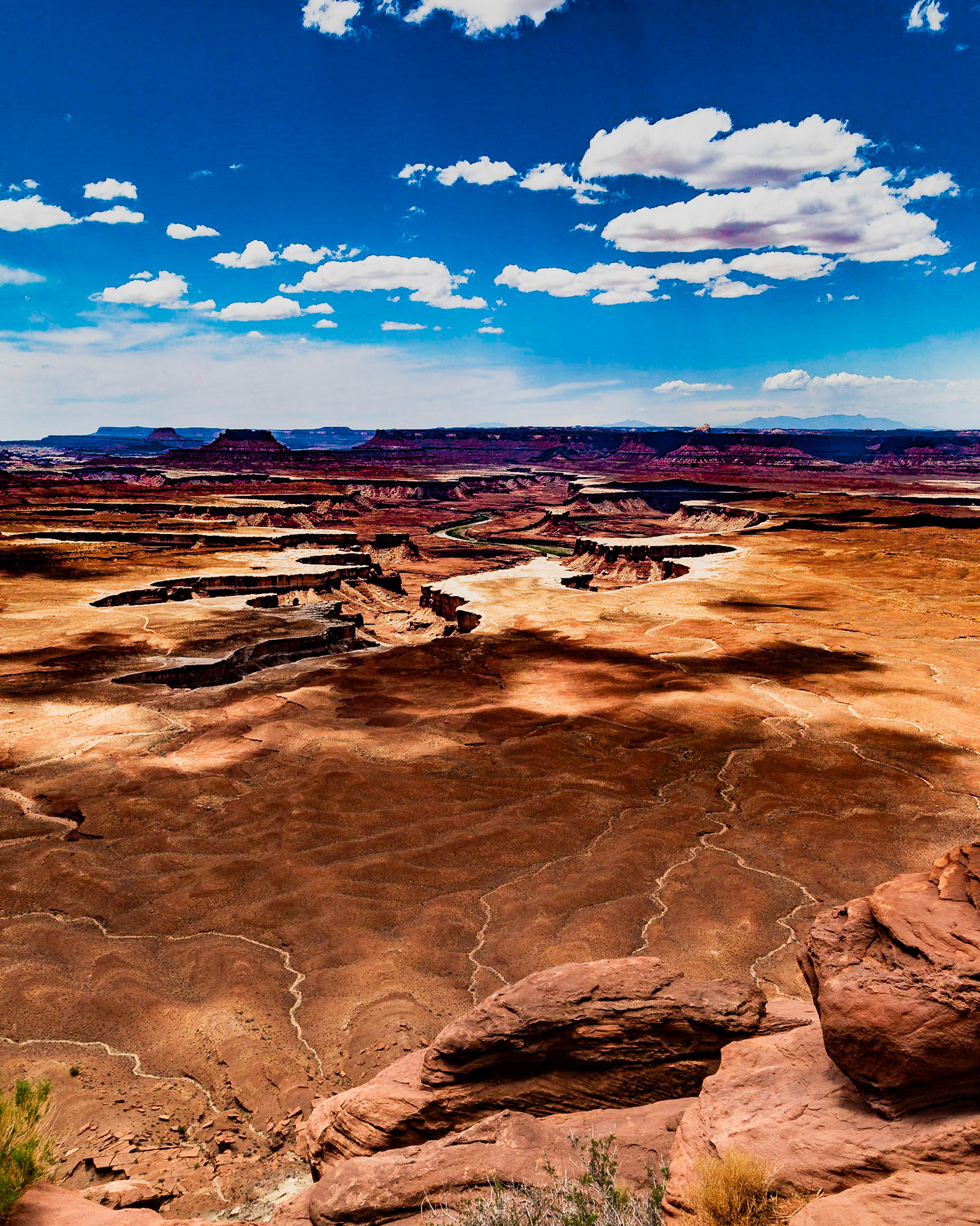
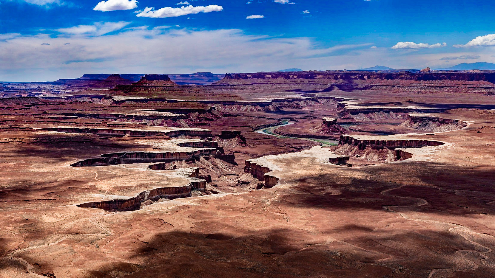
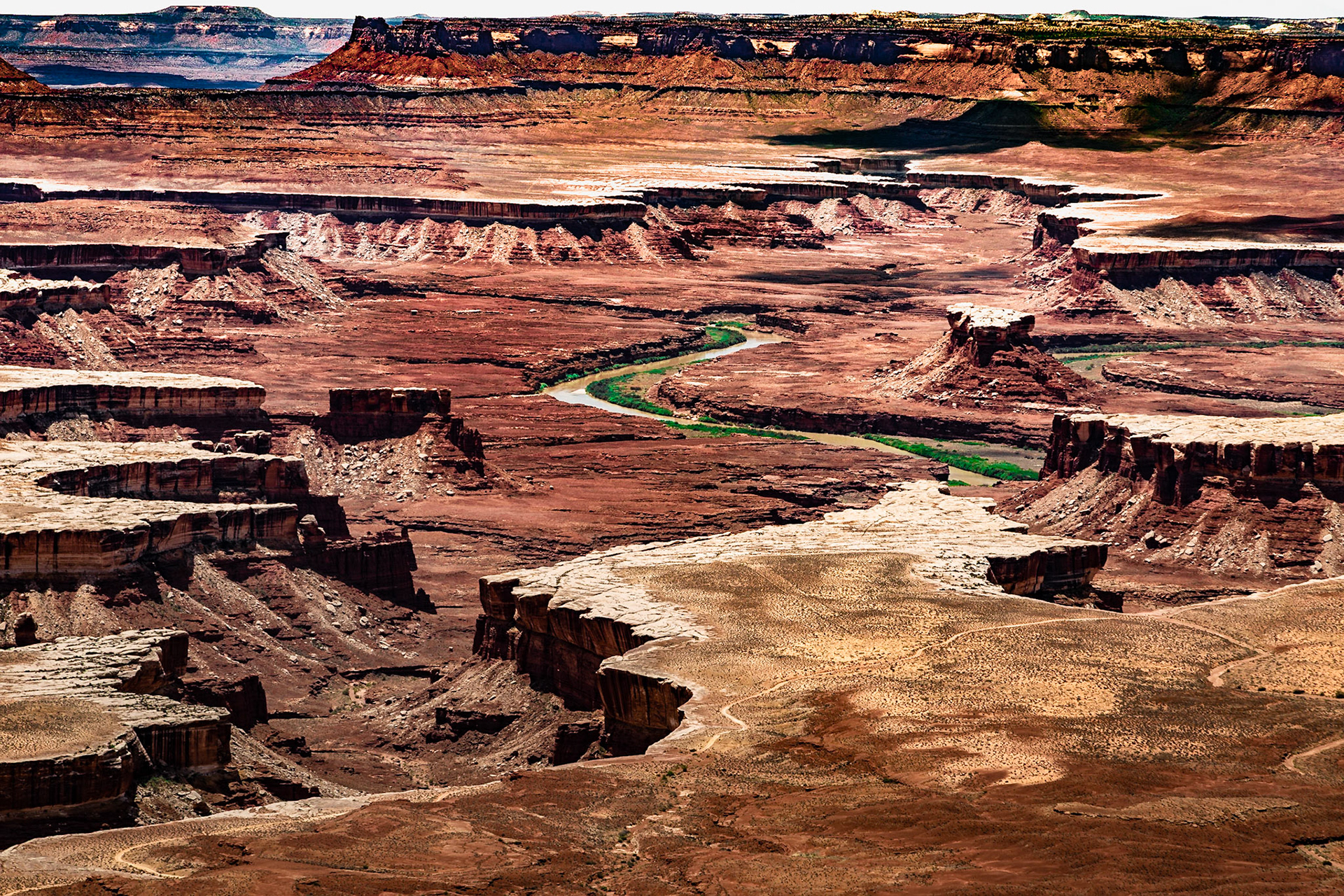
Green River Overlook, Canyonland National Park, May 17, 2021
Green River Overlook, Canyonland National Park, May 17, 2021
Green River Overlook, Canyonland National Park, May 17, 2021
Green River Overlook, Canyonland National Park, May 17, 2021
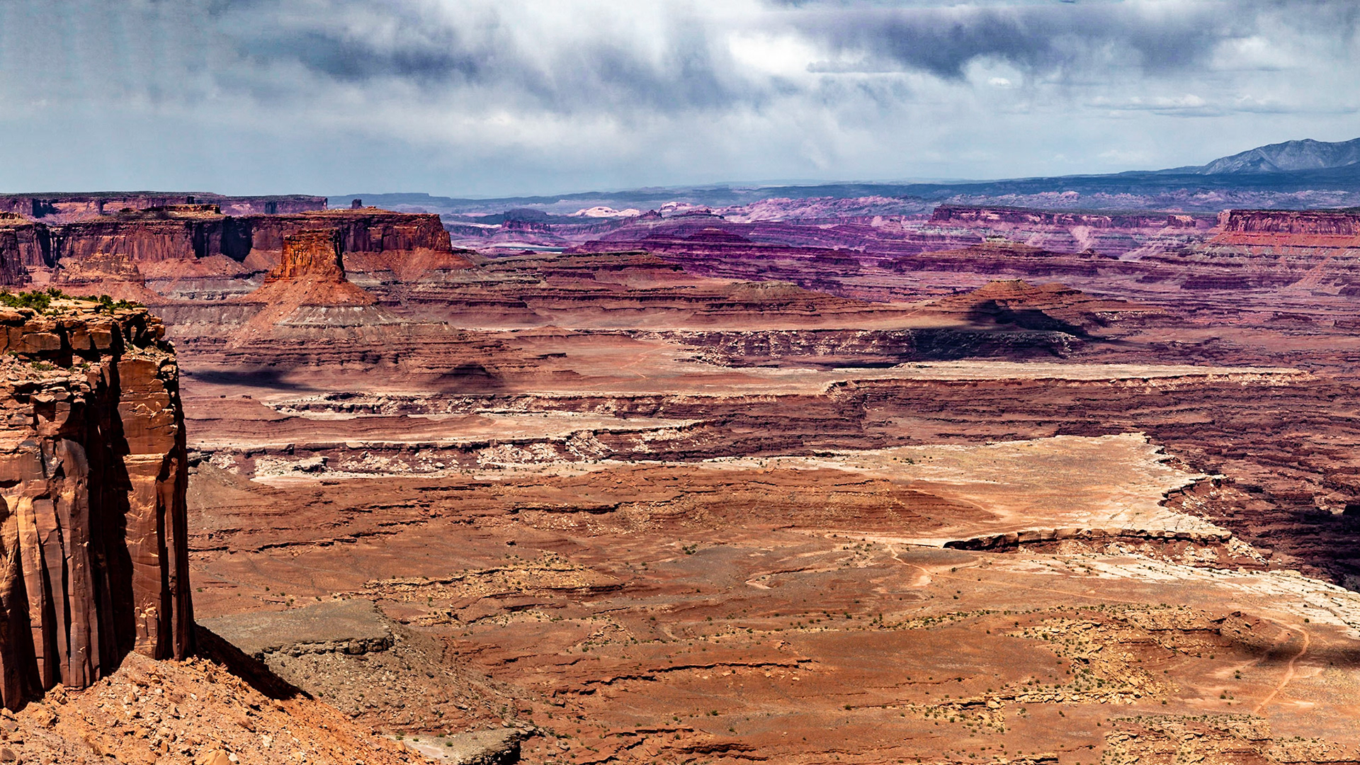
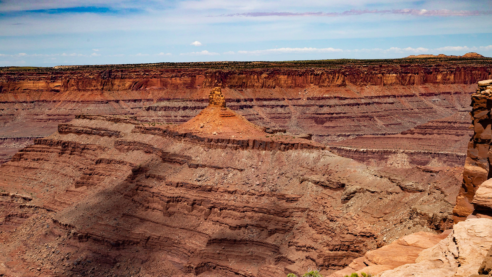
Buck Canyon Overlook, Canyonlands National Park, May 17, 2021
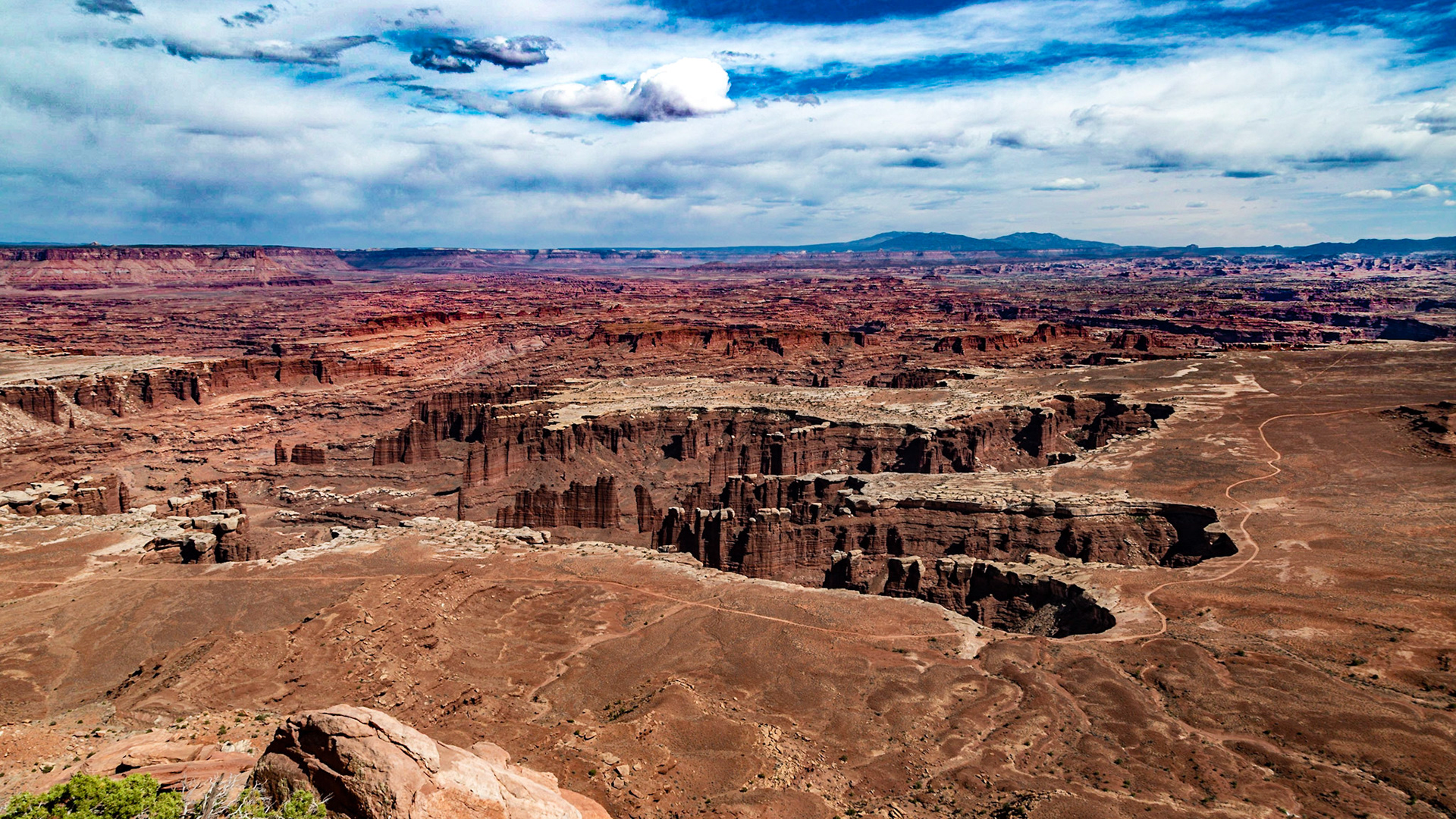
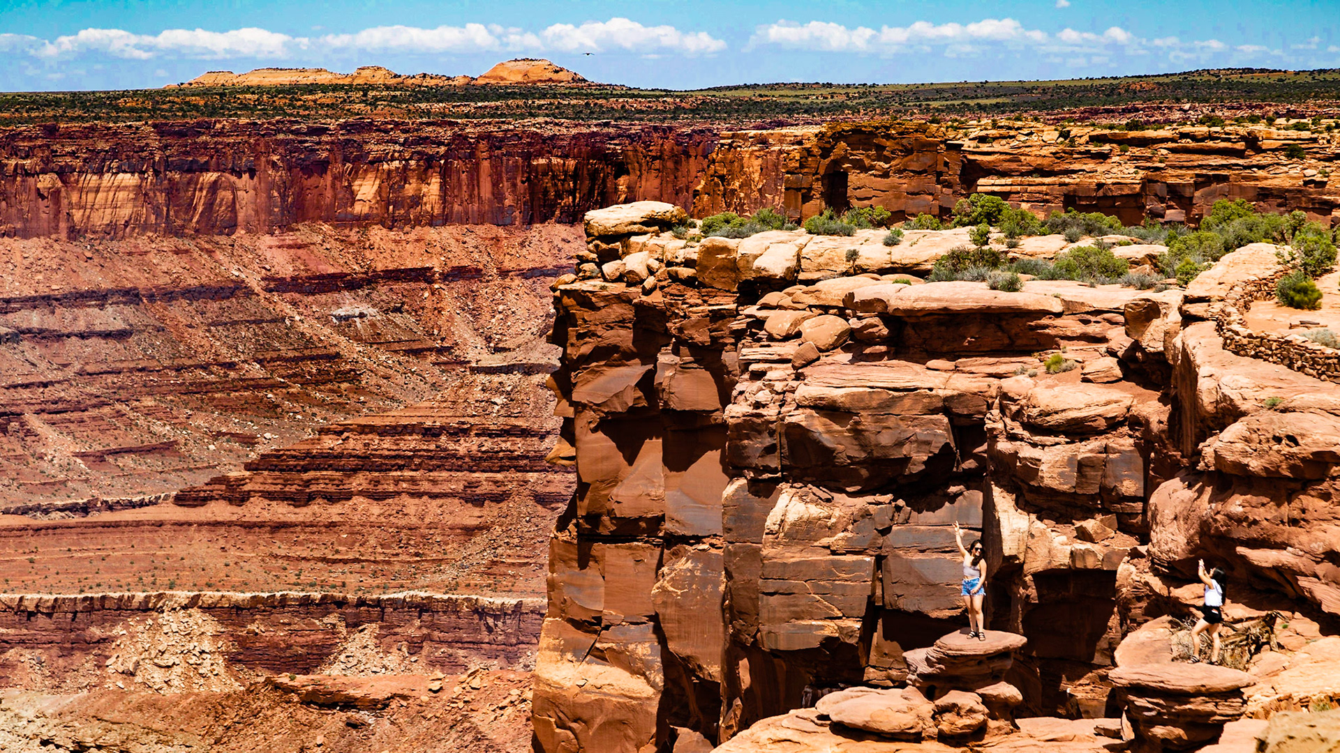
Grand View Point
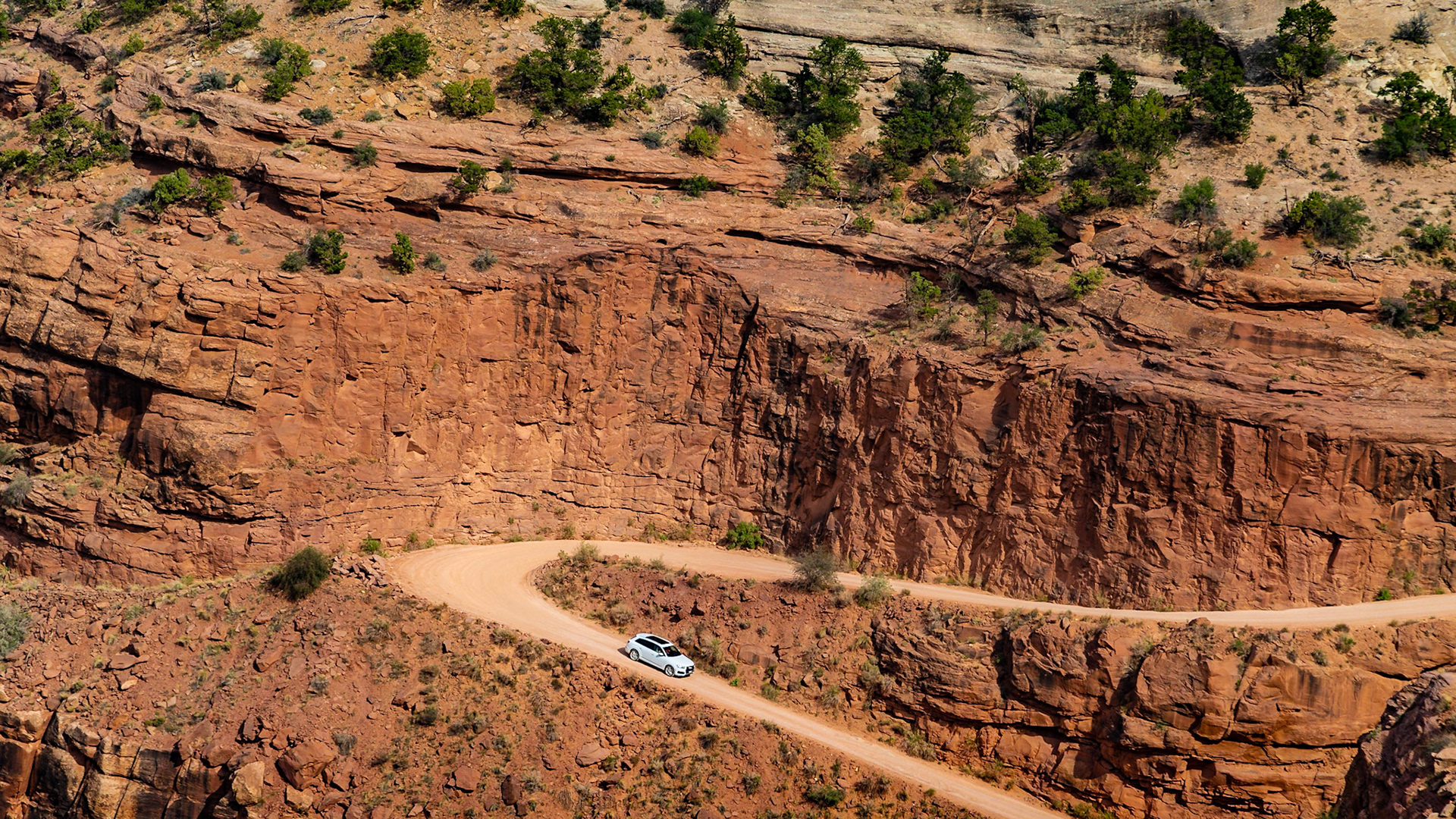
Shafer Road Overlook
Shafer Road Overlook
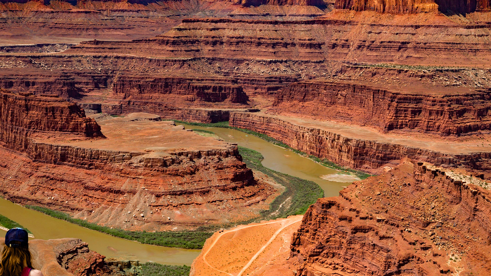
To get an idea of the scale, notice that there are two cars on the road at the bottom of the foreground cliff. One is yellow. The other has reds. From that level, there is another cliff rim high above the river.
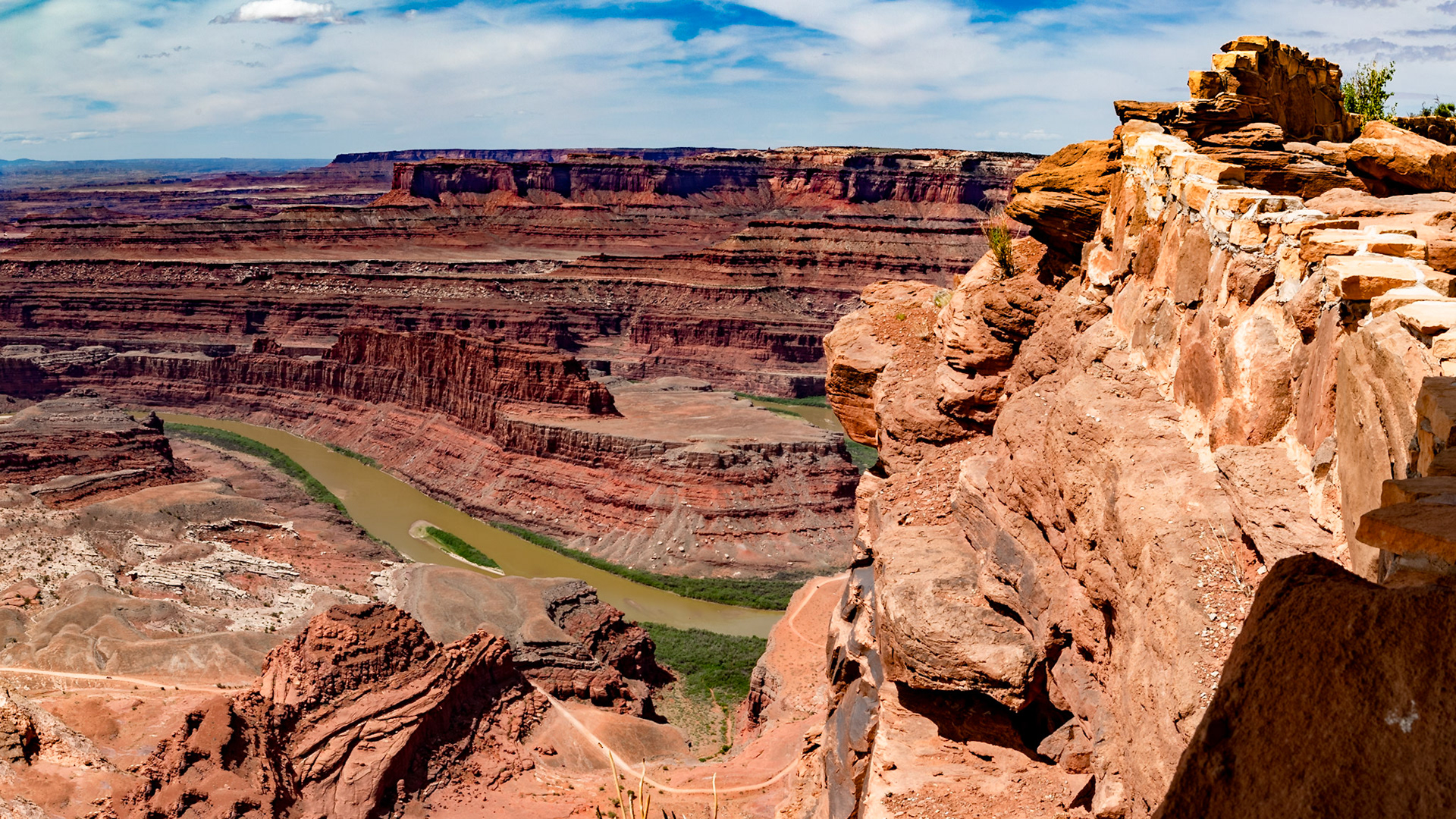
Dead Horse Point State Park
Colorado River from Dead Horse Point State Park
Dead Horse Point State Park
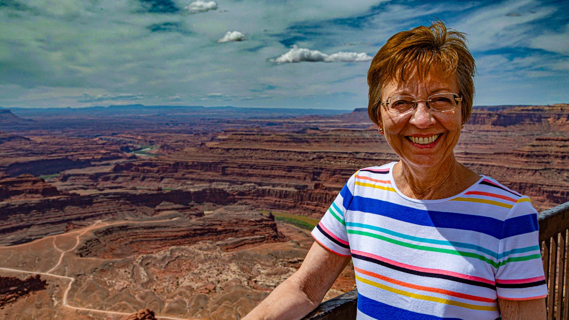
Christie at Dead Horse Point State Park
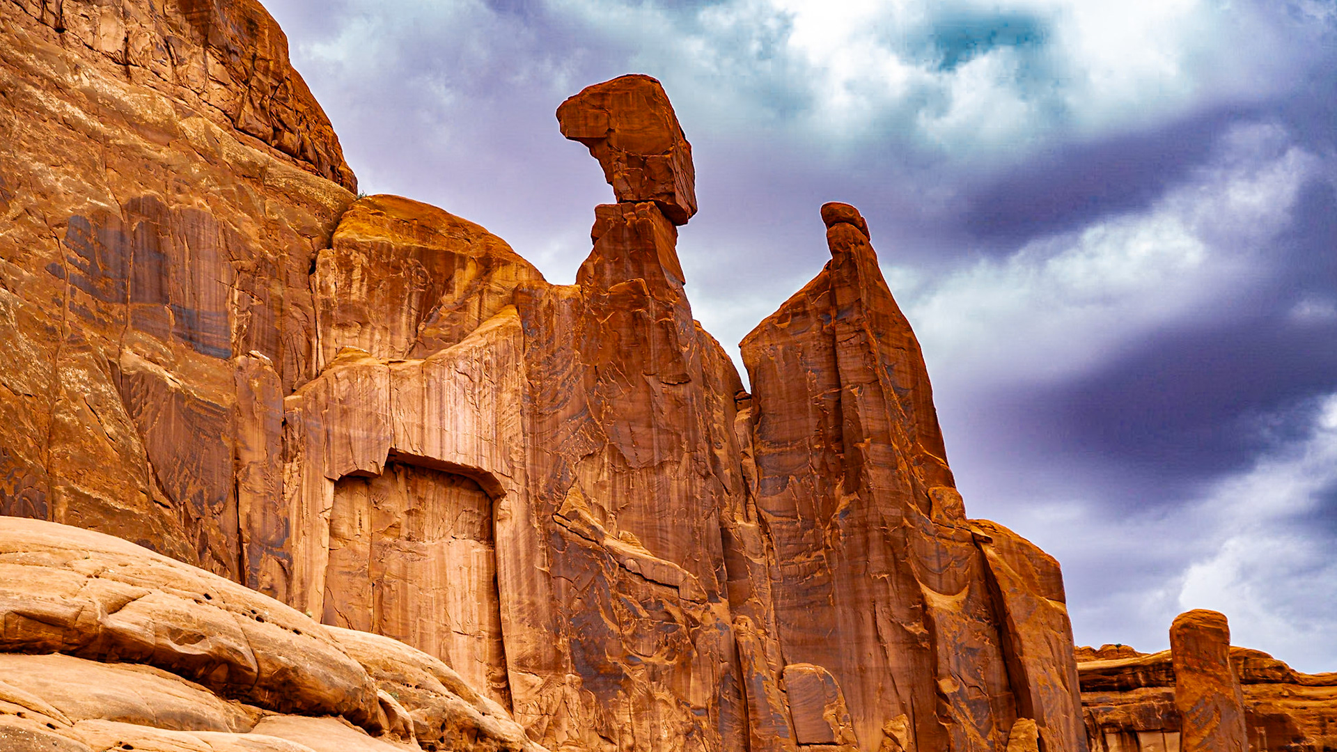
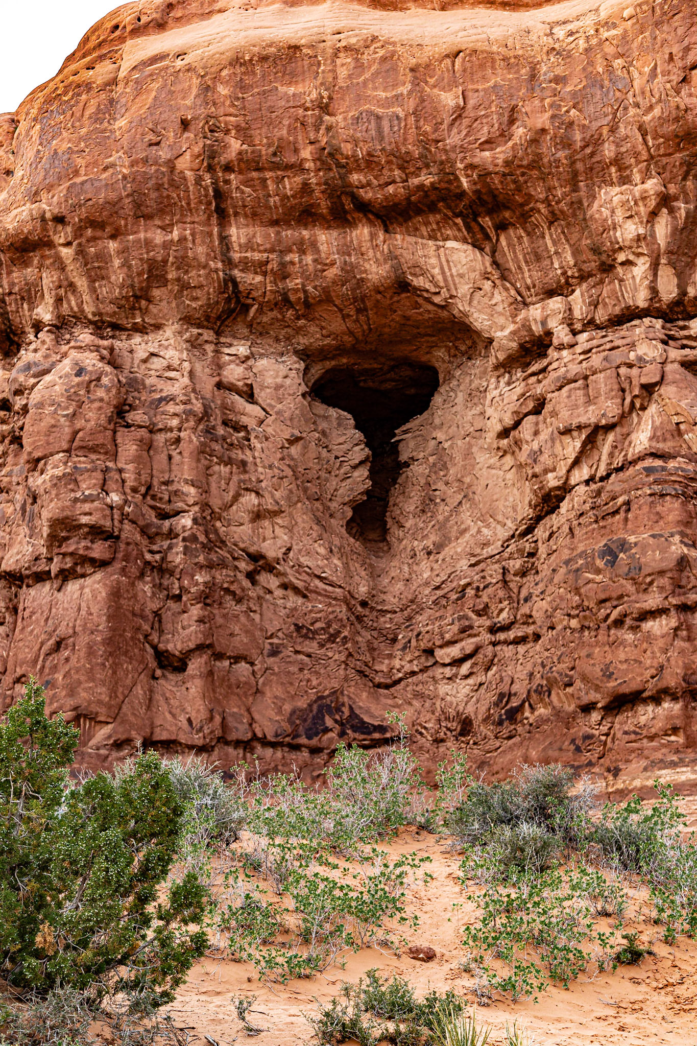
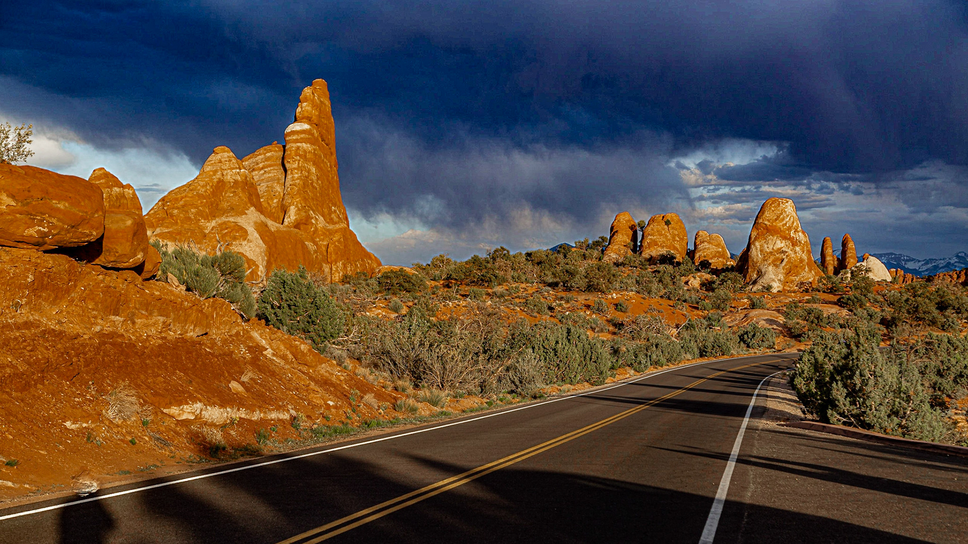
Formation with Garden of Eden and Windows Arches
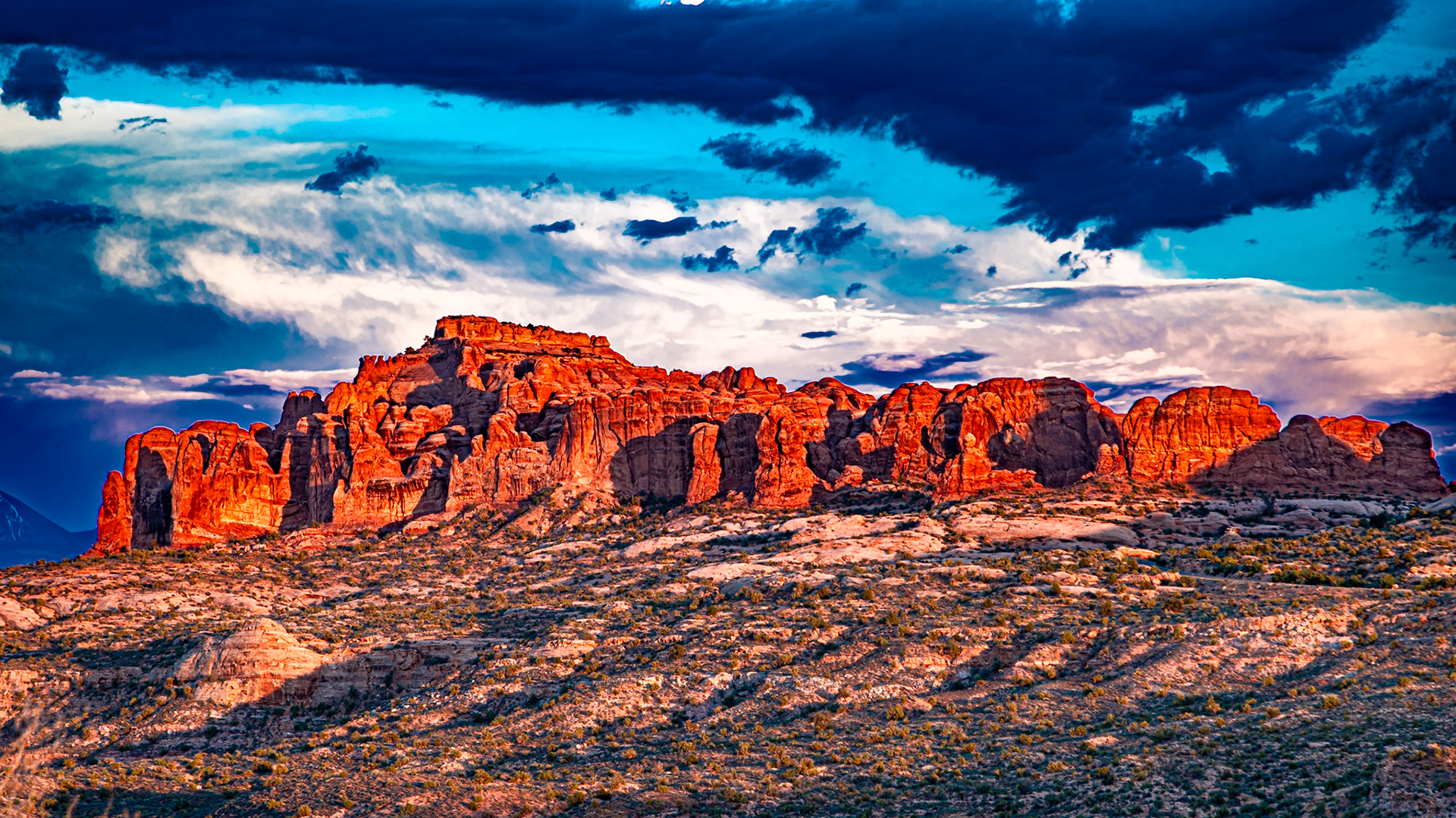
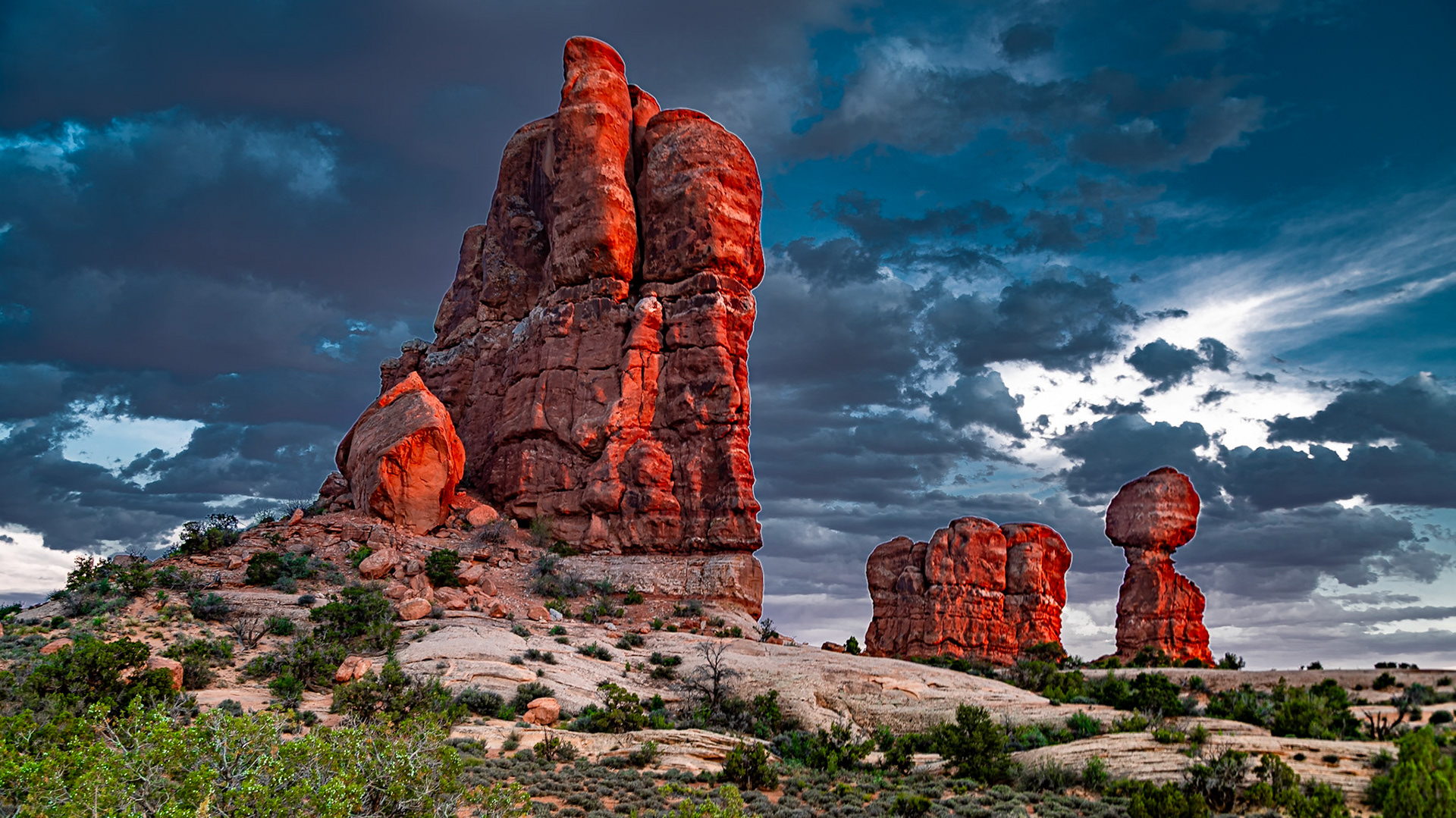
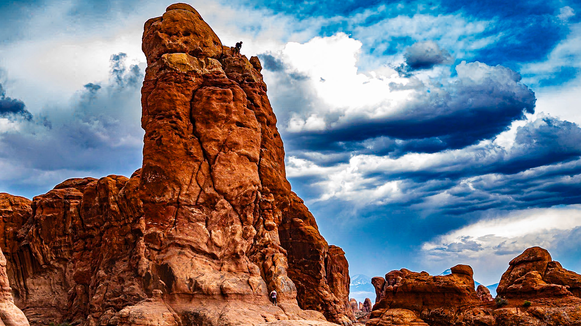
Balanced Rock and Friends
Sunset from Balanced Rock Trailhead
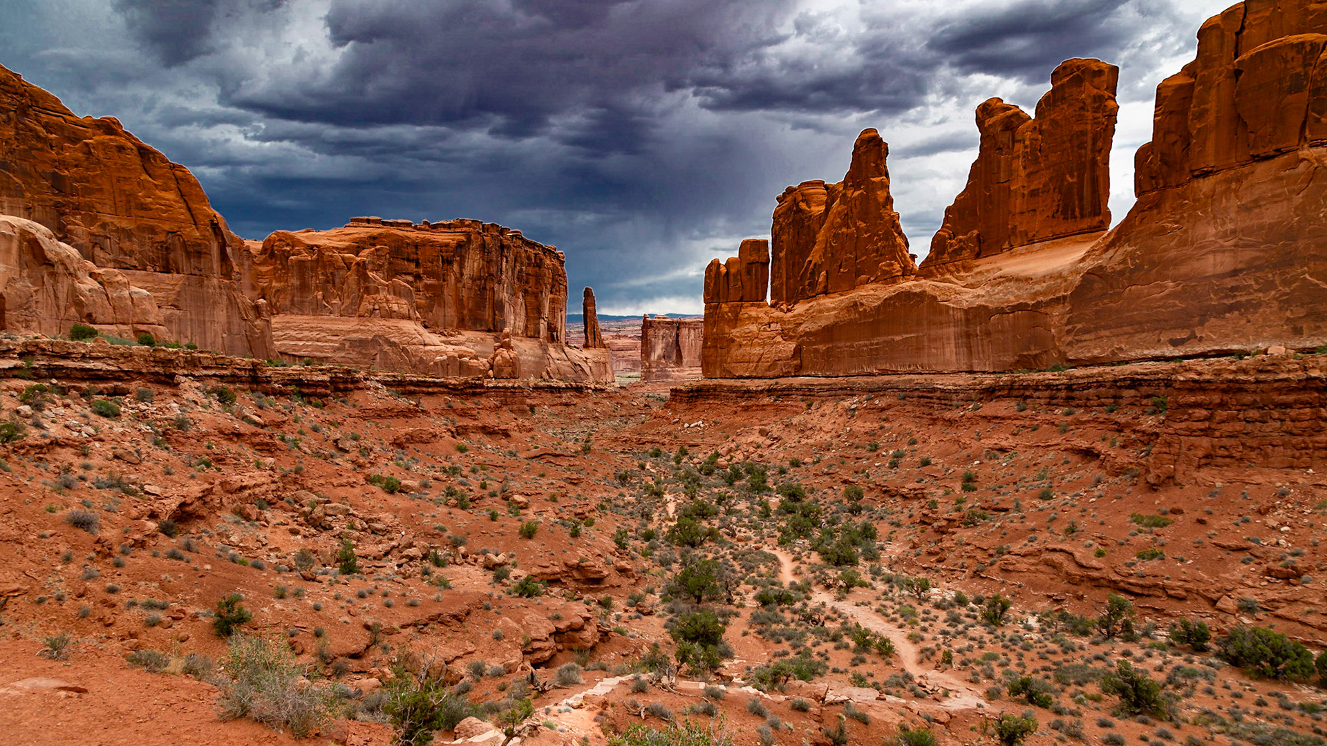
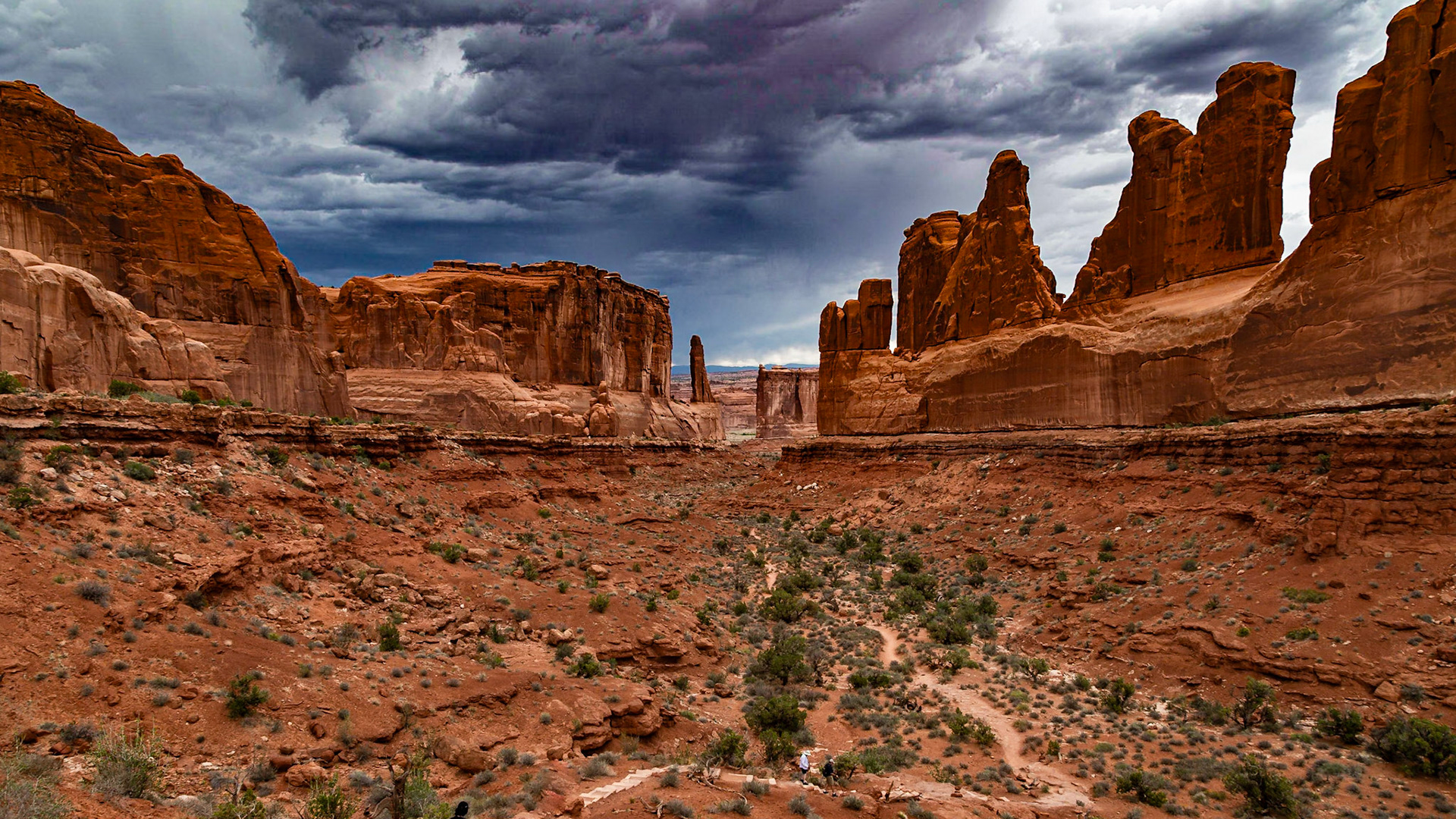
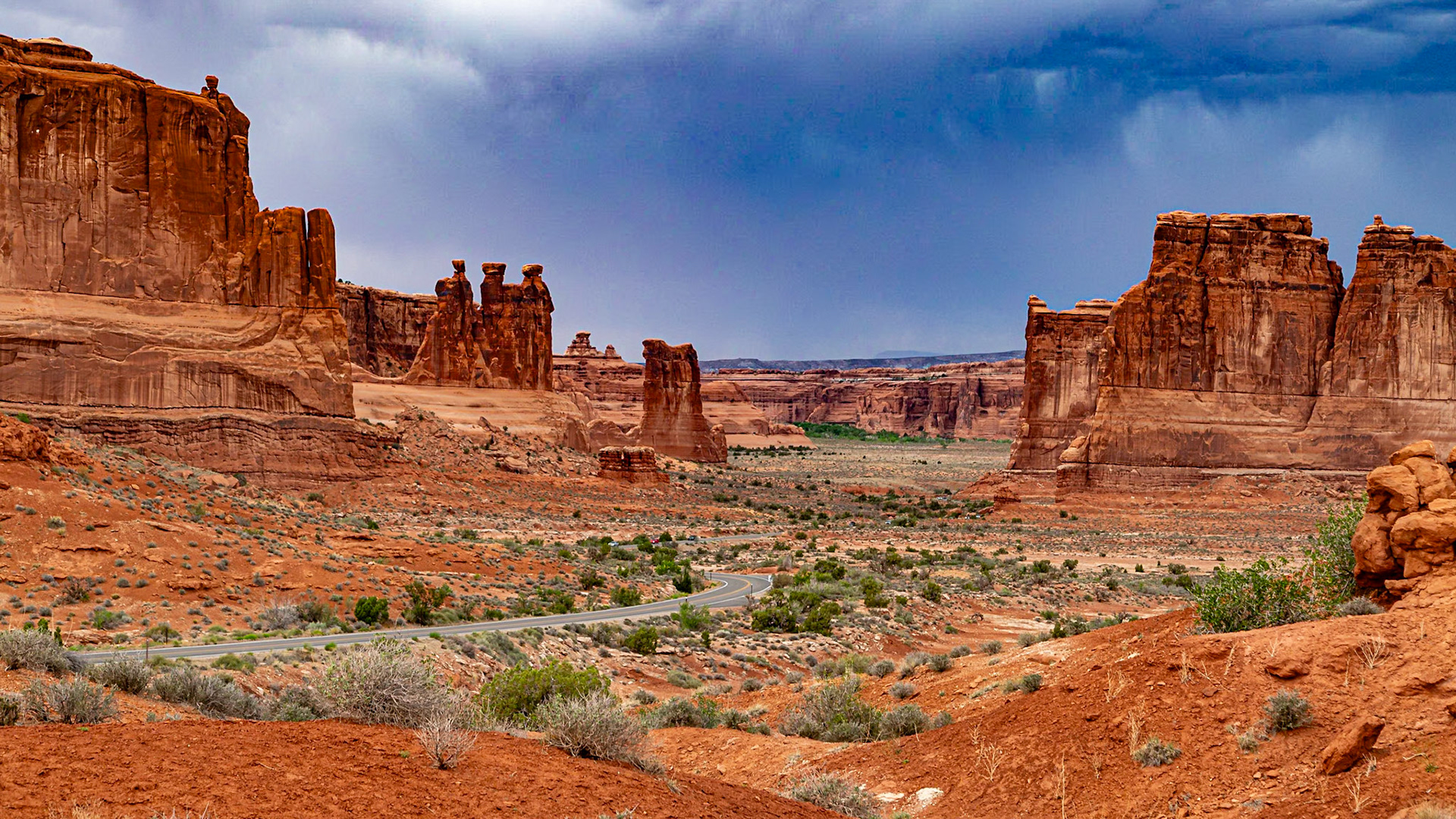
Park Avenue View - Early settlers thought these formations resembled tall buildings in a large city.
Park Avenue
I have forgotten the name of this balance rock formaiton.
La Sal Mountains View with Three Gossips - Left of center tere are three figures that resemble people in conversation.
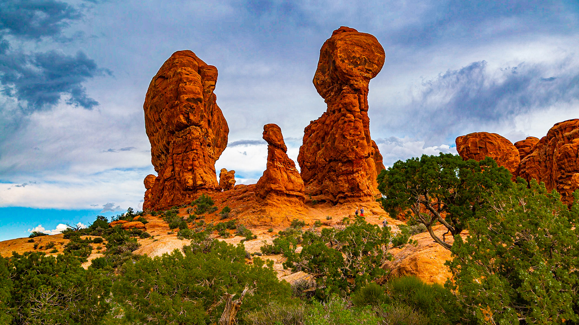
Garden of Eden Formations
A Couple Climbing a Formation in Garden of Eden
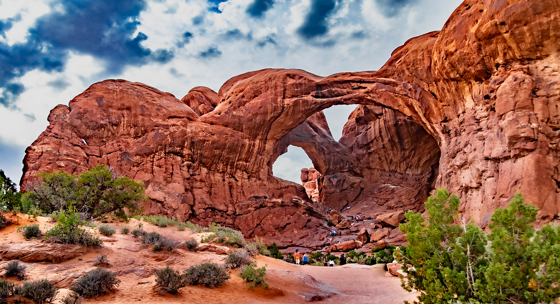
Double Arch
Near Double Arch
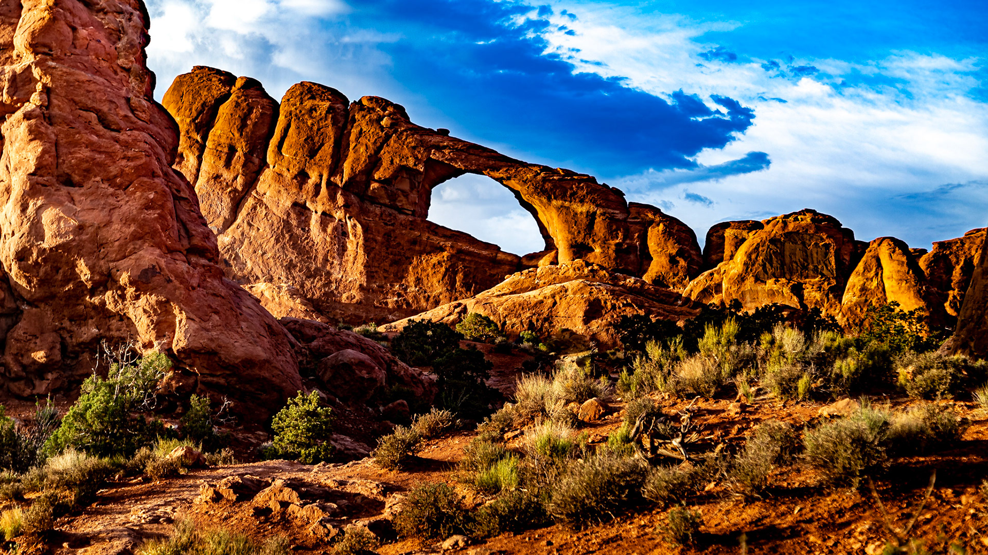
Skyline Arch
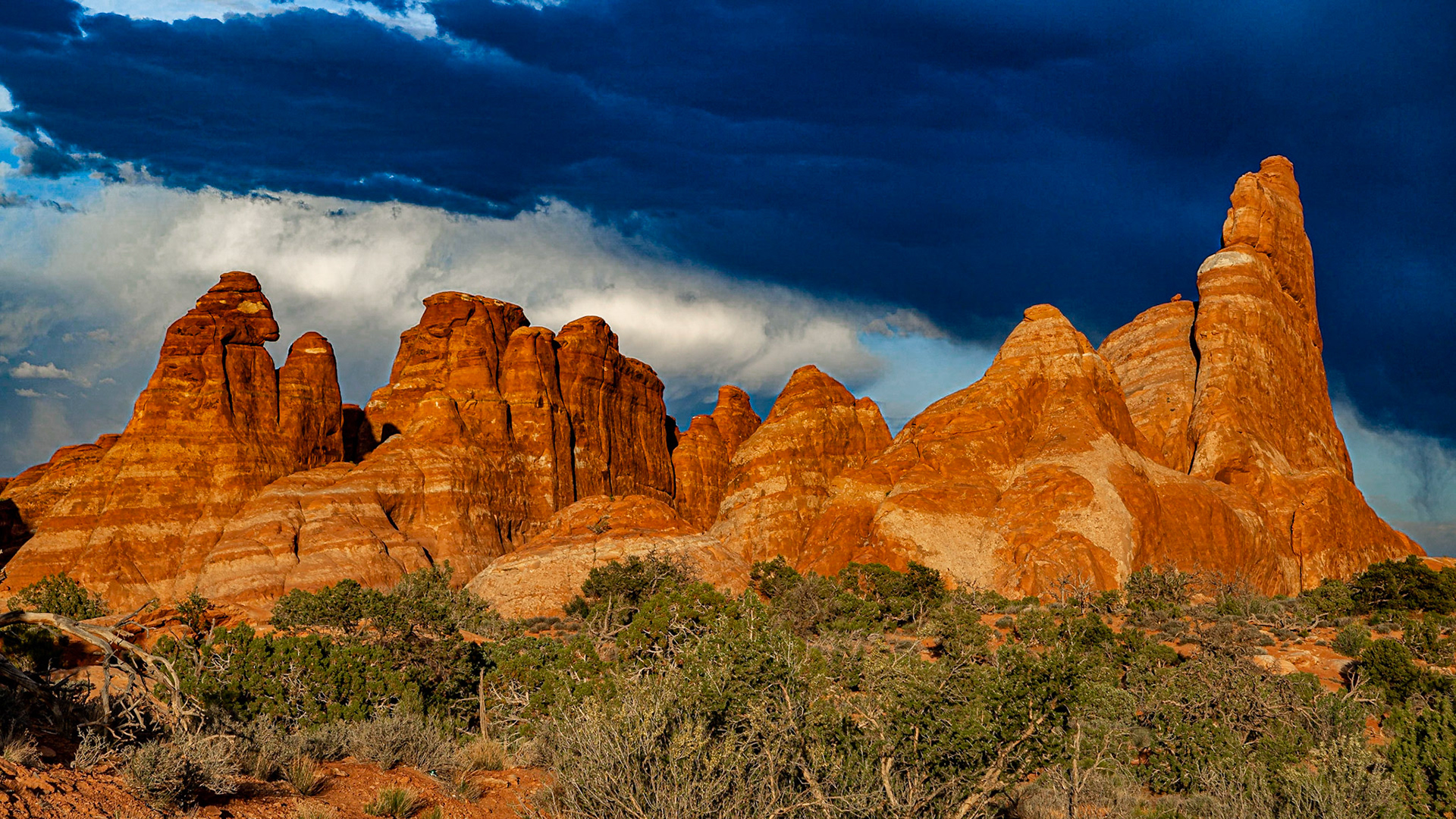
Devils Garden
Devils Garden Road
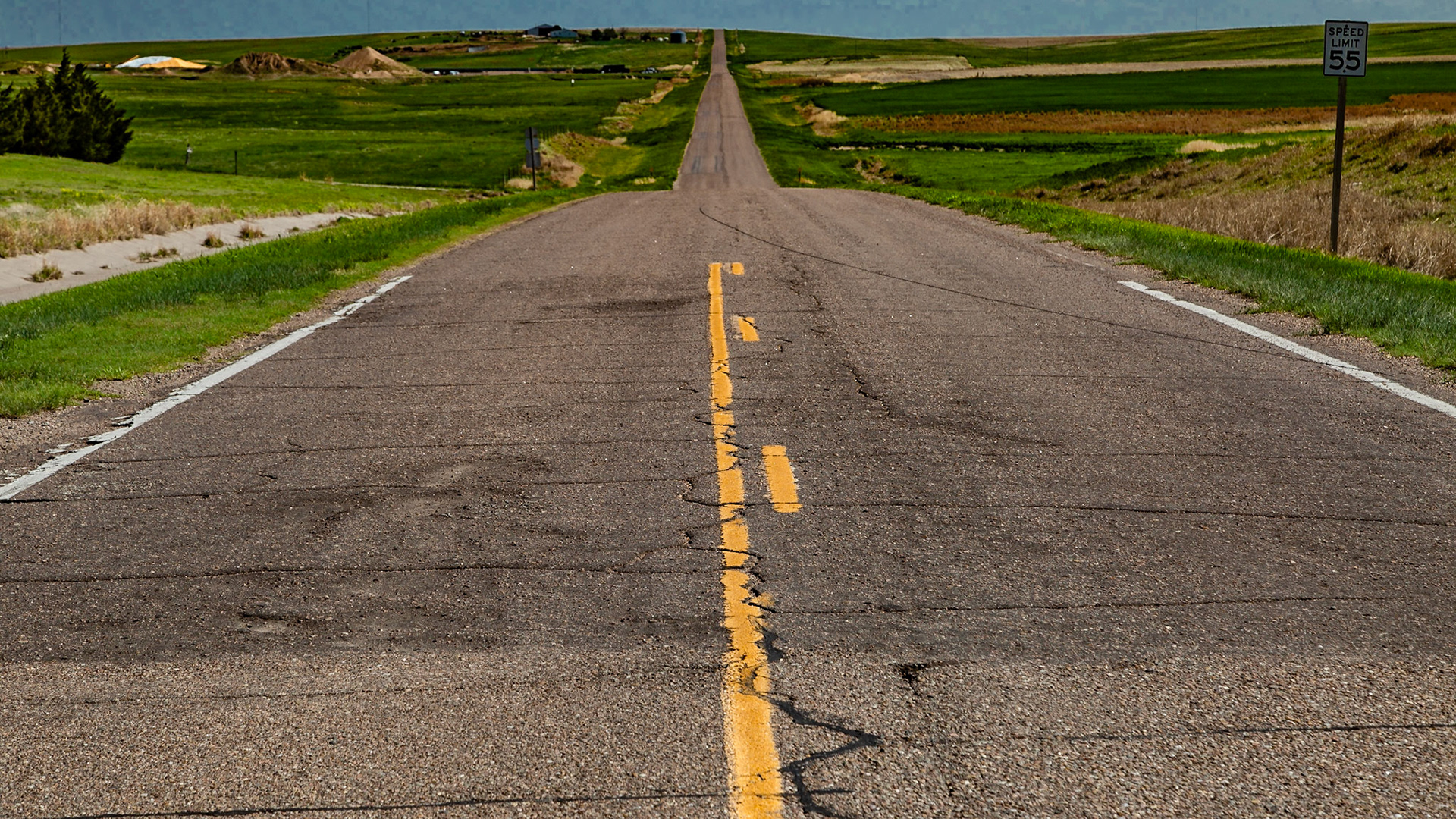
Highway 2 and Dwight D Eisenhower Highway I-70
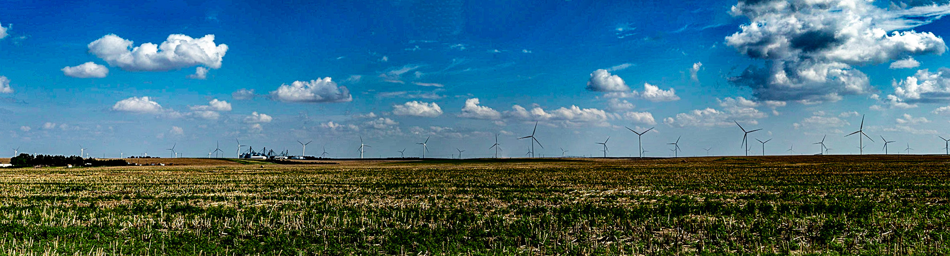
Wind Turbines were everywhere.
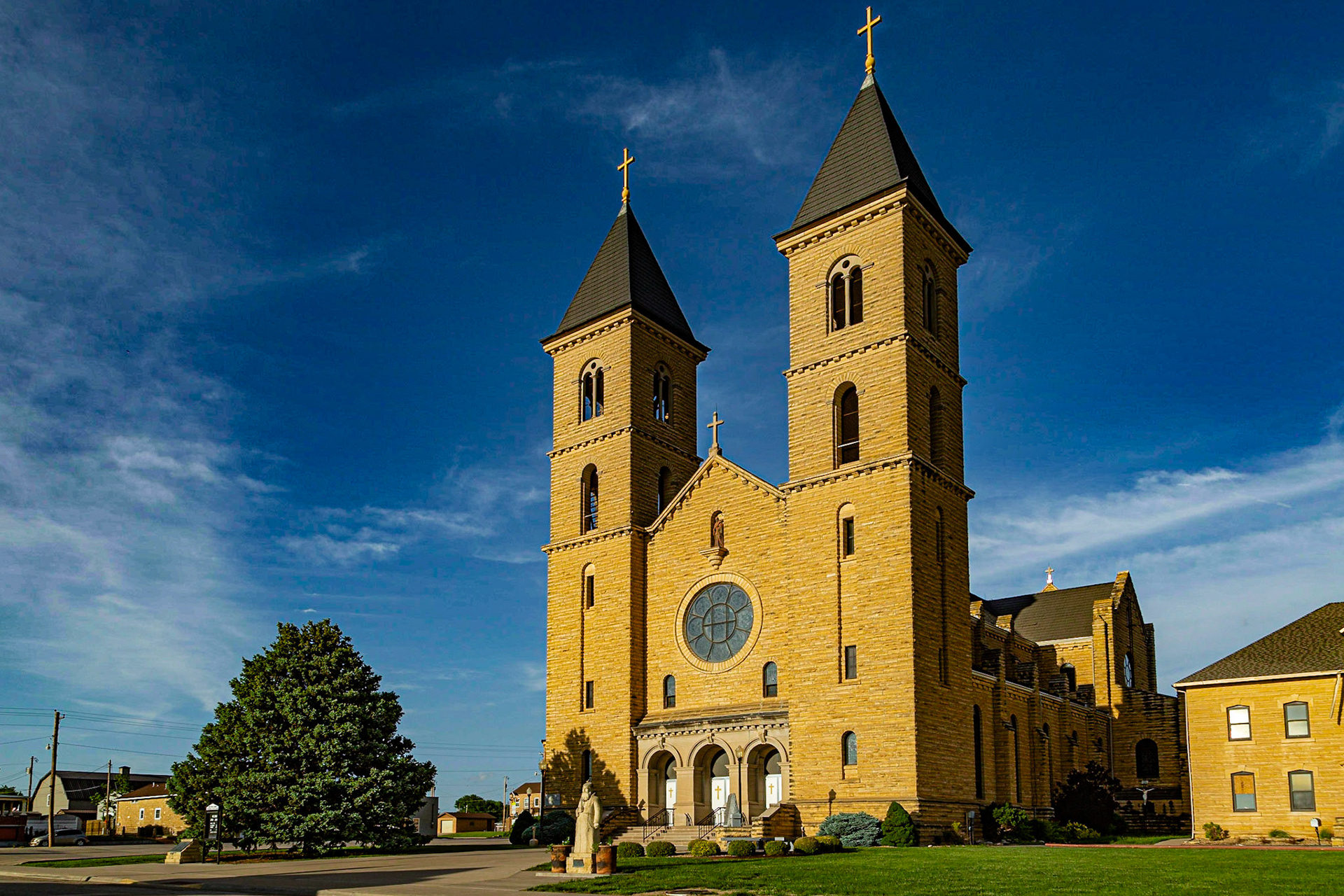
Victoria Populathon in 2018 - 1220.
Victoria Populathon in 2018 - 1220.
Victoria Populated z5,, zhon in 2018 - 1220.
Victoria Populathon in 2018 - 1220.
Victoria Populathon in 2018 - 1220.
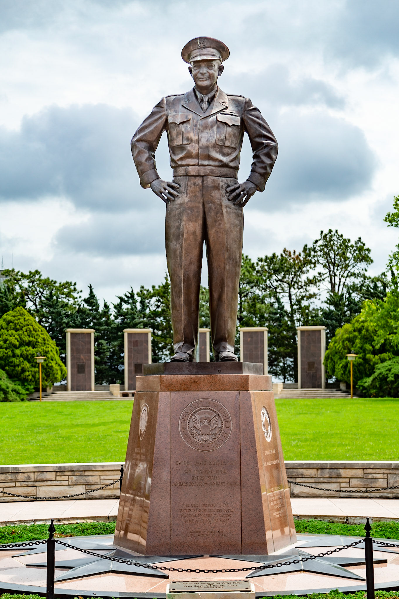
Dwight D. Eisenhower Presidential Library and Musum
Dwight D. Eisenhower Presidential Library and Musum
Dwight D. Eisenhower Presidential Library and Musum - As a kid, I remember my father saying he had been a Democrat all his life, but he was going to vote for Eisenhower because he believed it would be best for the country. Sometime later, maybe several times, I asked why we need two political parties. I never got an answer that made sense to me - from Dad or anyone else. I eventually determined that I was not going to affiliate with any pollical party. I never have, although I have often had the sense that people around me thought I had. My presidential elections record is my evidence, including two independent candidates - when I believed an independent candidate might actually demonstrate meaningful strength. I have always had reasons that made sense for me at the time. In retrospect, I see that some of my votes were based on faulty information and/or assumptions. Nevertheless, I endeavor to remember Dad saying he believed Eisenhower would be best for the country.
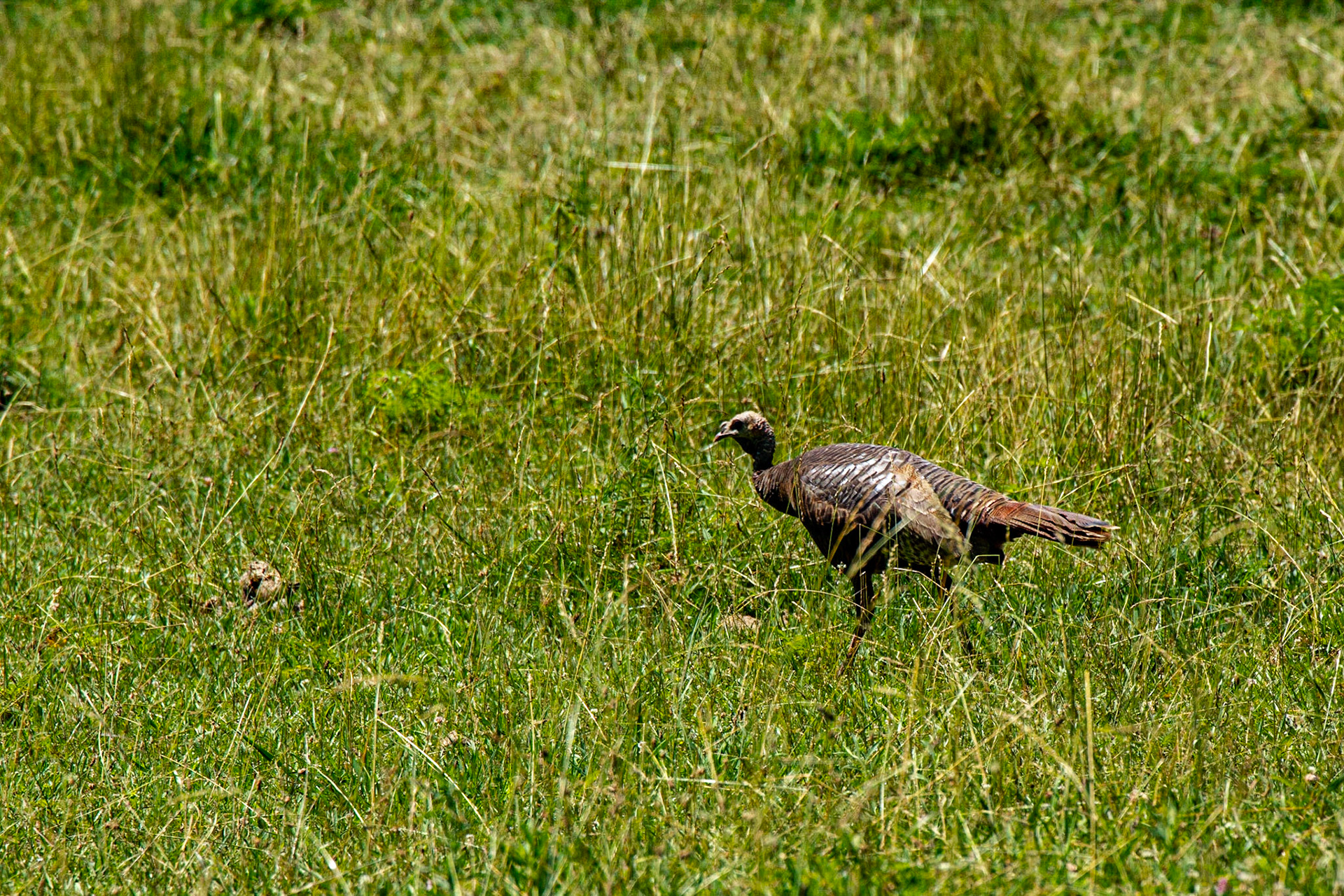
Turkey
It was a great day in Chuck Swan Wildlife Management Area with Mark Lewis. On the way there, the old A.T. Cole Store was open. We met a gentleman there who knew the Mark Lewis who was my father and Mark's grandfather. We could mention others we both have known from my high school days.
It was a great day in Chuck Swan Wildlife Management Area with Mark Lewis. On the way there, the old A.T. Cole Store was open. We met a gentleman there who knew the Mark Lewis who was my father and Mark's grandfather. We could mention others we both have known from my high school days.
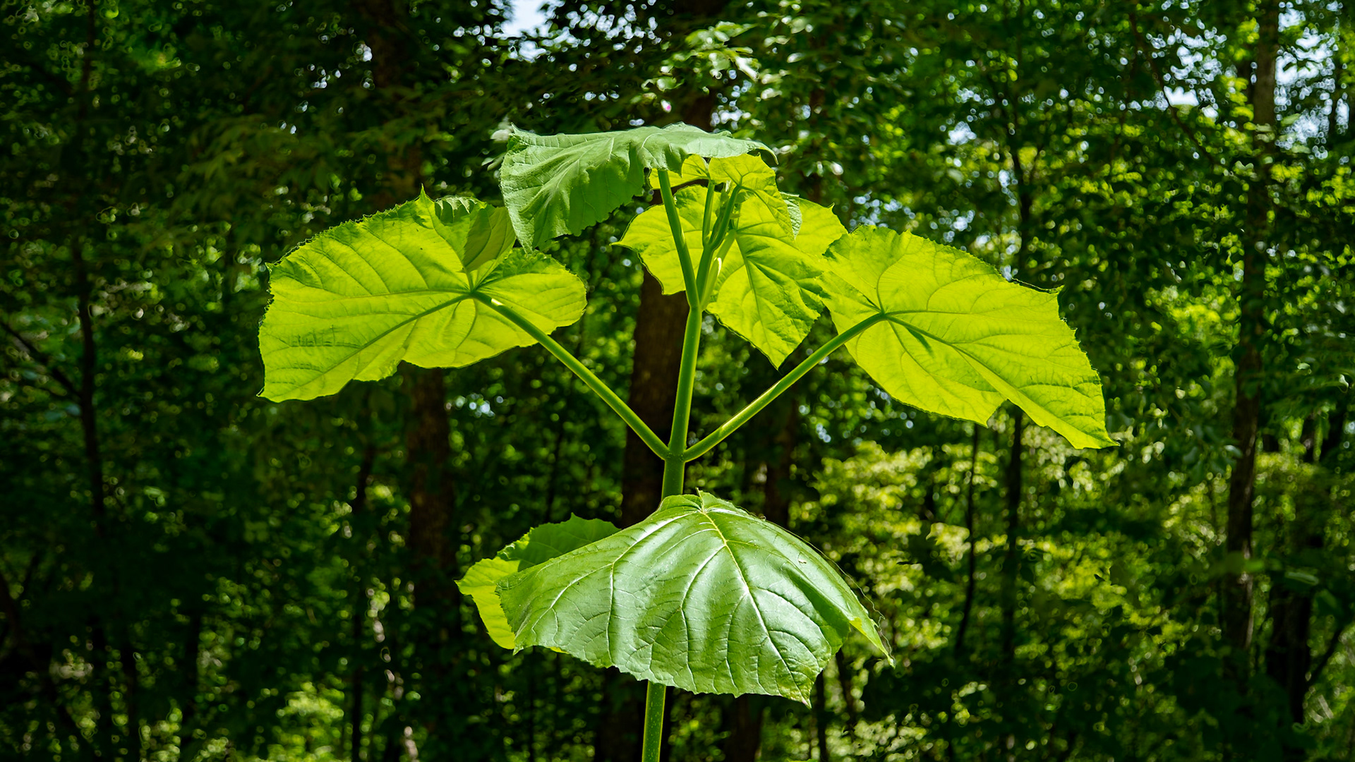
It was a great day in Chuck Swan Wildlife Management Area with Mark Lewis. On the way there, the old A.T. Cole Store was open. We met a gentleman there who knew the Mark Lewis who was my father and Mark's grandfather. We could mention others we both have known from my high school days. When I was a kid, this plant was called Elephant Ears.
Eating dinner tonight, Granddaughter Sophia saw this guy coming through our yard. Thank you Danielle Dixon and Coit Dixon for letting her visit us this week.
Allen Kirby Road near Knox County Line
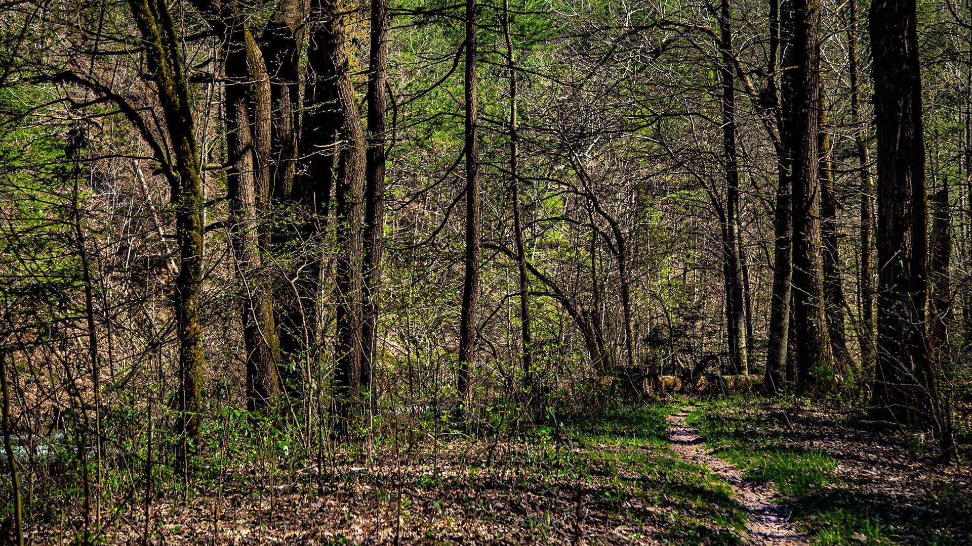
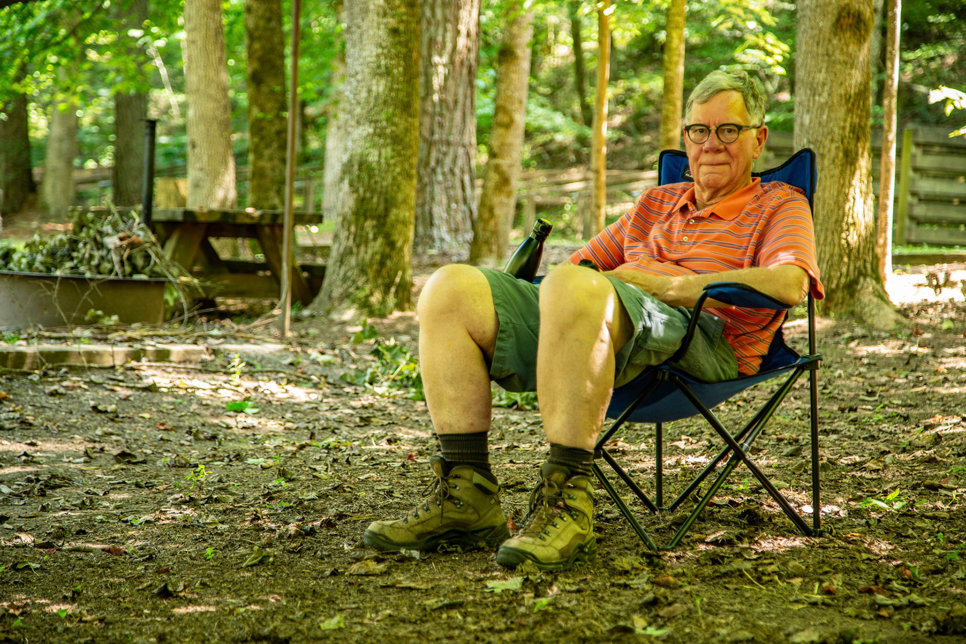
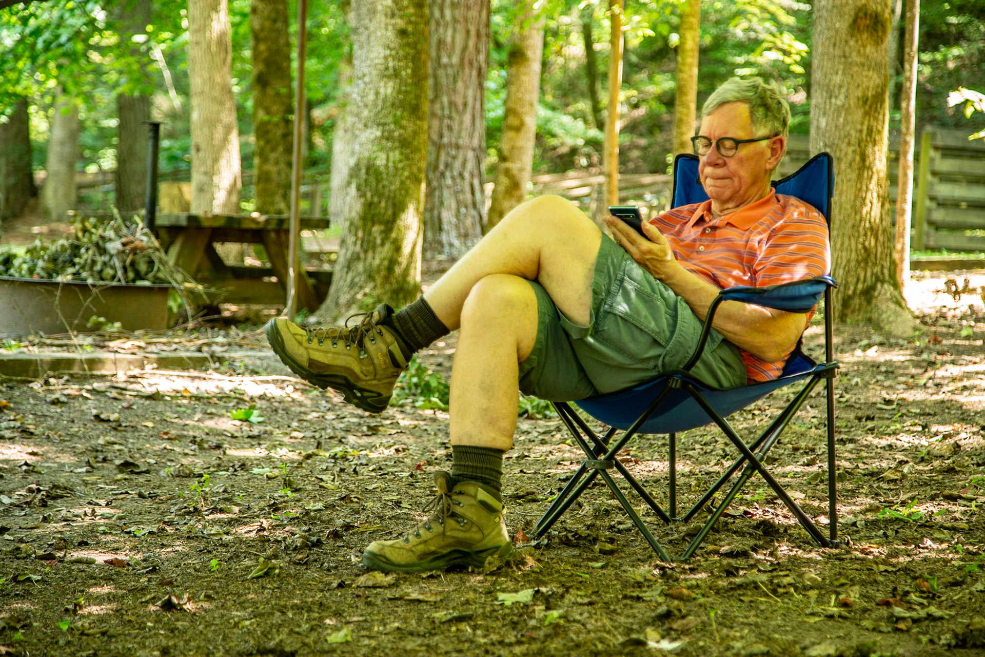
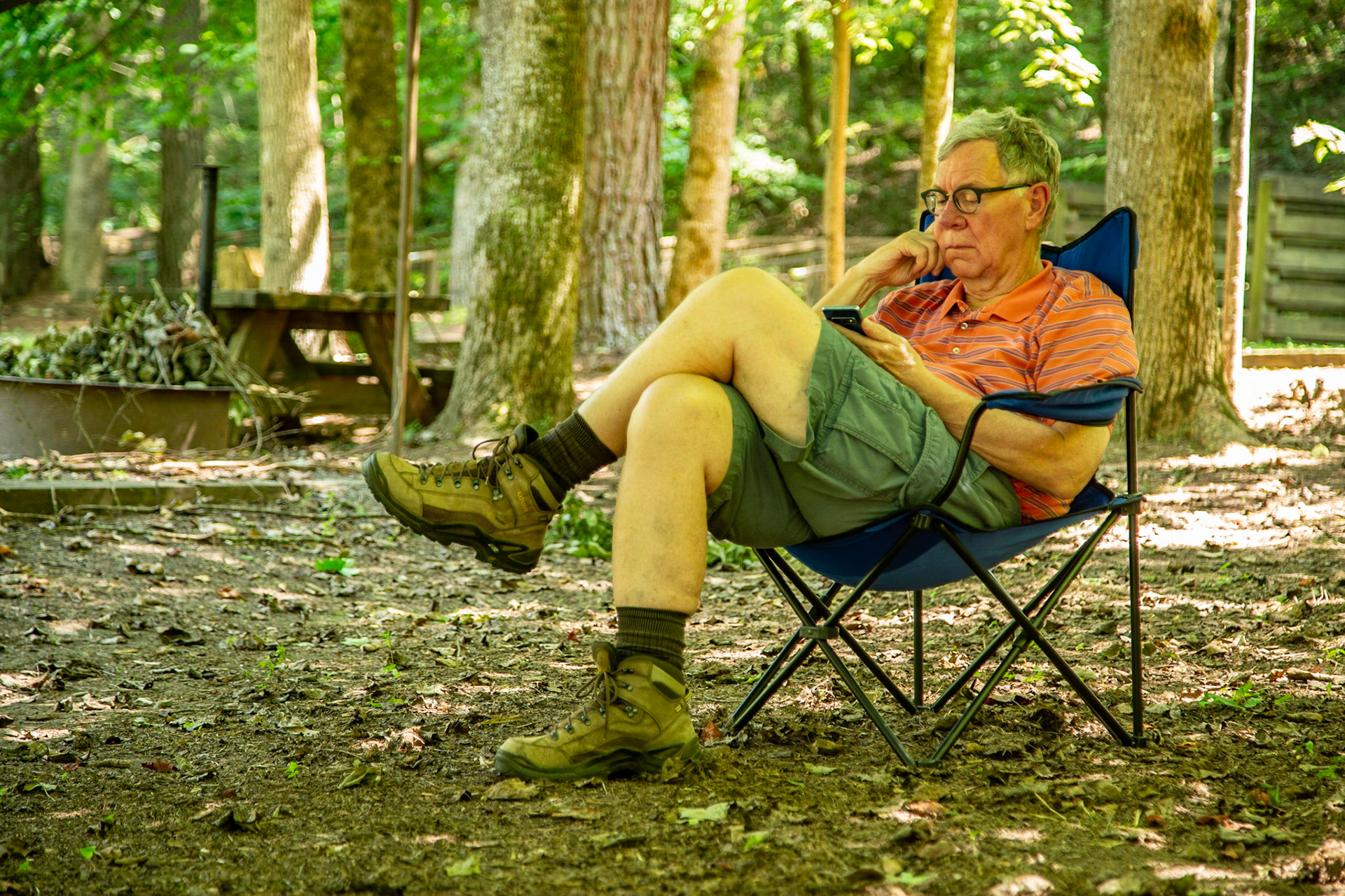
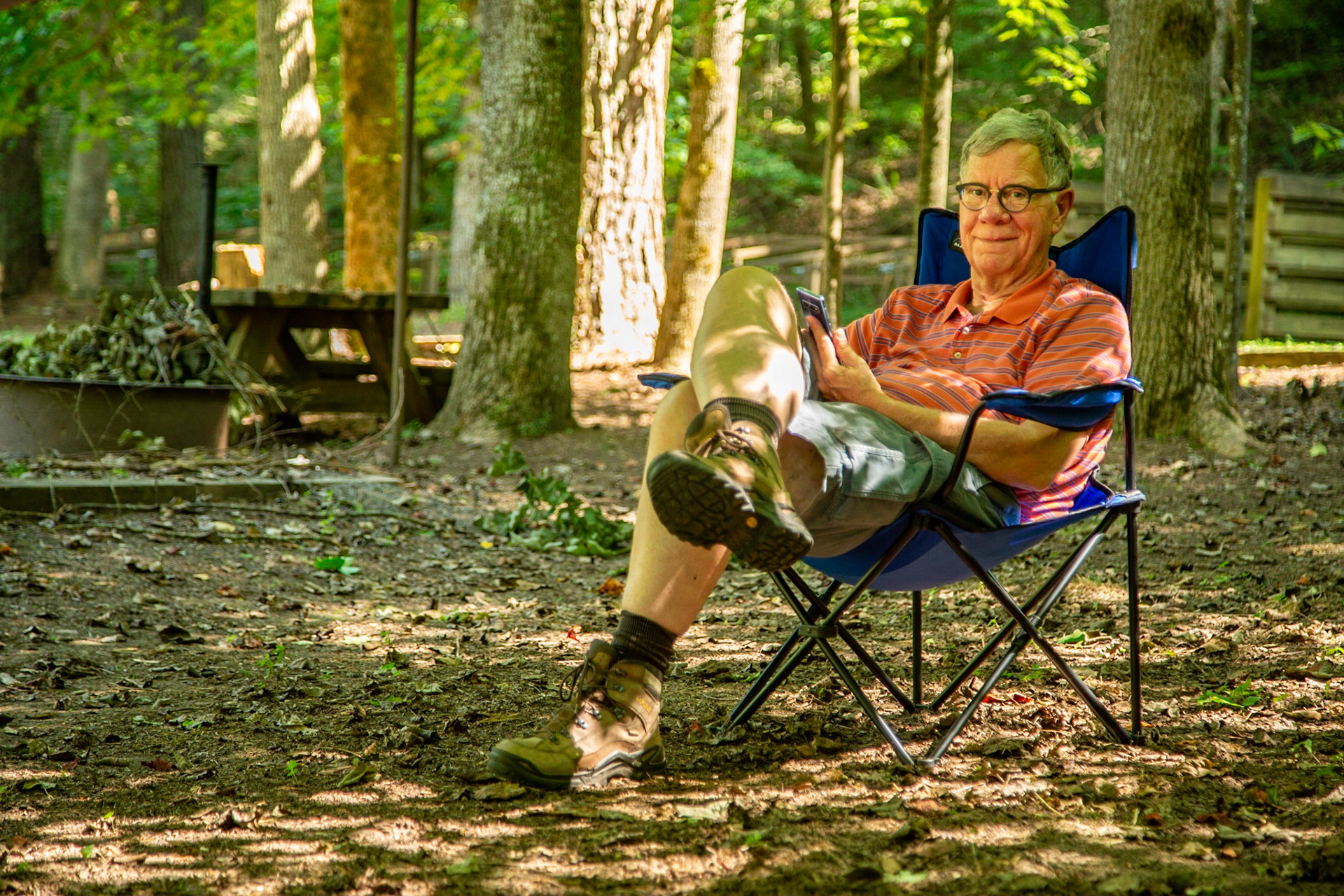
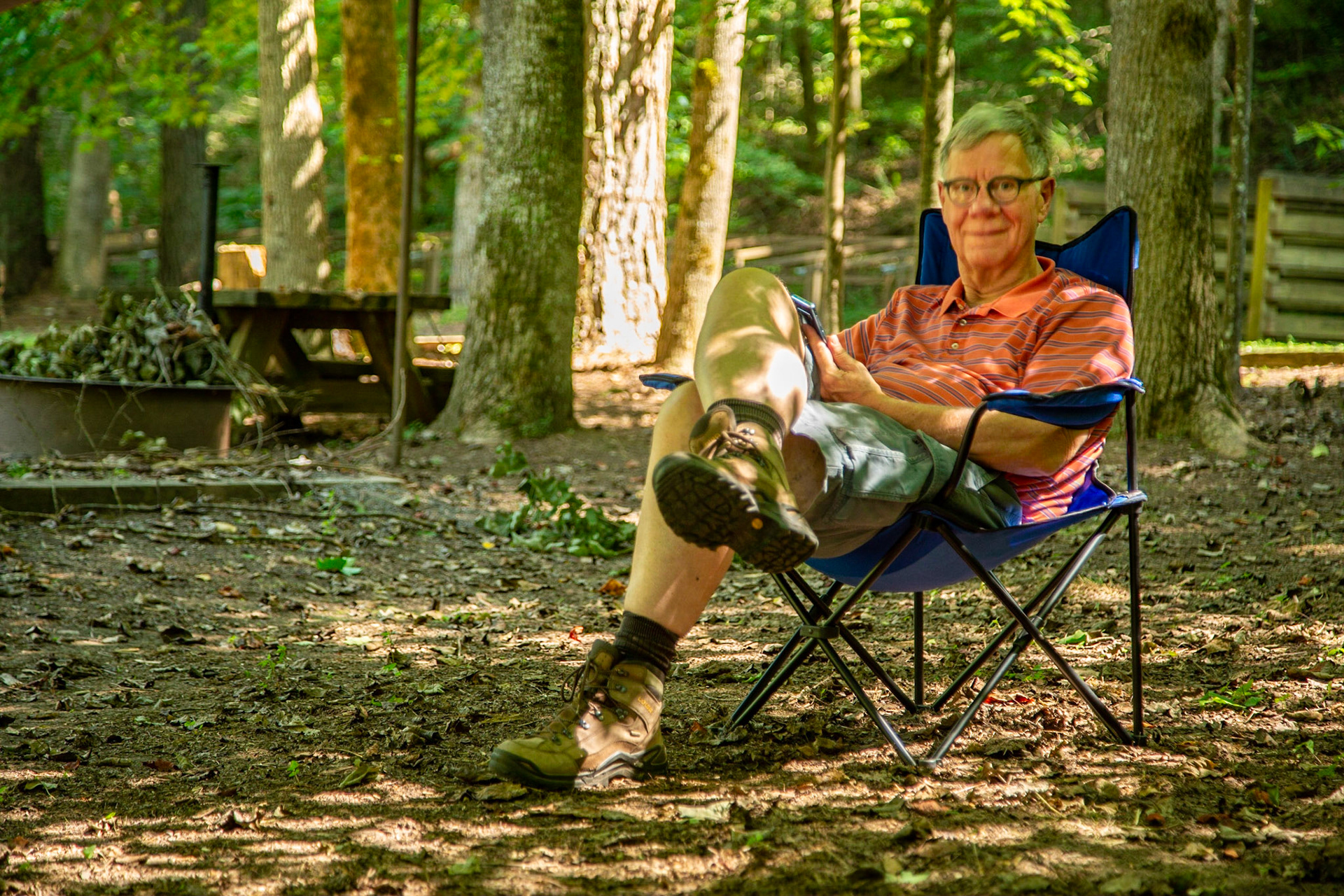
Reading a Novel at Young Branch Campground on Citico Creek Road
Reading a Novel at Young Branch Campground on Citico Creek Road
Reading a Novel at Young Branch Campground on Citico Creek Road
Reading a Novel on Citico Creek Road
Reading a Novel at Young Branch Campground on Citico Creek Road
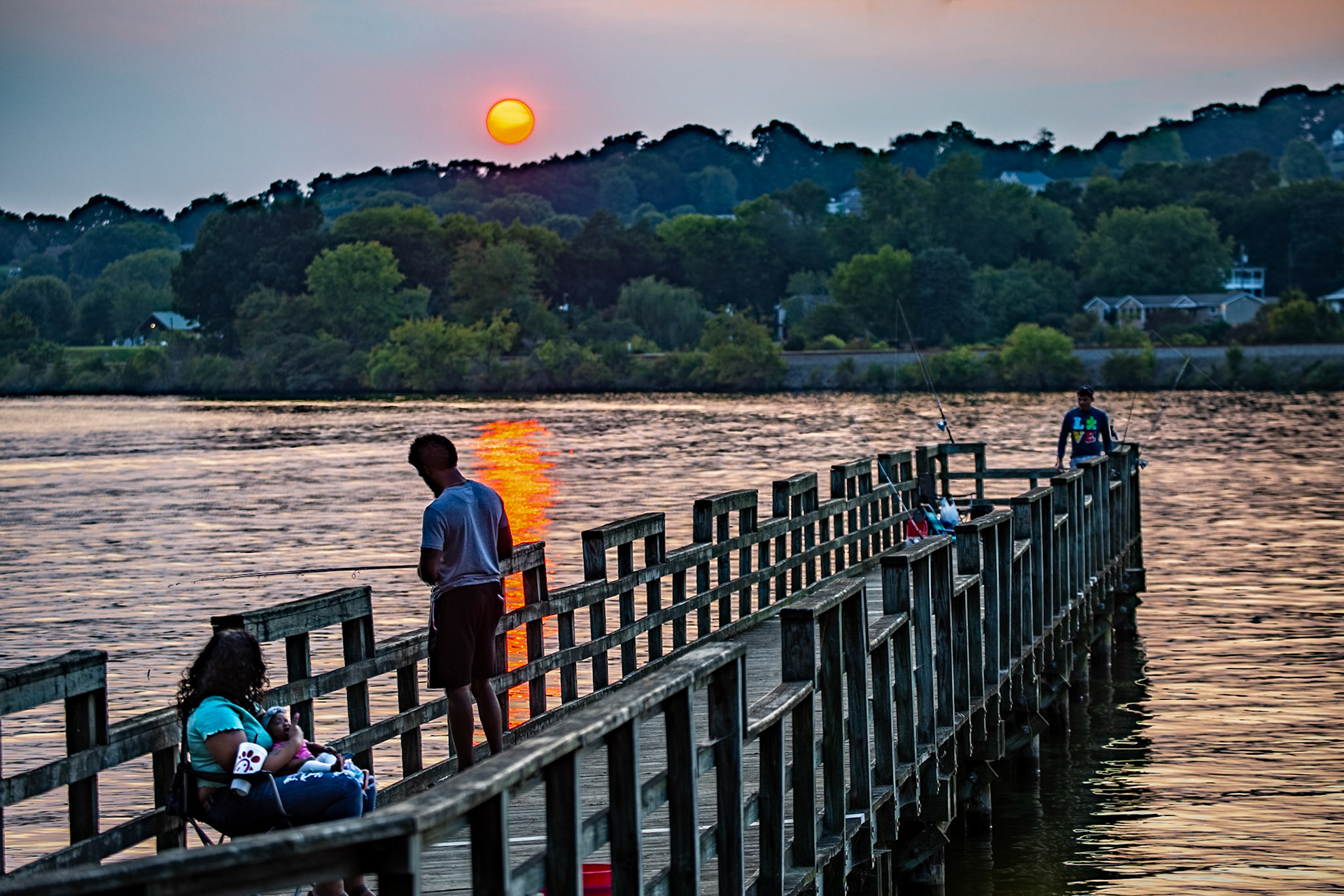
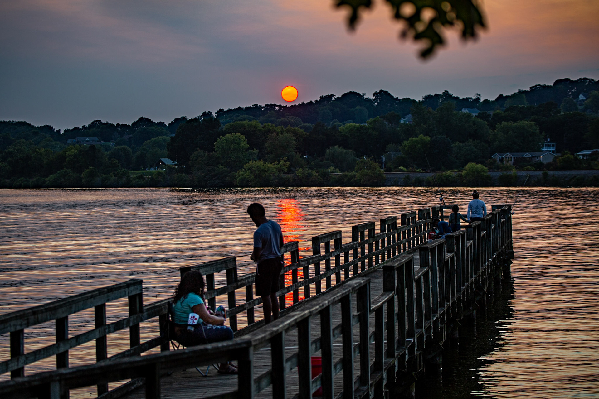
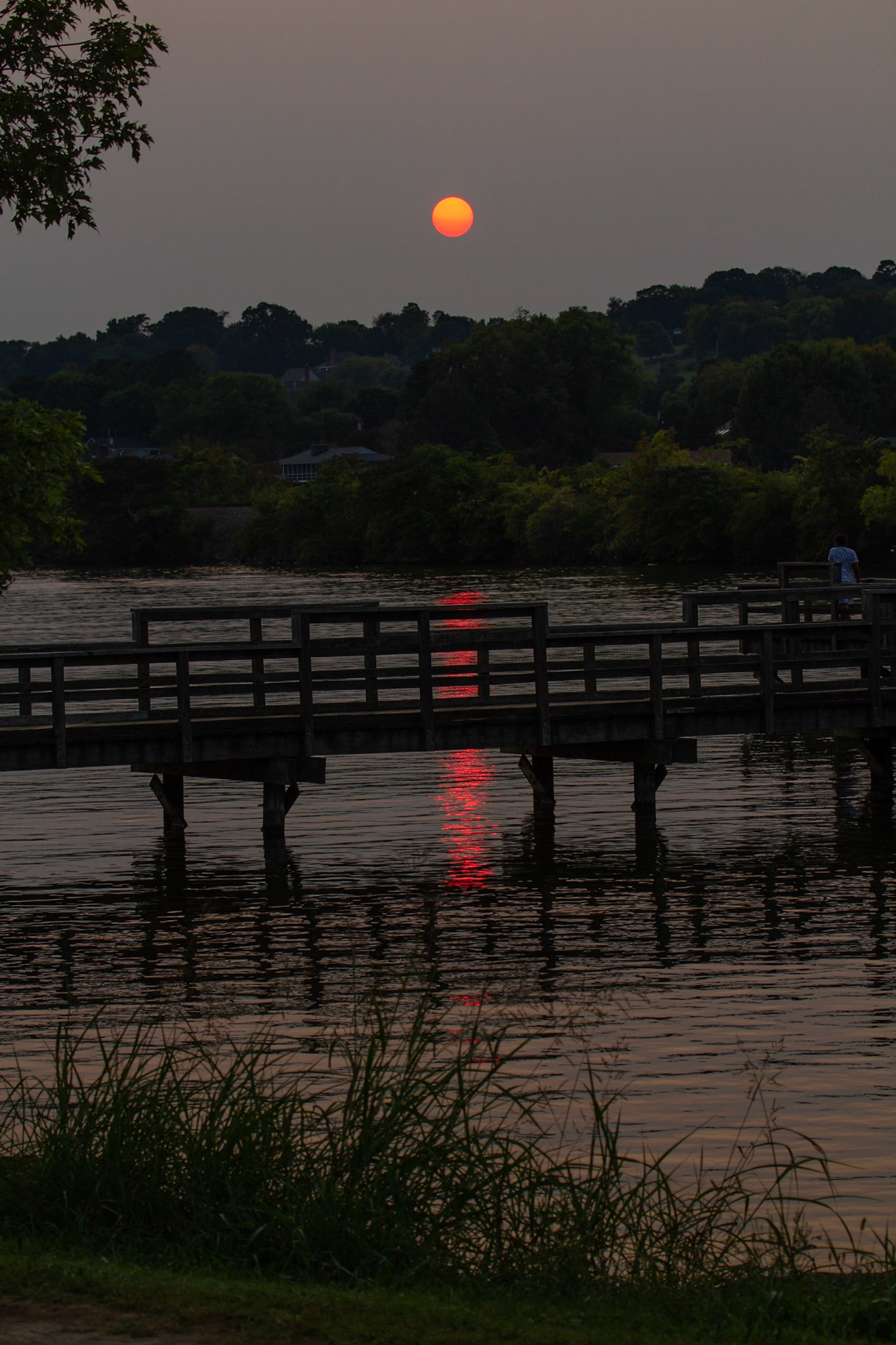
Concord Fishing Piers
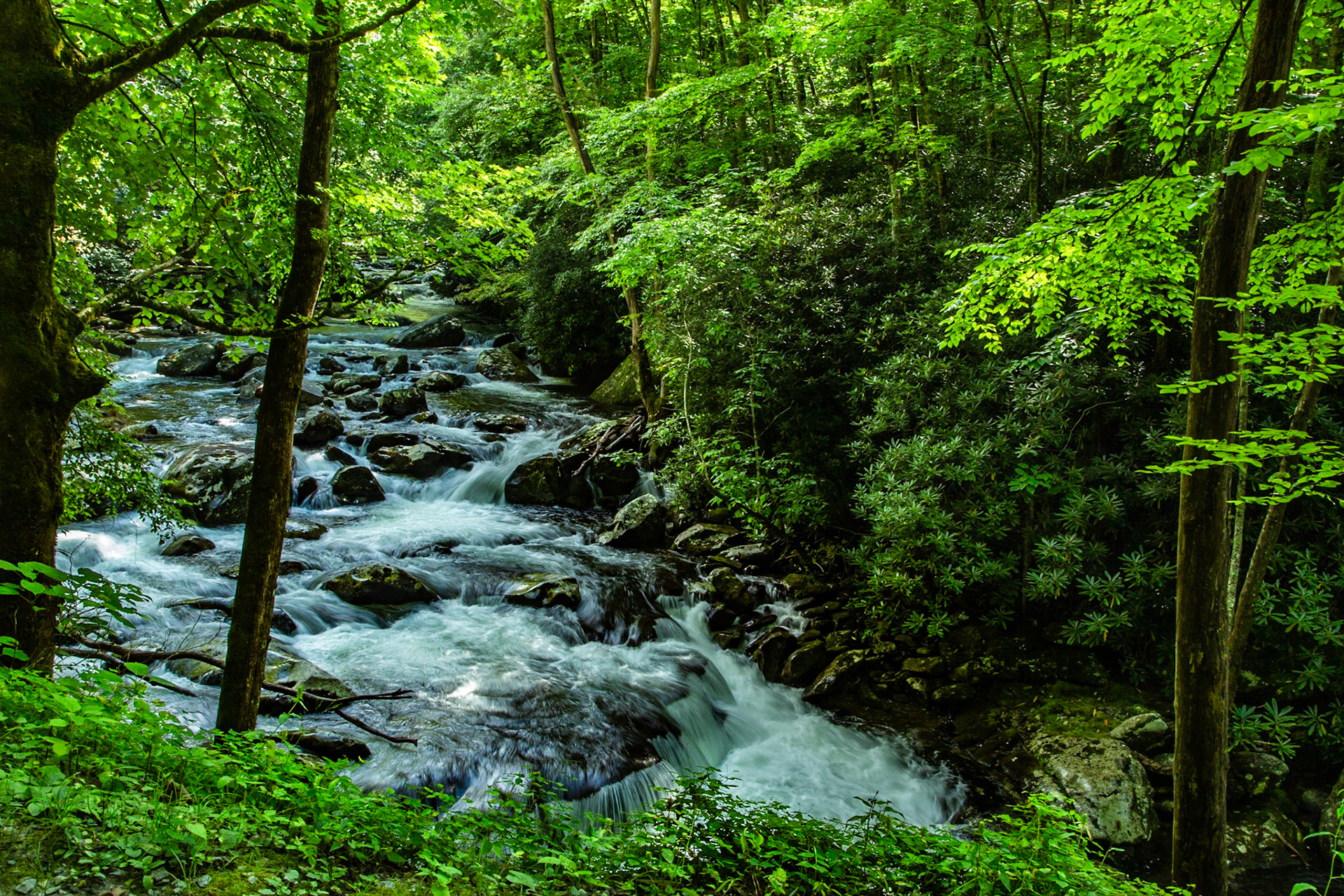
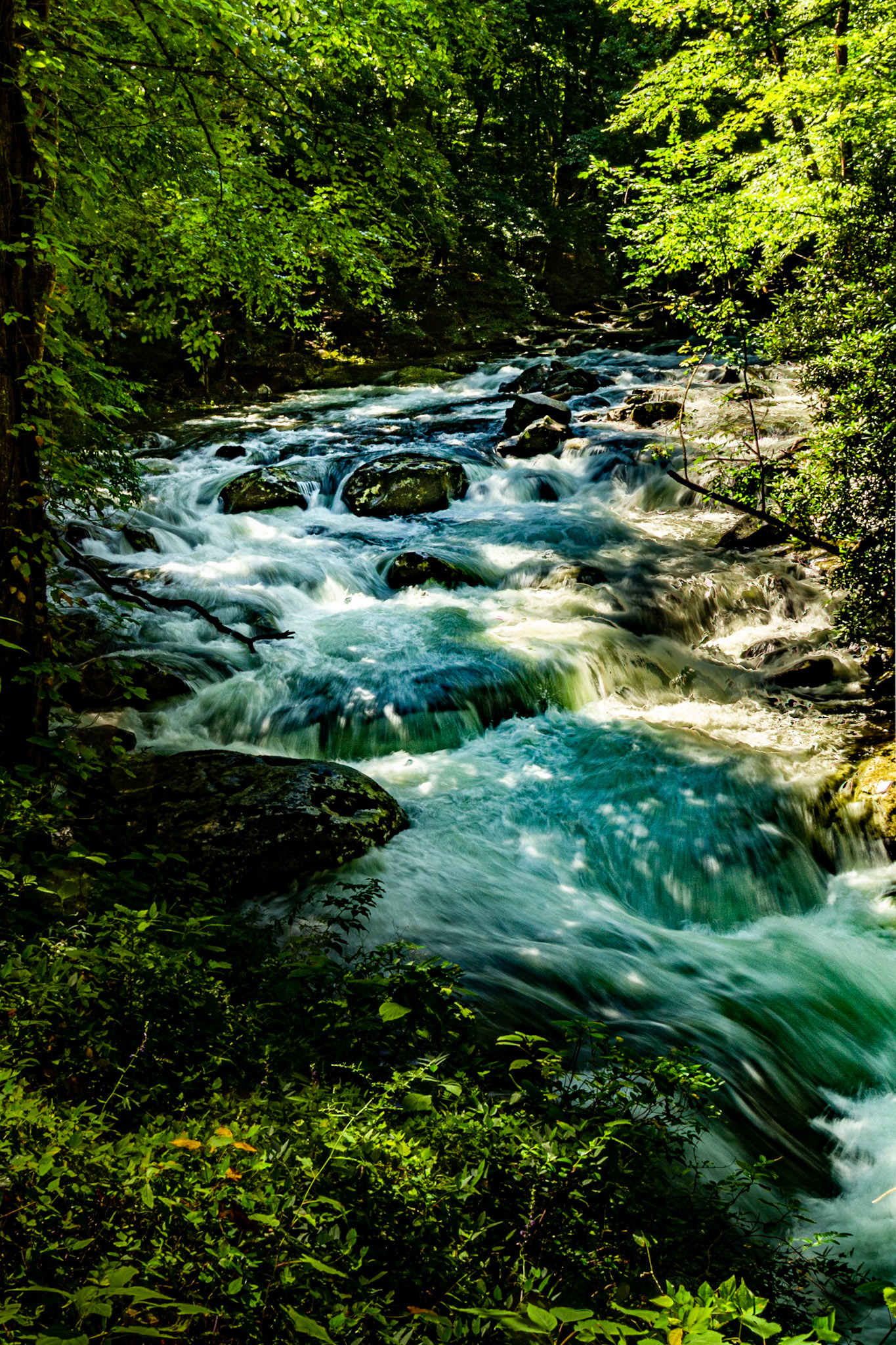
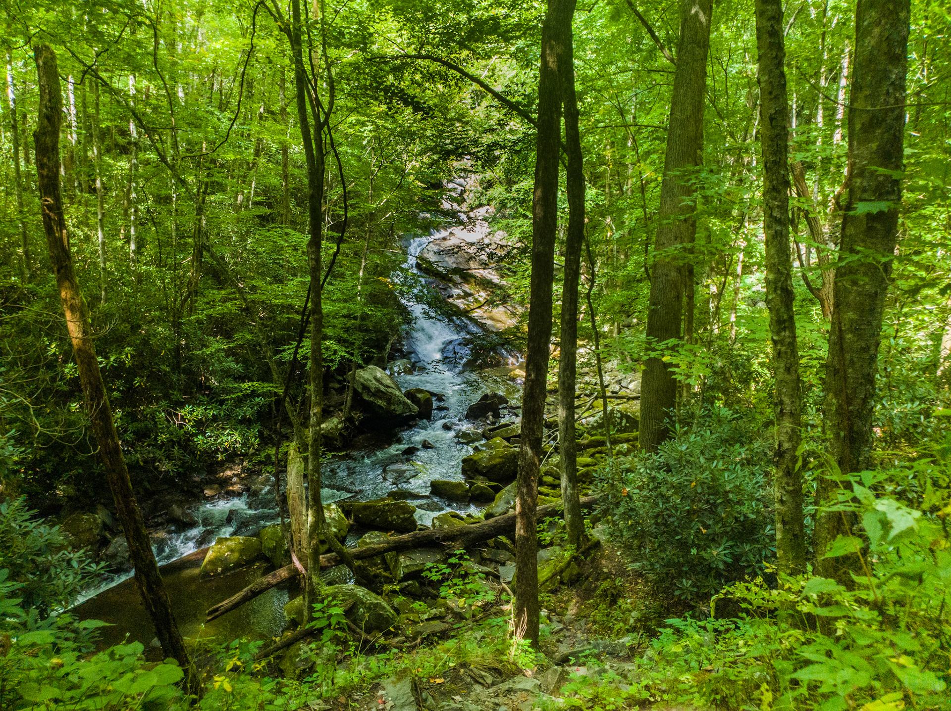
Middle Prong Little River
Middle Prong Little River
Middle Prong Little River
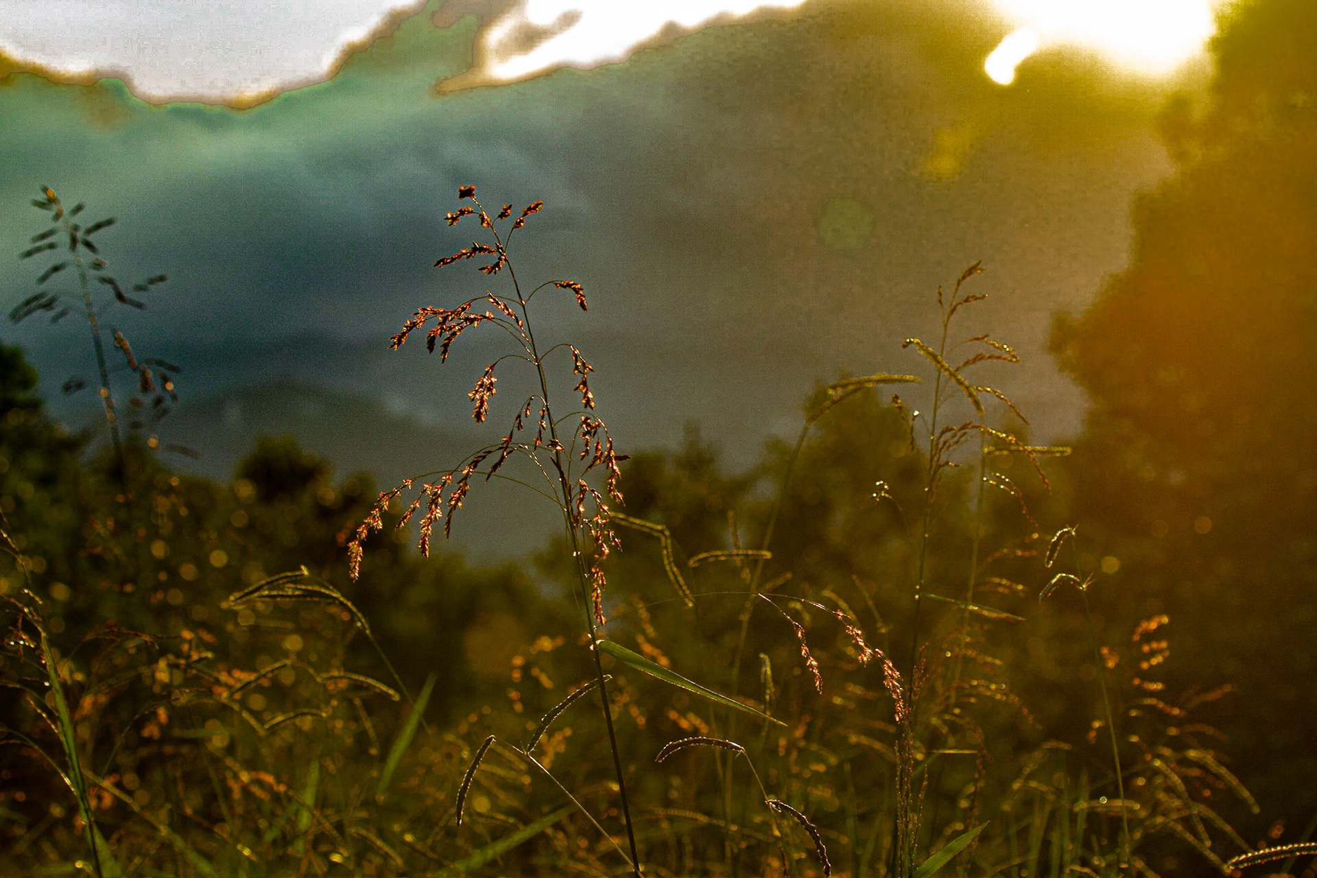
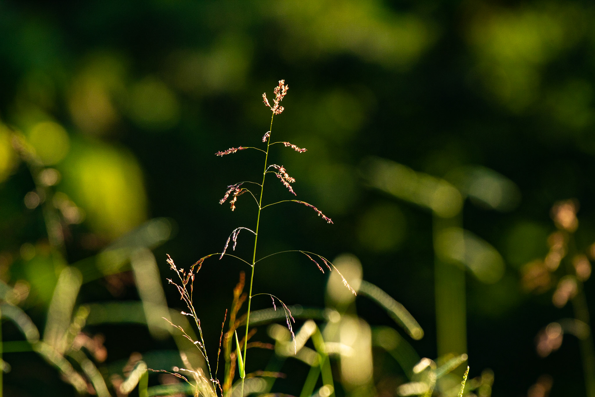
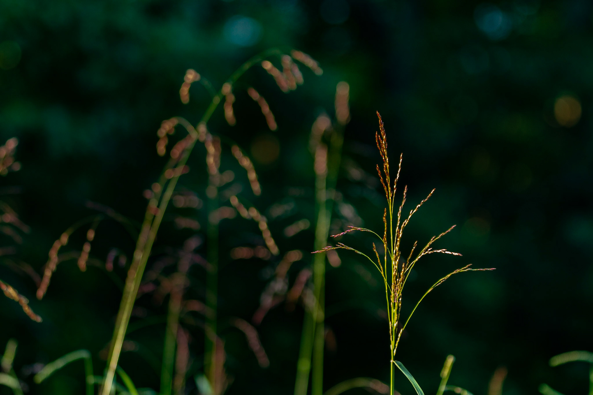
Early Morning Light and Grass
Middle Prong Little River
Fishing Piers Concord Park
Christie Lewis at Home
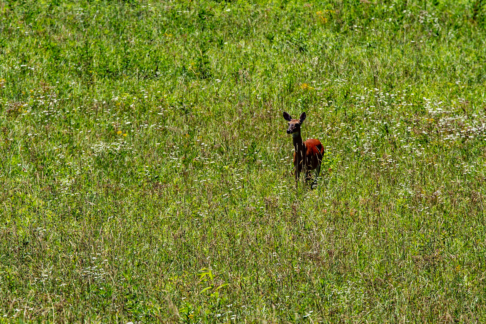
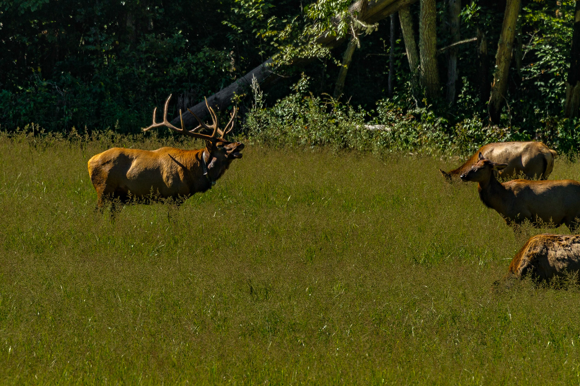
The Season for Elk in Cataloochee Valley
The Season for Elk in Cataloochee Valley
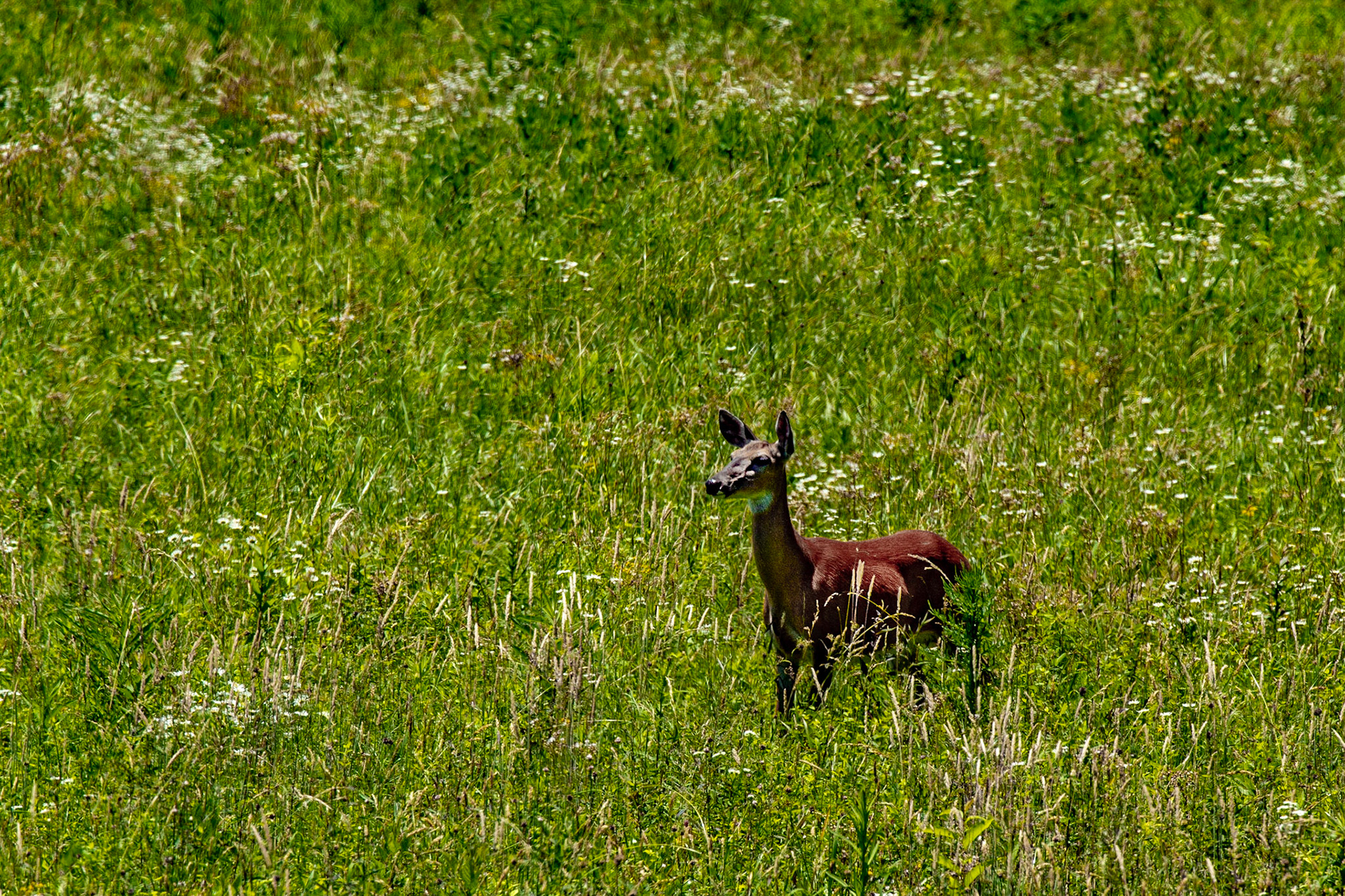
Very Early Fall in Cataloochee Valley
Very Early Fall in Cataloochee Valley
Cataloochee Creek from Bridge
Second Parking Area from Highway 129 on Foothills Parkway
Second Parking Area from Highway 129 on Foothills Parkway
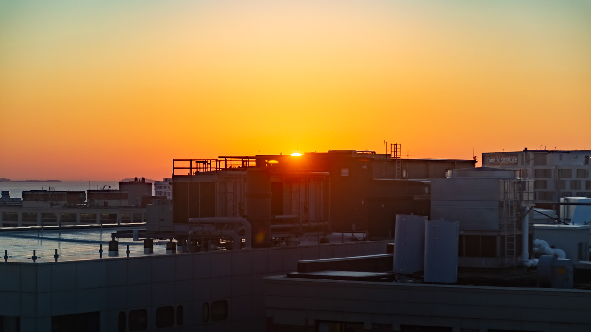
Sunrise from My Room at Westin Boston Seaport
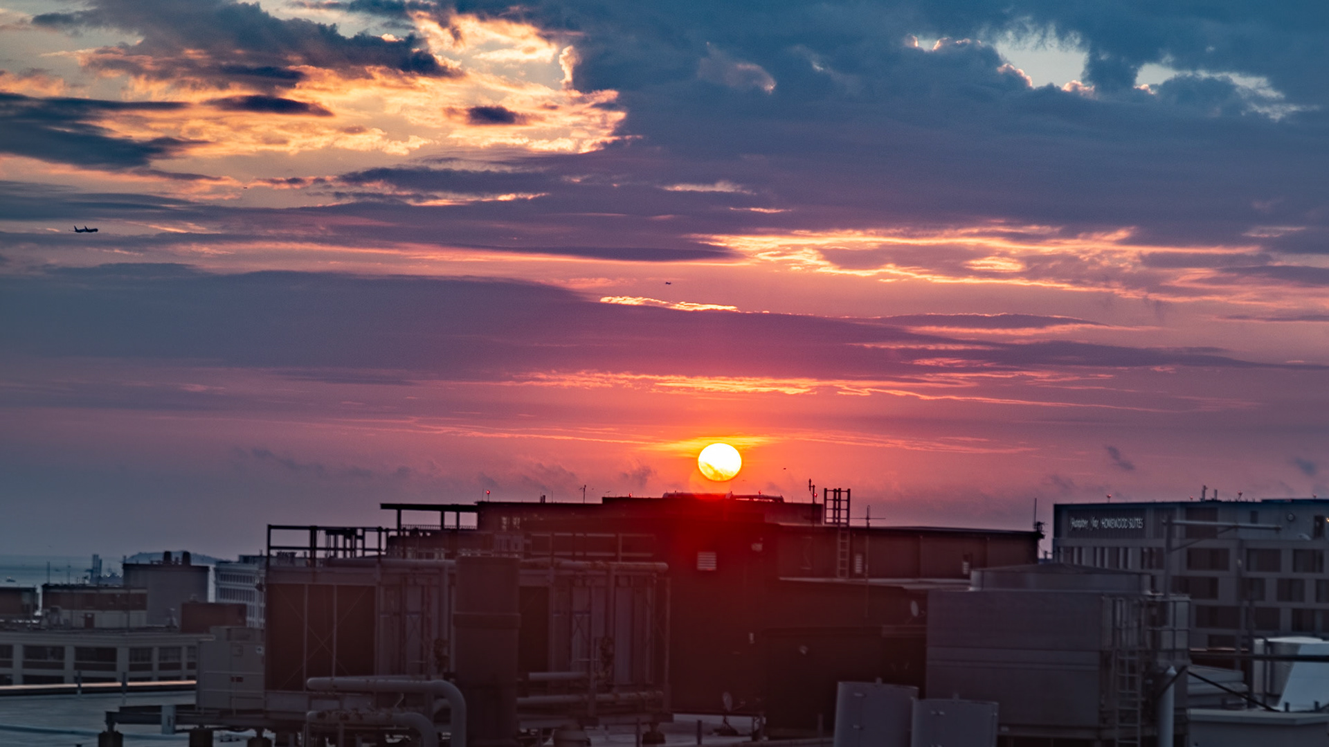
Sunrise from My Room at Westin Boston Seaport
Sunrise from My Room at Westin Boston Seaport
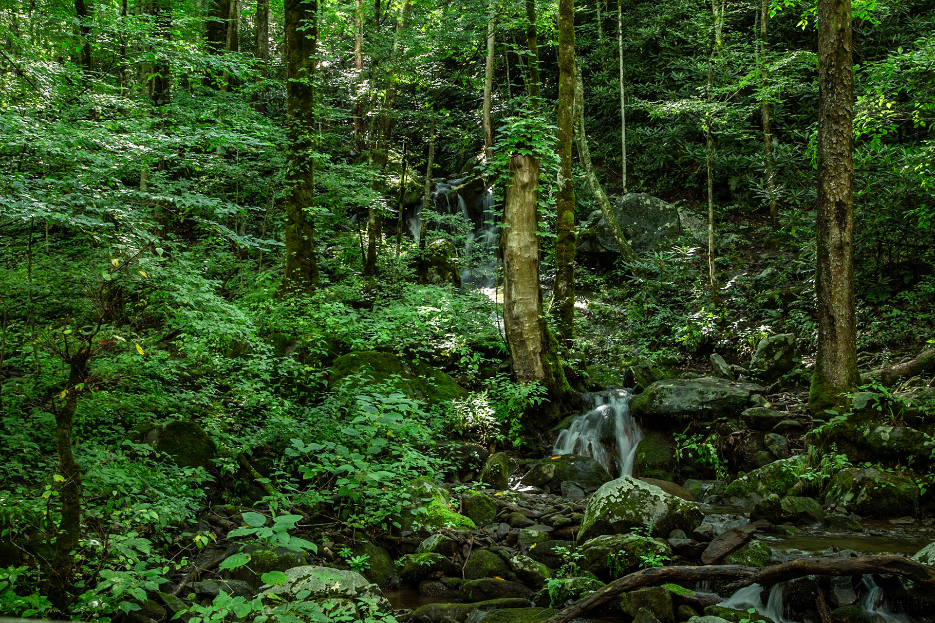
Citico Creek Color
auto
Obed Wild & Scenic River from Lilly Bluff Overlook
Christie on Lilly Bluff Overlook Trail at Obed Wild and Scenic River
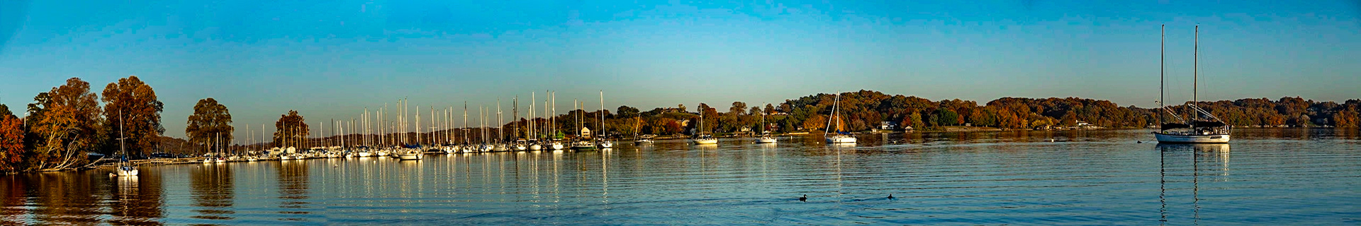
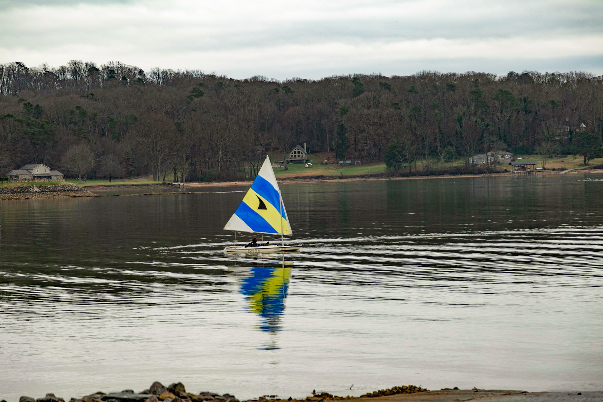
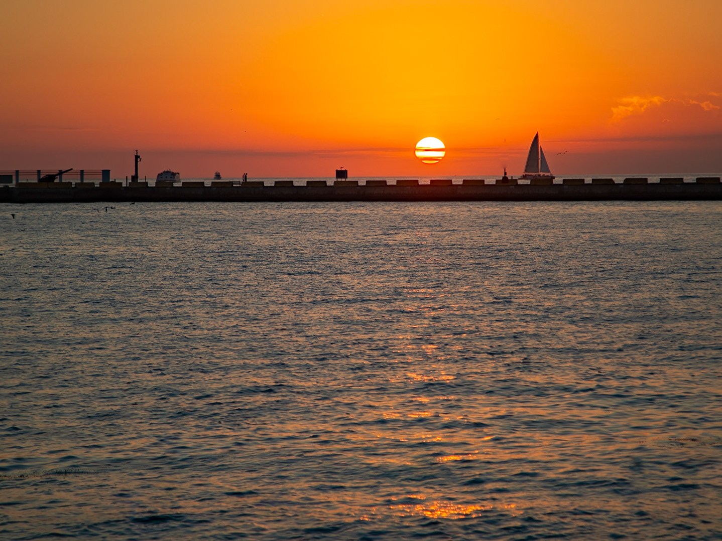
Sail Boats at The Cove
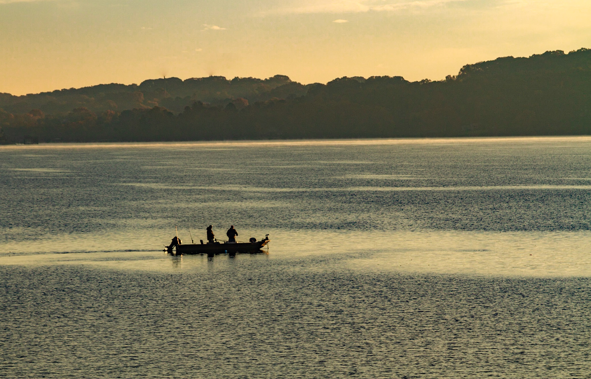
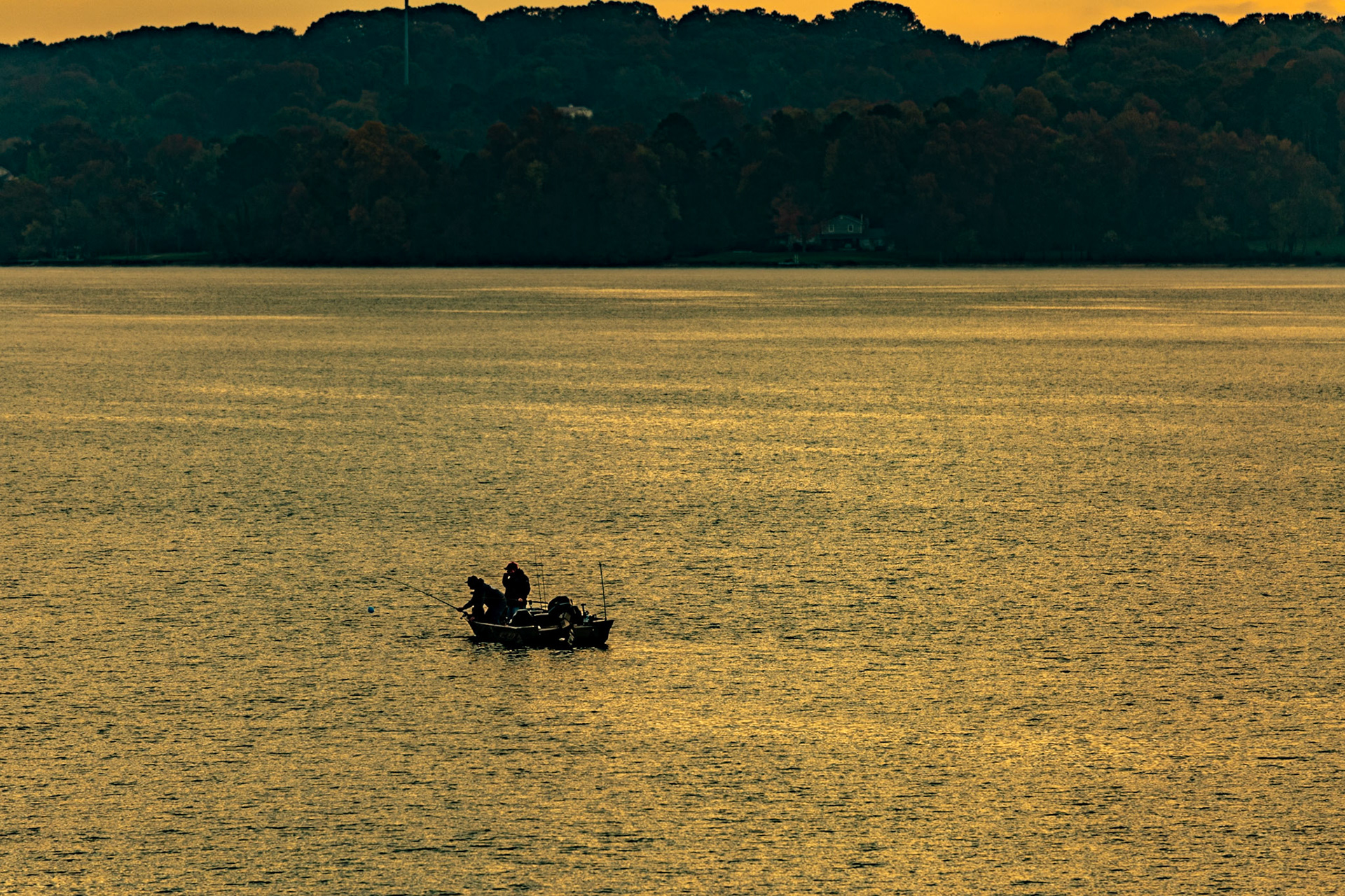
Ft Loudon Lake This Morning
Mark & Sale Boat
The best camera is the one you have with you. In this case, it was my Galaxy S!0 with the Lightroom app for a RAW file.
The best camera is the one you have with you. In this case, it was my Galaxy S!0 with the Lightroom app for a RAW file.
Christie Lewis has been shopping